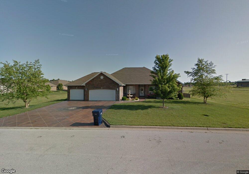
4539 E Sherwood St Springfield, MO 65802
Southeast Springfield NeighborhoodEstimated Value: $450,106 - $560,000
4
Beds
3
Baths
2,581
Sq Ft
$191/Sq Ft
Est. Value
About This Home
This home is located at 4539 E Sherwood St, Springfield, MO 65802 and is currently estimated at $491,777, approximately $190 per square foot. 4539 E Sherwood St is a home located in Greene County with nearby schools including Hickory Hills K-8 School, Glendale High School, and Grace Classical Academy.
Ownership History
Date
Name
Owned For
Owner Type
Purchase Details
Closed on
Feb 8, 2023
Sold by
Mcdonald Allen and Mcdonald Patricia
Bought by
Mcdonald Irrevocable Trust
Current Estimated Value
Purchase Details
Closed on
Jul 6, 2006
Sold by
Ozark Mountain Builders Llc
Bought by
Mcdonald Allen and Mcdonald Patricia
Purchase Details
Closed on
Nov 2, 2005
Sold by
Wild Horse Development Llc
Bought by
Ozark Mountain Builders Llc
Create a Home Valuation Report for This Property
The Home Valuation Report is an in-depth analysis detailing your home's value as well as a comparison with similar homes in the area
Home Values in the Area
Average Home Value in this Area
Purchase History
| Date | Buyer | Sale Price | Title Company |
|---|---|---|---|
| Mcdonald Irrevocable Trust | -- | -- | |
| Mcdonald Allen | -- | None Available | |
| Ozark Mountain Builders Llc | -- | None Available |
Source: Public Records
Tax History
| Year | Tax Paid | Tax Assessment Tax Assessment Total Assessment is a certain percentage of the fair market value that is determined by local assessors to be the total taxable value of land and additions on the property. | Land | Improvement |
|---|---|---|---|---|
| 2025 | $3,554 | $66,410 | $12,410 | $54,000 |
| 2024 | $3,359 | $59,470 | $8,550 | $50,920 |
| 2023 | $3,375 | $59,470 | $8,550 | $50,920 |
| 2022 | $3,092 | $52,990 | $8,550 | $44,440 |
| 2021 | $2,928 | $52,990 | $8,550 | $44,440 |
| 2020 | $2,840 | $48,930 | $8,550 | $40,380 |
| 2019 | $2,765 | $48,930 | $8,550 | $40,380 |
| 2018 | $2,720 | $48,090 | $7,600 | $40,490 |
| 2017 | $2,694 | $44,780 | $7,600 | $37,180 |
| 2016 | $2,508 | $44,780 | $7,600 | $37,180 |
| 2015 | $2,487 | $44,780 | $7,600 | $37,180 |
| 2014 | $2,436 | $43,530 | $7,600 | $35,930 |
Source: Public Records
Map
Nearby Homes
- 1460 Glade Ave
- 1545 N Oakfair Place
- 1581 N Oakfair Place
- 1527 N Edgemont Cir
- 1653 N Oakfair Place
- 4402 E Kanata Ct
- 4584 E Hidden Oak St
- 4818 E Silverado Rd
- 1630 N Waterstone Ave
- 1734 Marlowe Ave
- 4835 E Silverado Rd
- 4411 E Hidden Oak St
- Lot 50 N Waterstone Ave
- 4479 E Summerfield Dr
- 817 N Grapevine Rd
- 4156 E Division St
- 700 N Farm Road 193
- Lot 1 Morningwood
- 4035 E Brookdale Terrace
- Lot 4 Wonderview
- 4527 E Sherwood St
- 4551 E Sherwood St
- 4556 E Cromwell St
- 1389 Rosedale Ct
- 4544 E Cromwell St
- 1390 Rosedale Ct
- 1428 N Marlowe Ave
- 1440 N Marlowe Ave
- 4509 E Sherwood St
- 1377 Rosedale Ct
- 1378 Rosedale Ct
- 4559 E Cromwell St
- 1452 N Marlowe Ave
- 4508 E Sherwood St
- 4532 E Cromwell St
- 1365 Rosedale Ct
- 1380 N Marlowe Ave
- 1366 Rosedale Ct
- 4547 E Cromwell St
- 4514 E Cromwell St
Your Personal Tour Guide
Ask me questions while you tour the home.