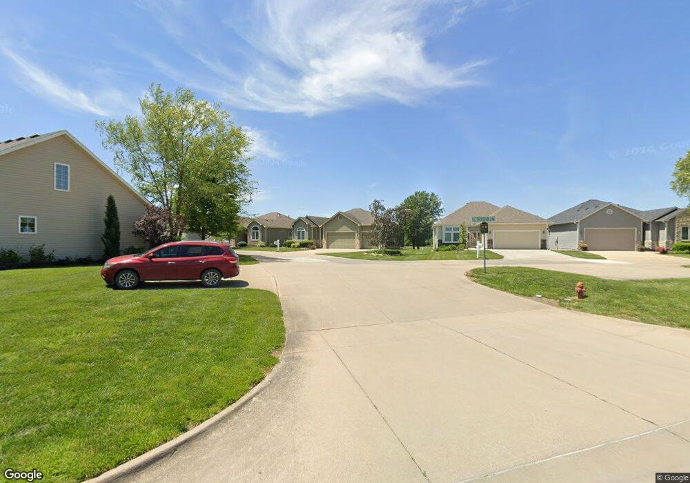
4539 SW Crenshaw Dr Topeka, KS 66610
Estimated Value: $376,000 - $409,000
4
Beds
3
Baths
2,934
Sq Ft
$135/Sq Ft
Est. Value
About This Home
This home is located at 4539 SW Crenshaw Dr, Topeka, KS 66610 and is currently estimated at $394,855, approximately $134 per square foot. 4539 SW Crenshaw Dr is a home located in Shawnee County with nearby schools including Pauline Central Primary School, Pauline South Intermediate School, and Washburn Rural Middle School.
Ownership History
Date
Name
Owned For
Owner Type
Purchase Details
Closed on
Jun 5, 2008
Sold by
Seaver Glenn W and Davenport Lori J
Bought by
Schumaker Robert E and Schumaker Judith L
Current Estimated Value
Purchase Details
Closed on
Aug 21, 2006
Sold by
Davenport Lori J and Seaver Glenn W
Bought by
Seaver Glenn W and Davenport Lori J
Purchase Details
Closed on
Jun 13, 2005
Sold by
Hughes Robert D and Hughes Delores K
Bought by
Davenport Lori J
Home Financials for this Owner
Home Financials are based on the most recent Mortgage that was taken out on this home.
Original Mortgage
$186,400
Interest Rate
5.78%
Mortgage Type
New Conventional
Create a Home Valuation Report for This Property
The Home Valuation Report is an in-depth analysis detailing your home's value as well as a comparison with similar homes in the area
Home Values in the Area
Average Home Value in this Area
Purchase History
| Date | Buyer | Sale Price | Title Company |
|---|---|---|---|
| Schumaker Robert E | -- | Lawyers Title Of Topeka Inc | |
| Seaver Glenn W | -- | None Available | |
| Davenport Lori J | -- | Capital Title Ins Co Lc |
Source: Public Records
Mortgage History
| Date | Status | Borrower | Loan Amount |
|---|---|---|---|
| Previous Owner | Davenport Lori J | $186,400 |
Source: Public Records
Tax History Compared to Growth
Tax History
| Year | Tax Paid | Tax Assessment Tax Assessment Total Assessment is a certain percentage of the fair market value that is determined by local assessors to be the total taxable value of land and additions on the property. | Land | Improvement |
|---|---|---|---|---|
| 2025 | $6,571 | $42,904 | -- | -- |
| 2023 | $6,571 | $40,838 | $0 | $0 |
| 2022 | $5,931 | $36,791 | $0 | $0 |
| 2021 | $5,264 | $32,849 | $0 | $0 |
| 2020 | $4,964 | $31,585 | $0 | $0 |
| 2019 | $4,825 | $30,665 | $0 | $0 |
| 2018 | $4,669 | $29,771 | $0 | $0 |
| 2017 | $4,632 | $29,187 | $0 | $0 |
| 2014 | -- | $29,187 | $0 | $0 |
Source: Public Records
Map
Nearby Homes
- 4419 SW Stone Ave
- 4329 SW Cambridge Ave
- 4313 SW Stone Ave
- 3313 SW 46th St
- 4406 SW Lakeside Dr
- 3334 SW 43rd St
- 4229 SW Cambridge Ave
- 4334 SW Lakeside Dr
- 3817 SW Wood Valley Dr
- 3724 SW Brook Lawn Cir
- 3746 SW Wood Valley Dr
- 4498 SW Moundview Dr
- XXXX SW Moundview Dr
- 3903 SW Burlingame Rd
- 5515 SW Mission Ave
- 3638 SW Willow Brook Ct
- 3751 SW Summerfield Dr
- 3572 SW Willow Brook Dr
- 2920 SW Twilight Dr
- 3513 SW Moundview Dr
- 4535 SW Crenshaw Dr
- 4543 SW Crenshaw Dr
- 4531 SW Crenshaw Dr
- 4531 SW Crenshaw Dr
- Blk A Lot 1 SW Crenshaw Dr Unit Plot 21 - Berkshire
- Blk A Lot 1 SW Crenshaw Dr Unit Plot 21
- Blk C Lot 18 SW Crenshaw Dr
- Blk A Lot 1 SW Crenshaw Dr Unit Plot 21, Berkshire V
- Blk A Lot 1 SW Crenshaw Dr Unit Plot 10, Berkshire V
- 4601 SW Crenshaw Dr
- 4538 SW Crenshaw Dr
- 4527 SW Crenshaw Dr
- 4542 SW Crenshaw Dr
- 4600 SW Crenshaw Dr
- 4605 SW Crenshaw Dr
- 4523 SW Crenshaw Dr
- 4604 SW Crenshaw Dr
- 4519 SW Crenshaw Dr
- 4535 SW Woods Dr
- 4608 SW Crenshaw Dr