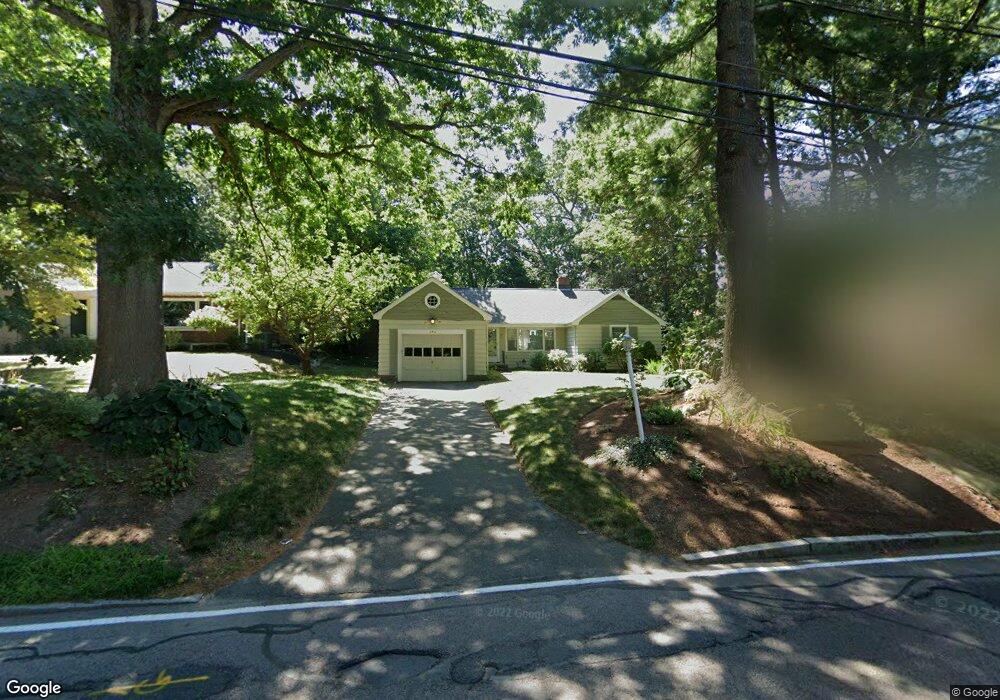
454 Eliot St Milton, MA 02186
Columbine Cliffs NeighborhoodEstimated Value: $681,000 - $1,032,000
2
Beds
2
Baths
1,206
Sq Ft
$690/Sq Ft
Est. Value
About This Home
This home is located at 454 Eliot St, Milton, MA 02186 and is currently estimated at $832,411, approximately $690 per square foot. 454 Eliot St is a home located in Norfolk County with nearby schools including Milton High School, KIPP Academy Boston Charter School, and St. Mary of the Hills School.
Ownership History
Date
Name
Owned For
Owner Type
Purchase Details
Closed on
Jun 10, 2019
Sold by
Diggs Randolph and Harriston-Diggs Stephanie
Bought by
Diggs Rt
Current Estimated Value
Purchase Details
Closed on
Oct 8, 1987
Sold by
Freeman Alan C
Bought by
Diggs Randolph M
Create a Home Valuation Report for This Property
The Home Valuation Report is an in-depth analysis detailing your home's value as well as a comparison with similar homes in the area
Home Values in the Area
Average Home Value in this Area
Purchase History
| Date | Buyer | Sale Price | Title Company |
|---|---|---|---|
| Diggs Rt | -- | -- | |
| Diggs Randolph M | $155,000 | -- |
Source: Public Records
Mortgage History
| Date | Status | Borrower | Loan Amount |
|---|---|---|---|
| Previous Owner | Diggs Randolph M | $60,000 | |
| Previous Owner | Diggs Randolph M | $15,000 | |
| Previous Owner | Diggs Randolph M | $102,500 | |
| Previous Owner | Diggs Randolph M | $7,175 |
Source: Public Records
Tax History
| Year | Tax Paid | Tax Assessment Tax Assessment Total Assessment is a certain percentage of the fair market value that is determined by local assessors to be the total taxable value of land and additions on the property. | Land | Improvement |
|---|---|---|---|---|
| 2025 | $7,721 | $696,200 | $452,700 | $243,500 |
| 2024 | $7,210 | $660,300 | $431,200 | $229,100 |
| 2023 | $7,218 | $633,200 | $410,800 | $222,400 |
| 2022 | $7,280 | $583,800 | $410,800 | $173,000 |
| 2021 | $6,997 | $532,900 | $368,200 | $164,700 |
| 2020 | $6,855 | $522,500 | $352,800 | $169,700 |
| 2019 | $6,685 | $507,200 | $342,500 | $164,700 |
| 2018 | $6,402 | $463,600 | $299,800 | $163,800 |
| 2017 | $5,992 | $441,900 | $285,500 | $156,400 |
| 2016 | $6,696 | $496,000 | $342,600 | $153,400 |
| 2015 | $6,598 | $473,300 | $319,800 | $153,500 |
Source: Public Records
Map
Nearby Homes
- 214 Brook Rd
- 27 Hawthorn Rd
- 168 Brook Rd
- 57 Columbine Rd
- 72 Columbine Rd
- 80 Blue Hills Pkwy
- 137 Thacher St Unit 137
- 16 Blue Hill Ave
- 96 Houston Ave
- 82 Blue Hill Ave
- 8 Faunce Rd Unit A
- 853 Cummins Hwy
- 640 River St
- 645 River St
- 8 Violet St
- 30 Massasoit St
- 23 Caton St
- 11 French St
- 19-21 Standard St Unit 3
- 20 Massasoit St