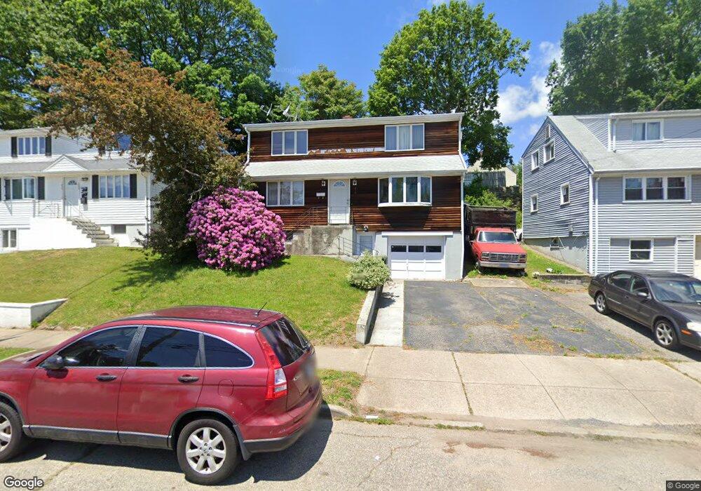
454 Merritt St Bridgeport, CT 06606
North End NeighborhoodEstimated Value: $443,000 - $485,000
3
Beds
2
Baths
1,650
Sq Ft
$282/Sq Ft
Est. Value
About This Home
This home is located at 454 Merritt St, Bridgeport, CT 06606 and is currently estimated at $465,592, approximately $282 per square foot. 454 Merritt St is a home located in Fairfield County with nearby schools including Blackham School, Central High School, and Northeastern Adventist Academy - Fairfield County.
Ownership History
Date
Name
Owned For
Owner Type
Purchase Details
Closed on
Nov 29, 2016
Sold by
Medeiros Sebastio
Bought by
Medeiros Alba
Current Estimated Value
Purchase Details
Closed on
Jun 30, 1995
Sold by
Capron Robert E and Capron Joan A
Bought by
Medeiros Sabastiao
Home Financials for this Owner
Home Financials are based on the most recent Mortgage that was taken out on this home.
Original Mortgage
$95,000
Interest Rate
7.8%
Create a Home Valuation Report for This Property
The Home Valuation Report is an in-depth analysis detailing your home's value as well as a comparison with similar homes in the area
Home Values in the Area
Average Home Value in this Area
Purchase History
| Date | Buyer | Sale Price | Title Company |
|---|---|---|---|
| Medeiros Alba | -- | -- | |
| Medeiros Alba | -- | -- | |
| Medeiros Sabastiao | $130,000 | -- | |
| Medeiros Sabastiao | $130,000 | -- |
Source: Public Records
Mortgage History
| Date | Status | Borrower | Loan Amount |
|---|---|---|---|
| Previous Owner | Medeiros Sabastiao | $255,000 | |
| Previous Owner | Medeiros Sabastiao | $179,500 | |
| Previous Owner | Medeiros Sabastiao | $95,000 |
Source: Public Records
Tax History Compared to Growth
Tax History
| Year | Tax Paid | Tax Assessment Tax Assessment Total Assessment is a certain percentage of the fair market value that is determined by local assessors to be the total taxable value of land and additions on the property. | Land | Improvement |
|---|---|---|---|---|
| 2025 | $7,986 | $183,800 | $75,310 | $108,490 |
| 2024 | $7,986 | $183,800 | $75,310 | $108,490 |
| 2023 | $7,986 | $183,800 | $75,310 | $108,490 |
| 2022 | $7,986 | $183,800 | $75,310 | $108,490 |
| 2021 | $7,986 | $183,800 | $75,310 | $108,490 |
| 2020 | $7,495 | $138,820 | $43,270 | $95,550 |
| 2019 | $7,495 | $138,820 | $43,270 | $95,550 |
| 2018 | $7,548 | $138,820 | $43,270 | $95,550 |
| 2017 | $7,548 | $138,820 | $43,270 | $95,550 |
| 2016 | $7,548 | $138,820 | $43,270 | $95,550 |
| 2015 | $6,671 | $158,080 | $49,980 | $108,100 |
| 2014 | $6,671 | $158,080 | $49,980 | $108,100 |
Source: Public Records
Map
Nearby Homes
- 604 Birmingham St
- 375 Ruth St
- 605 Merritt St
- 214 Burnsford Ave
- 38 Enid St Unit B
- 184 Merritt St
- 720 Queen St
- 495 Peet St
- 1095 Wayne St
- 245 Glendale Ave Unit D8
- 533 Glendale Ave
- 81 Ameridge Dr
- 520 Savoy St
- 113 Clark St
- 783 Clark St
- 376 Savoy St
- 932 Thorme St
- 485 Westfield Ave
- 234 Savoy St
- 200 Woodmont Ave Unit 100
- 444 Merritt St Unit 446
- 466 Merritt St
- 464 Merritt St Unit 466
- 476 Merritt St Unit 2
- 476 Merritt St
- 447 Queen St
- 474 Merritt St Unit 476
- 474 Merritt St Unit 1
- 474- Merritt St
- 457 Queen St
- 437 Queen St
- 424 Merritt St
- 484 Merritt St Unit 486
- 467 Queen St
- 486 Merritt St
- 455 Merritt St
- 445 Merritt St
- 465 Merritt St
- 417 Queen St
- 475 Merritt St