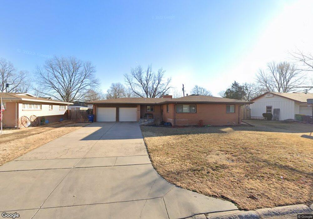
454 N Pamela Ave Wichita, KS 67212
Westlink NeighborhoodEstimated Value: $246,000 - $255,831
3
Beds
2
Baths
1,583
Sq Ft
$159/Sq Ft
Est. Value
About This Home
This home is located at 454 N Pamela Ave, Wichita, KS 67212 and is currently estimated at $250,916, approximately $158 per square foot. 454 N Pamela Ave is a home located in Sedgwick County with nearby schools including Peterson Elementary School, Wilbur Middle School, and Wichita Northwest High School.
Ownership History
Date
Name
Owned For
Owner Type
Purchase Details
Closed on
Jan 23, 2010
Sold by
Bontrager Jeffrey F and Bontrager Rebecca S
Bought by
Lehane Robert W and Lehane Dina M
Current Estimated Value
Home Financials for this Owner
Home Financials are based on the most recent Mortgage that was taken out on this home.
Original Mortgage
$127,546
Outstanding Balance
$83,869
Interest Rate
4.98%
Mortgage Type
FHA
Estimated Equity
$167,047
Purchase Details
Closed on
Nov 30, 1999
Sold by
Kirkpatrick Wallace E
Bought by
Bontrager Jeffrey F and Bontrager Rebecca S
Home Financials for this Owner
Home Financials are based on the most recent Mortgage that was taken out on this home.
Original Mortgage
$85,600
Interest Rate
7.93%
Mortgage Type
FHA
Create a Home Valuation Report for This Property
The Home Valuation Report is an in-depth analysis detailing your home's value as well as a comparison with similar homes in the area
Home Values in the Area
Average Home Value in this Area
Purchase History
| Date | Buyer | Sale Price | Title Company |
|---|---|---|---|
| Lehane Robert W | -- | None Available | |
| Bontrager Jeffrey F | -- | -- |
Source: Public Records
Mortgage History
| Date | Status | Borrower | Loan Amount |
|---|---|---|---|
| Open | Lehane Robert W | $127,546 | |
| Previous Owner | Bontrager Jeffrey F | $85,600 |
Source: Public Records
Tax History Compared to Growth
Tax History
| Year | Tax Paid | Tax Assessment Tax Assessment Total Assessment is a certain percentage of the fair market value that is determined by local assessors to be the total taxable value of land and additions on the property. | Land | Improvement |
|---|---|---|---|---|
| 2025 | $2,736 | $27,670 | $5,624 | $22,046 |
| 2023 | $2,736 | $22,460 | $3,646 | $18,814 |
| 2022 | $2,502 | $22,460 | $3,439 | $19,021 |
| 2021 | $2,399 | $20,988 | $2,806 | $18,182 |
| 2020 | $2,292 | $19,987 | $2,806 | $17,181 |
| 2019 | $2,103 | $18,331 | $2,806 | $15,525 |
| 2018 | $2,006 | $17,457 | $2,185 | $15,272 |
| 2017 | $1,929 | $0 | $0 | $0 |
| 2016 | $1,868 | $0 | $0 | $0 |
| 2015 | $1,854 | $0 | $0 | $0 |
| 2014 | $1,816 | $0 | $0 | $0 |
Source: Public Records
Map
Nearby Homes
- 31 W Rolling Hills Ct
- 300 N Wood Ave
- 324 N Fairway Ave
- 9620 W Tee Ln
- 133 N Arcadia St
- 115 N Westfield St
- 9111 W Douglas Ave
- 9109 W Douglas Ave
- 827 N Westlink Ave
- 380 & 382 N Country Acres
- 860 N Valleyview St
- 967 N Robin Rd
- 8421 W Murdock St
- 238 N Mesa St
- 1112 N Westfield Ave
- 408 S Turquoise St
- 141 N Muirfield St
- 229 S Gleneagles Ct
- 1138 N Chipper Ln
- 980 N Brownthrush Ln
- 460 N Pamela Ave
- 448 N Pamela Ave
- 435 N Peterson Ave
- 443 N Peterson Ave
- 466 N Pamela Ave
- 427 N Peterson Ave
- 442 N Pamela Ave
- 459 N Pamela Ave
- 463 N Pamela Ave
- 451 N Peterson Ave
- 451 Peterson St
- 457 N Pamela Ave
- 472 N Pamela Ave
- 453 N Pamela Ave
- 401 N Peterson Ave
- 467 N Pamela Ave
- 459 N Peterson Ave
- 444 N Peterson Ave
- 478 N Pamela Ave
- 447 N Pamela Ave