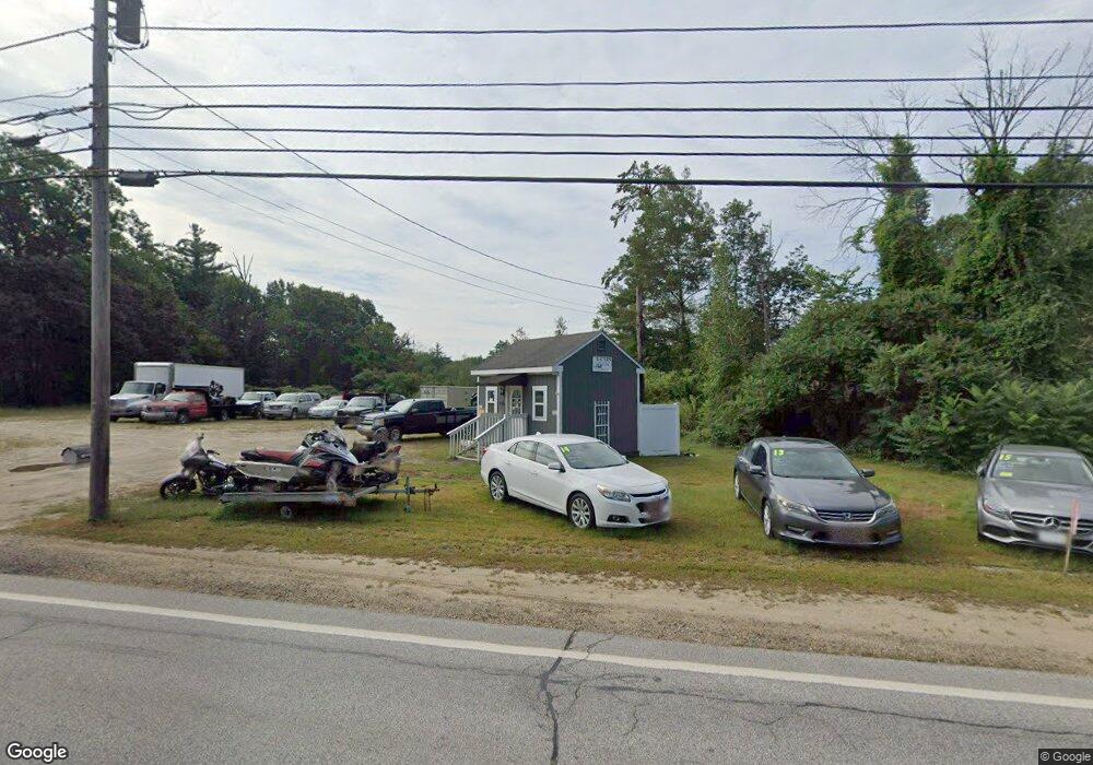
454 W Main St Tilton, NH 03276
Tilton Neighborhood
--
Bed
--
Bath
--
Sq Ft
2.11
Acres
About This Home
This home is located at 454 W Main St, Tilton, NH 03276. 454 W Main St is a home located in Belknap County with nearby schools including Union Sanborn School, Southwick School, and Winnisquam Regional Middle School.
Ownership History
Date
Name
Owned For
Owner Type
Purchase Details
Closed on
Feb 23, 2006
Sold by
Emerson Ronald S and Emerson Rebecca
Bought by
Mountain Top Trailer S and Kaulbach
Home Financials for this Owner
Home Financials are based on the most recent Mortgage that was taken out on this home.
Original Mortgage
$109,000
Outstanding Balance
$61,254
Interest Rate
6.17%
Mortgage Type
Purchase Money Mortgage
Purchase Details
Closed on
Feb 24, 1999
Sold by
Emerson Randall L and Emerson Ronald S
Bought by
Emerson Ronald S and Emerson Rebecca
Create a Home Valuation Report for This Property
The Home Valuation Report is an in-depth analysis detailing your home's value as well as a comparison with similar homes in the area
Home Values in the Area
Average Home Value in this Area
Purchase History
| Date | Buyer | Sale Price | Title Company |
|---|---|---|---|
| Mountain Top Trailer S | $137,000 | -- | |
| Mountain Top Trailer S | $137,000 | -- | |
| Emerson Ronald S | $14,000 | -- | |
| Emerson Ronald S | $14,000 | -- |
Source: Public Records
Mortgage History
| Date | Status | Borrower | Loan Amount |
|---|---|---|---|
| Open | Mountain Top Trailer S | $109,000 | |
| Closed | Emerson Ronald S | $109,000 |
Source: Public Records
Tax History Compared to Growth
Tax History
| Year | Tax Paid | Tax Assessment Tax Assessment Total Assessment is a certain percentage of the fair market value that is determined by local assessors to be the total taxable value of land and additions on the property. | Land | Improvement |
|---|---|---|---|---|
| 2024 | $2,419 | $224,000 | $204,200 | $19,800 |
| 2023 | $2,178 | $123,000 | $115,800 | $7,200 |
| 2022 | $1,977 | $123,000 | $115,800 | $7,200 |
| 2021 | $2,012 | $123,000 | $115,800 | $7,200 |
| 2020 | $2,272 | $123,000 | $115,800 | $7,200 |
| 2019 | $2,412 | $123,000 | $115,800 | $7,200 |
| 2018 | $1,291 | $57,800 | $52,000 | $5,800 |
| 2017 | $1,243 | $57,800 | $52,000 | $5,800 |
| 2016 | $1,908 | $92,100 | $81,900 | $10,200 |
| 2015 | $2,116 | $92,100 | $81,900 | $10,200 |
| 2014 | $1,834 | $92,100 | $81,900 | $10,200 |
| 2013 | $1,973 | $107,800 | $97,600 | $10,200 |
| 2012 | $1,829 | $100,200 | $97,600 | $2,600 |
Source: Public Records
Map
Nearby Homes
- 495 W Main St
- 22 Cedar St
- 0 Clark Rd Unit 7-1 5058307
- 18 Pine St
- 9 High St
- R02-13 Calef Hill Rd
- 12 Holmes Ave
- 1 Marsh Hill Cir
- 12 Kimball St
- 12 Foothills Way
- 12 Village Way Unit 38
- 39 Village Way Unit 21
- 22 Stonehenge Cir Unit 7
- 41 Village Way Unit 22
- 24 Village Way Unit 33
- 48 Millstone Dr Unit 58
- 50 Millstone Dr Unit 57
- 24 Munroe St Unit 2
- 24 Munroe St Unit 1&2
- 24 Munroe St Unit 1
- 448 W Main St
- 448 W Main St Unit 1
- 468 W Main St
- 438 W Main St
- 472 W Main St Unit Shop
- 472 W Main St Unit Front Building
- 472 W Main St Unit Middle Building
- 472 W Main St Unit 2
- 472 W Main St Unit 3
- 434 W Main St
- 476 W Main St
- 430 W Main St
- 426/428 W Main St
- 426 W Main St
- 440 W Main St
- 436 W Main St
- 492 W Main St
- 486 W Main St
- 435 W Main St
- 4 Deer St Unit 16