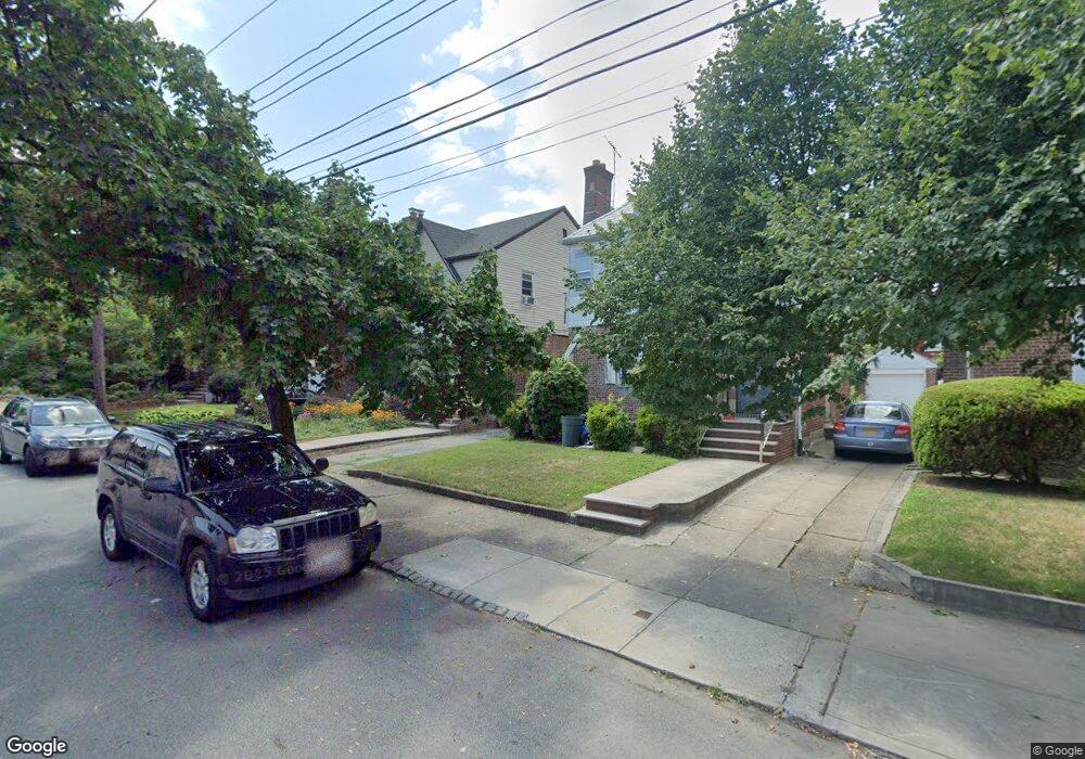
4540 167th St Flushing, NY 11358
East Flushing NeighborhoodEstimated Value: $987,544 - $1,113,000
Studio
--
Bath
1,380
Sq Ft
$777/Sq Ft
Est. Value
About This Home
This home is located at 4540 167th St, Flushing, NY 11358 and is currently estimated at $1,072,386, approximately $777 per square foot. 4540 167th St is a home located in Queens County with nearby schools including P.S. 107 Thomas A Dooley, I.S. 25 Adrien Block, and Francis Lewis High School.
Ownership History
Date
Name
Owned For
Owner Type
Purchase Details
Closed on
Jun 19, 2001
Sold by
Quinn Kevin T
Bought by
Ruff Mark and Marini-Ruff Mary Beth
Current Estimated Value
Home Financials for this Owner
Home Financials are based on the most recent Mortgage that was taken out on this home.
Original Mortgage
$270,400
Outstanding Balance
$103,452
Interest Rate
7.2%
Estimated Equity
$968,934
Create a Home Valuation Report for This Property
The Home Valuation Report is an in-depth analysis detailing your home's value as well as a comparison with similar homes in the area
Home Values in the Area
Average Home Value in this Area
Purchase History
| Date | Buyer | Sale Price | Title Company |
|---|---|---|---|
| Ruff Mark | -- | -- |
Source: Public Records
Mortgage History
| Date | Status | Borrower | Loan Amount |
|---|---|---|---|
| Open | Ruff Mark | $270,400 |
Source: Public Records
Tax History
| Year | Tax Paid | Tax Assessment Tax Assessment Total Assessment is a certain percentage of the fair market value that is determined by local assessors to be the total taxable value of land and additions on the property. | Land | Improvement |
|---|---|---|---|---|
| 2025 | $8,594 | $46,381 | $12,300 | $34,081 |
| 2024 | $6,920 | $44,190 | $12,612 | $31,578 |
| 2023 | $8,115 | $41,803 | $11,452 | $30,351 |
| 2022 | $8,193 | $54,660 | $15,960 | $38,700 |
| 2021 | $6,640 | $51,000 | $15,960 | $35,040 |
| 2020 | $7,885 | $50,100 | $15,960 | $34,140 |
| 2019 | $7,411 | $53,220 | $15,960 | $37,260 |
| 2018 | $6,804 | $34,836 | $12,607 | $22,229 |
| 2017 | $6,802 | $34,836 | $13,728 | $21,108 |
| 2016 | $6,373 | $34,836 | $13,728 | $21,108 |
| 2015 | $3,744 | $32,209 | $14,804 | $17,405 |
| 2014 | $3,744 | $30,688 | $14,746 | $15,942 |
Source: Public Records
Map
Nearby Homes
- 45-18 166th St
- 45-25 168th St
- 4564 170th St
- 45-74 164th St
- 163-02 45th Ave
- 4328 168th St
- 43-58 163rd St
- 43-33 163rd St
- 43-27 162nd St
- 167-22 Northern Blvd
- 45-57 160th St
- 46-12 161st St Unit 1D
- 46-12 161st St Unit 2C
- 47-04 167th St
- 4344 161st St
- 4363 160th St
- 47-21 162nd St
- 47-23 164th St
- 171-06 Bagley Ave
- 45-32 Utopia Pkwy
Your Personal Tour Guide
Ask me questions while you tour the home.