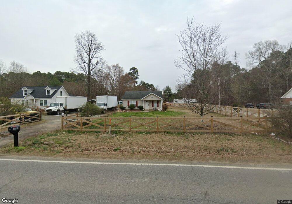
4540 Denfield St Durham, NC 27704
Weaver NeighborhoodEstimated Value: $283,000 - $318,000
3
Beds
2
Baths
1,112
Sq Ft
$272/Sq Ft
Est. Value
About This Home
This home is located at 4540 Denfield St, Durham, NC 27704 and is currently estimated at $302,893, approximately $272 per square foot. 4540 Denfield St is a home located in Durham County with nearby schools including Eno Valley Elementary, George L Carrington Middle, and Northern High School.
Ownership History
Date
Name
Owned For
Owner Type
Purchase Details
Closed on
Jun 27, 2005
Sold by
Roberts Bryant B and Roberts Deborah B
Bought by
Ayala Doris and Ayala Doris E
Current Estimated Value
Home Financials for this Owner
Home Financials are based on the most recent Mortgage that was taken out on this home.
Original Mortgage
$107,793
Interest Rate
5.71%
Mortgage Type
FHA
Create a Home Valuation Report for This Property
The Home Valuation Report is an in-depth analysis detailing your home's value as well as a comparison with similar homes in the area
Home Values in the Area
Average Home Value in this Area
Purchase History
| Date | Buyer | Sale Price | Title Company |
|---|---|---|---|
| Ayala Doris | $109,500 | -- |
Source: Public Records
Mortgage History
| Date | Status | Borrower | Loan Amount |
|---|---|---|---|
| Previous Owner | Ayala Doris | $107,793 |
Source: Public Records
Tax History
| Year | Tax Paid | Tax Assessment Tax Assessment Total Assessment is a certain percentage of the fair market value that is determined by local assessors to be the total taxable value of land and additions on the property. | Land | Improvement |
|---|---|---|---|---|
| 2025 | $2,880 | $290,576 | $81,650 | $208,926 |
| 2024 | $2,315 | $165,935 | $17,750 | $148,185 |
| 2023 | $2,174 | $165,935 | $17,750 | $148,185 |
| 2022 | $2,124 | $165,935 | $17,750 | $148,185 |
| 2021 | $2,114 | $165,935 | $17,750 | $148,185 |
| 2020 | $2,064 | $165,935 | $17,750 | $148,185 |
| 2019 | $2,064 | $165,935 | $17,750 | $148,185 |
| 2018 | $1,180 | $87,021 | $14,200 | $72,821 |
| 2017 | $1,172 | $87,021 | $14,200 | $72,821 |
| 2016 | $1,132 | $87,021 | $14,200 | $72,821 |
| 2015 | $1,341 | $96,902 | $18,818 | $78,084 |
| 2014 | $1,341 | $96,902 | $18,818 | $78,084 |
Source: Public Records
Map
Nearby Homes
- 4511 Denfield St
- 4520 Denfield St
- 4505 Laymans Chapel Rd
- 4428 Ryan St
- 4429 Ryan St
- 320 Todd St
- Cameron Plan at Bull City North
- 2123 Titanium Rock Rd
- 2125 Titanium Rock Rd
- 2129 Titanium Rock Rd
- 2131 Titanium Rock Rd
- 2200 Titanium Rock Rd
- 2204 Titanium Rock Rd
- 2206 Titanium Rock Rd
- 2211 Titanium Rock Rd
- 2208 Titanium Rock Rd
- 2217 Titanium Rock Rd
- 2210 Titanium Rock Rd
- 213 Teel Dr
- 512 Summer Storm Dr
- 4602 Denfield St
- 4536 Denfield St
- 4528 Denfield St
- 320 Monk Rd
- 4608 Denfield St
- 4529 Denfield St
- 321 Monk Rd
- 4603 Denfield St
- 4605 Denfield St
- 4613 Denfield St
- 316 Monk Rd
- 4523 Denfield St
- 4523 (Lot Denfield St
- 4523 Denfield St Unit A
- 4521 Denfield St
- 4521 (Lot Denfield St
- 4521 Denfield St
- 4521 Denfield St
- 4521 Denfield St Unit B
- 4521 Denfield St Unit B