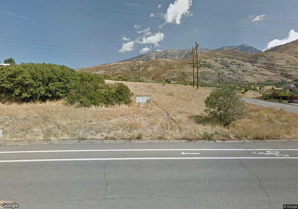
4540 N Foothill Dr Unit 300 Provo, UT 84604
Rock Canyon NeighborhoodEstimated Value: $720,000 - $794,000
3
Beds
3
Baths
1,877
Sq Ft
$401/Sq Ft
Est. Value
About This Home
This home is located at 4540 N Foothill Dr Unit 300, Provo, UT 84604 and is currently estimated at $753,008, approximately $401 per square foot. 4540 N Foothill Dr Unit 300 is a home located in Utah County with nearby schools including Canyon Crest Elementary School, Centennial Middle School, and Timpview High School.
Ownership History
Date
Name
Owned For
Owner Type
Purchase Details
Closed on
Aug 2, 2024
Sold by
Teasdale Carolyn R
Bought by
Curtis Family Revocable Trust and Curtis
Current Estimated Value
Purchase Details
Closed on
Jun 16, 2021
Sold by
Cooper & Dunn Construction Llc
Bought by
Teasdale Carolyn R
Home Financials for this Owner
Home Financials are based on the most recent Mortgage that was taken out on this home.
Original Mortgage
$510,400
Interest Rate
2.9%
Mortgage Type
New Conventional
Purchase Details
Closed on
Feb 21, 2007
Sold by
Questar Gas Company
Bought by
Sumner Ronald A and Summer Francine
Create a Home Valuation Report for This Property
The Home Valuation Report is an in-depth analysis detailing your home's value as well as a comparison with similar homes in the area
Home Values in the Area
Average Home Value in this Area
Purchase History
Date | Buyer | Sale Price | Title Company |
---|---|---|---|
Curtis Family Revocable Trust | -- | Bartlett Title | |
Teasdale Carolyn R | -- | Highland Title | |
Sumner Ronald A | -- | None Available |
Source: Public Records
Mortgage History
Date | Status | Borrower | Loan Amount |
---|---|---|---|
Previous Owner | Teasdale Carolyn R | $489,600 | |
Previous Owner | Teasdale Carolyn R | $510,400 | |
Previous Owner | Cooper & Dunn Construction Llc | $10,000 | |
Previous Owner | Cooper & Dunn Construction Llc | $200,000 |
Source: Public Records
Tax History Compared to Growth
Tax History
Year | Tax Paid | Tax Assessment Tax Assessment Total Assessment is a certain percentage of the fair market value that is determined by local assessors to be the total taxable value of land and additions on the property. | Land | Improvement |
---|---|---|---|---|
2024 | $3,398 | $334,510 | $0 | $0 |
2023 | $3,349 | $324,940 | $0 | $0 |
2022 | $3,129 | $306,185 | $0 | $0 |
2021 | $2,660 | $453,900 | $138,000 | $315,900 |
2020 | $1,340 | $115,000 | $115,000 | $0 |
2019 | $503 | $46,000 | $46,000 | $0 |
2018 | $496 | $46,000 | $46,000 | $0 |
2017 | $496 | $46,000 | $0 | $0 |
2016 | $532 | $46,000 | $0 | $0 |
2015 | $514 | $44,900 | $0 | $0 |
2014 | $314 | $28,600 | $0 | $0 |
Source: Public Records
Map
Nearby Homes
- 915 E Osmond Ln
- 981 Waterford Dr Unit 5&6
- 1014 Waterford Dr
- 356 E 4450 N
- 645 Foothill Dr
- 287 E 4640 N
- 794 E 3950 N
- 4161 N Canyon Rd Unit 2
- 283 E 4900 N
- 156 E 4635 N
- 407 E 3900 Rd N Unit 1
- 3750 Little Rock Dr Unit 30
- 5176 N University Ave Unit 214
- 3811 N Devonshire Dr E
- 3811 N Devonshire Dr E Unit 10
- 5198 N University Ave Unit 105
- 5013 N Edgewood Dr
- 131 W Village Ln
- 5149 N Edgewood Dr
- 5057 N River Park Way Unit 106
- 4540 N Foothill Dr Unit 300
- 4540 N Foothill Dr
- 4540 E Foothill Dr
- 4540 Foothill Dr
- 4560 N Foothill Dr Unit 299
- 4560 N Foothill Dr
- 4560 E Foothill Dr
- 924 Redford Dr
- 919 Redford Dr
- 947 Windsor Dr Unit 301
- 945 Windsor Dr
- 933 Osmond Ln
- 4570 Brookshire Dr
- 903 Redford Dr
- 884 Redford Dr
- 4606 Brookshire Cir
- 964 E 4500 N
- 959 Windsor Dr
- 921 Osmond Ln
- 846 Redford Dr