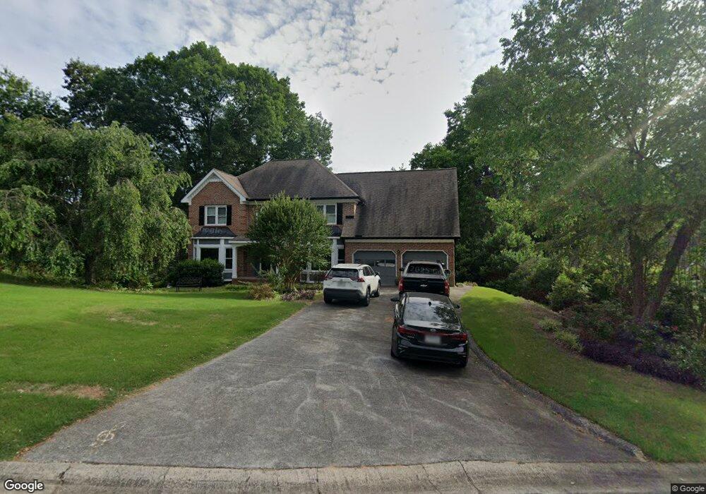
4542 Forest Peak Cir Unit 2 Marietta, GA 30066
Sandy Plains NeighborhoodEstimated Value: $589,854 - $773,000
4
Beds
3
Baths
3,145
Sq Ft
$207/Sq Ft
Est. Value
About This Home
This home is located at 4542 Forest Peak Cir Unit 2, Marietta, GA 30066 and is currently estimated at $650,964, approximately $206 per square foot. 4542 Forest Peak Cir Unit 2 is a home located in Cobb County with nearby schools including Davis Elementary School, Mabry Middle School, and Lassiter High School.
Ownership History
Date
Name
Owned For
Owner Type
Purchase Details
Closed on
Aug 24, 2005
Sold by
Lomax Donald and Lomax Janie
Bought by
Nye Kienneth E and Nye Jasmine
Current Estimated Value
Home Financials for this Owner
Home Financials are based on the most recent Mortgage that was taken out on this home.
Original Mortgage
$268,720
Outstanding Balance
$140,708
Interest Rate
5.61%
Mortgage Type
New Conventional
Estimated Equity
$510,256
Create a Home Valuation Report for This Property
The Home Valuation Report is an in-depth analysis detailing your home's value as well as a comparison with similar homes in the area
Home Values in the Area
Average Home Value in this Area
Purchase History
| Date | Buyer | Sale Price | Title Company |
|---|---|---|---|
| Nye Kienneth E | $335,900 | -- |
Source: Public Records
Mortgage History
| Date | Status | Borrower | Loan Amount |
|---|---|---|---|
| Open | Nye Kienneth E | $268,720 |
Source: Public Records
Tax History
| Year | Tax Paid | Tax Assessment Tax Assessment Total Assessment is a certain percentage of the fair market value that is determined by local assessors to be the total taxable value of land and additions on the property. | Land | Improvement |
|---|---|---|---|---|
| 2025 | $5,505 | $223,368 | $60,000 | $163,368 |
| 2024 | $4,888 | $194,752 | $40,000 | $154,752 |
| 2023 | $4,346 | $194,752 | $40,000 | $154,752 |
Source: Public Records
Map
Nearby Homes
- 4532 High Rock Terrace
- 4548 High Rock Terrace
- 4380 Wood Creek Dr
- 3465 Township Ridge Point
- 4563 Ashmore Cir NE
- 3333 Devaughn Dr NE
- 3745 Heddington Ln
- 3753 Heddington Ln NE
- 4397 Windsor Oaks Cir
- 704 Knotts Ct
- 4011 Chapel Grove Dr
- 4355 Summit View
- 3350 Brookhill Cir
- 3043 Sawyer Trace NE
- 3602 Pebble Hill Dr
- 912 Lucky Ln
- 424 Stovall Place
- 2855 Lamer Trace
- 4326 Halifax Terrace NE
- 522 Bray St
- 4540 Forest Peak Cir
- 3650 Lone Indian Trail
- 3648 Lone Indian Trail
- 4537 Forest Peak Cir
- 4538 Forest Peak Cir
- 4541 Forest Peak Cir Unit 2
- 4535 Forest Peak Cir
- 3646 Lone Indian Trail
- 4543 Forest Peak Cir
- 4539 Forest Peak Cir
- 4533 Forest Peak Cir Unit 2
- 3642 Lone Indian Ct Unit 2
- 4660 E Forest Peak
- 4546 Forest Peak Cir
- 4536 Forest Peak Cir
- 3644 Lone Indian Trail
- 3649 Lone Indian Trail
- 4547 Forest Peak Cir Unit 2
- 4515 Outlook Dr NE
- 3640 Lone Indian Ct
Your Personal Tour Guide
Ask me questions while you tour the home.