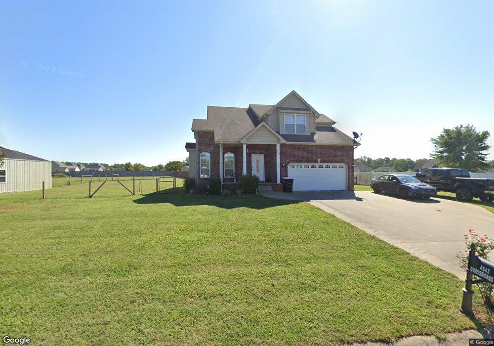
4543 Crossroads Dr Clarksville, TN 37040
Estimated Value: $386,642 - $480,000
--
Bed
3
Baths
1,812
Sq Ft
$236/Sq Ft
Est. Value
About This Home
This home is located at 4543 Crossroads Dr, Clarksville, TN 37040 and is currently estimated at $426,911, approximately $235 per square foot. 4543 Crossroads Dr is a home located in Montgomery County with nearby schools including Oakland Elementary School, Rossview Middle School, and Rossview High School.
Ownership History
Date
Name
Owned For
Owner Type
Purchase Details
Closed on
Nov 14, 2022
Sold by
Jones Megan N
Bought by
Jones Austin W
Current Estimated Value
Purchase Details
Closed on
Dec 1, 2014
Sold by
Best Joe P
Bought by
Jones Austin W and Jones Megan N
Home Financials for this Owner
Home Financials are based on the most recent Mortgage that was taken out on this home.
Original Mortgage
$184,891
Interest Rate
4.02%
Mortgage Type
VA
Purchase Details
Closed on
Aug 27, 2010
Sold by
Phillips Mack
Bought by
Best Joe P
Home Financials for this Owner
Home Financials are based on the most recent Mortgage that was taken out on this home.
Original Mortgage
$195,185
Interest Rate
4.6%
Create a Home Valuation Report for This Property
The Home Valuation Report is an in-depth analysis detailing your home's value as well as a comparison with similar homes in the area
Home Values in the Area
Average Home Value in this Area
Purchase History
| Date | Buyer | Sale Price | Title Company |
|---|---|---|---|
| Jones Austin W | -- | Massey Title | |
| Jones Austin W | $181,000 | -- | |
| Best Joe P | $188,950 | -- |
Source: Public Records
Mortgage History
| Date | Status | Borrower | Loan Amount |
|---|---|---|---|
| Previous Owner | Jones Austin W | $184,891 | |
| Previous Owner | Best Joe P | $195,185 |
Source: Public Records
Tax History Compared to Growth
Tax History
| Year | Tax Paid | Tax Assessment Tax Assessment Total Assessment is a certain percentage of the fair market value that is determined by local assessors to be the total taxable value of land and additions on the property. | Land | Improvement |
|---|---|---|---|---|
| 2024 | $2,228 | $106,100 | $0 | $0 |
| 2023 | $2,228 | $68,875 | $0 | $0 |
| 2022 | $2,059 | $68,875 | $0 | $0 |
| 2021 | $2,042 | $68,300 | $0 | $0 |
| 2020 | $1,815 | $60,700 | $0 | $0 |
| 2019 | $1,815 | $60,700 | $0 | $0 |
| 2018 | $1,619 | $48,275 | $0 | $0 |
| 2017 | $1,619 | $52,750 | $0 | $0 |
| 2016 | $1,619 | $52,750 | $0 | $0 |
| 2015 | $1,569 | $52,750 | $0 | $0 |
| 2014 | $1,519 | $51,050 | $0 | $0 |
| 2013 | $1,485 | $47,300 | $0 | $0 |
Source: Public Records
Map
Nearby Homes
- 4426 Ironhorse Way
- 4512 Crossroads Dr
- 4568 Grovewood Ct
- 1042 Taits Station Dr
- 4569 Grovewood Ct
- 4492 Ironhorse Way
- 0 Webb Rd Unit RTC3017511
- 801 Webb Rd
- 11
- 174 Aspen Pine Dr
- 718 Southern Pine Trail
- 161 Aspen Pine Dr
- 166 Aspen Pine Dr
- 157 Aspen Pine Dr
- 1717 Oliver Park Blvd
- 249 Harvest Moon Dr
- 217 Harvest Moon Dr
- 241 Harvest Moon Dr
- 47 Park at Oliver Farms
- 2108 Chivalry Way
- 4544 Crossroads Dr
- 4432 Ironhorse Way
- 1007 Taits Station Dr
- 4550 Crossroads Dr
- 122 Phillips Estates
- 1013 Taits Station Dr
- 4444 Ironhorse Way
- 4532 Crossroads Dr
- 1006 Taits Station Dr
- 1006 Taits Station Dr Unit 60
- 4531 Crossroads Dr
- 119 Phillips Estates
- 112 Phillips Estates
- 4420 Ironhorse Way
- 4420 Ironhorse Way
- 4592 Grovewood Ct
- 4447 Ironhorse Way
- 1019 Taits Station Dr
- 4450 Ironhorse Way
- 4435 Ironhorse Way