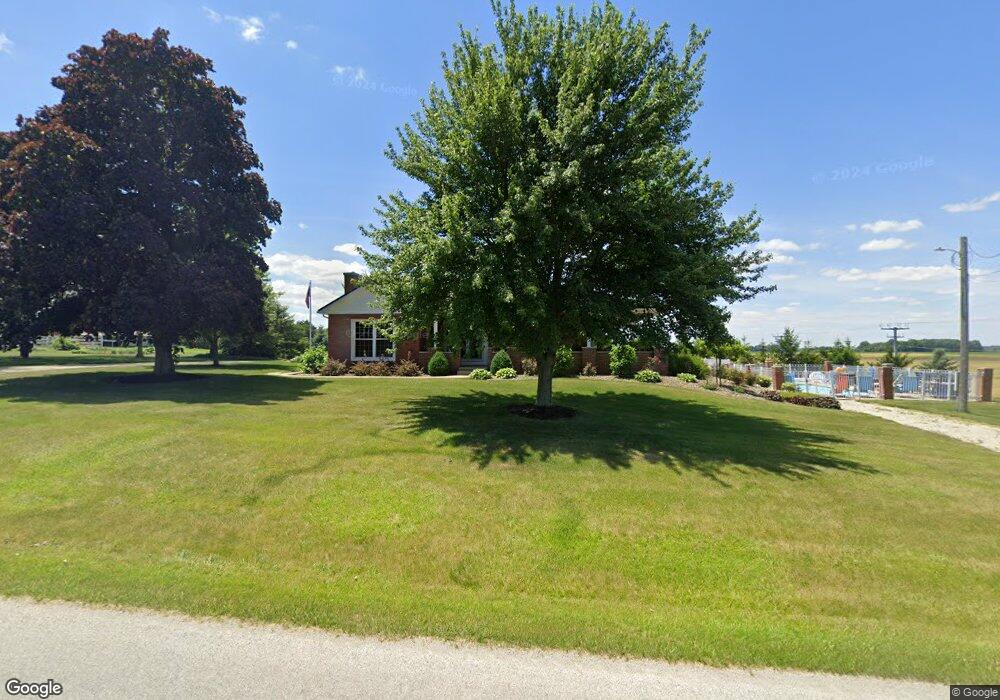
4545 Funk Rd Shelby, OH 44875
Estimated Value: $258,000 - $315,000
2
Beds
2
Baths
2,434
Sq Ft
$118/Sq Ft
Est. Value
About This Home
This home is located at 4545 Funk Rd, Shelby, OH 44875 and is currently estimated at $286,247, approximately $117 per square foot. 4545 Funk Rd is a home with nearby schools including St. Mary's School.
Ownership History
Date
Name
Owned For
Owner Type
Purchase Details
Closed on
Dec 17, 2021
Sold by
Schumacher Edward A and Schumacher Cheryl A
Bought by
Al And N Acres Inc
Current Estimated Value
Purchase Details
Closed on
Feb 9, 2009
Sold by
Schumacher Edward and Schumacher Cheryl
Bought by
Schumacher Edward A and Schumacher Cheryl A
Create a Home Valuation Report for This Property
The Home Valuation Report is an in-depth analysis detailing your home's value as well as a comparison with similar homes in the area
Home Values in the Area
Average Home Value in this Area
Purchase History
| Date | Buyer | Sale Price | Title Company |
|---|---|---|---|
| Al And N Acres Inc | -- | None Available | |
| Schumacher Edward A | -- | Attorney |
Source: Public Records
Tax History Compared to Growth
Tax History
| Year | Tax Paid | Tax Assessment Tax Assessment Total Assessment is a certain percentage of the fair market value that is determined by local assessors to be the total taxable value of land and additions on the property. | Land | Improvement |
|---|---|---|---|---|
| 2024 | $2,631 | $71,480 | $8,650 | $62,830 |
| 2023 | $2,631 | $71,480 | $8,650 | $62,830 |
| 2022 | $2,338 | $56,380 | $8,740 | $47,640 |
| 2021 | $2,395 | $56,380 | $8,740 | $47,640 |
| 2020 | $2,397 | $56,380 | $8,740 | $47,640 |
| 2019 | $2,545 | $54,920 | $7,280 | $47,640 |
| 2018 | $2,461 | $54,920 | $7,280 | $47,640 |
| 2017 | $2,442 | $54,920 | $7,280 | $47,640 |
| 2016 | $2,445 | $56,340 | $7,060 | $49,280 |
| 2015 | $2,445 | $56,340 | $7,060 | $49,280 |
| 2014 | $1,736 | $42,040 | $7,060 | $34,980 |
| 2012 | $856 | $40,870 | $5,890 | $34,980 |
Source: Public Records
Map
Nearby Homes
- 5070 State Route 39 W
- 5088 State Route 39 W
- 5096 State Route 39 W
- 4967 State Route 39 W
- 4642 Funk Rd
- 5106 State Route 39 W
- 5122 State Route 96 W
- 5138 State Route 39 W
- 5148 State Route 39 W
- 365 W Main St
- 362 W Main St
- 4378 Funk Rd
- 105 Taft St
- 354 W Main St
- 355 State Route 96 E
- 5214 State Route 39 W
- 350 W Main St
- 351 W Main St
- 4346 State Route 96 E
- 347 State Route 96 E