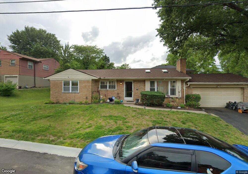
4545 Springmeadow Dr Cincinnati, OH 45229
Paddock Hills NeighborhoodEstimated Value: $274,740 - $333,000
3
Beds
3
Baths
1,348
Sq Ft
$221/Sq Ft
Est. Value
About This Home
This home is located at 4545 Springmeadow Dr, Cincinnati, OH 45229 and is currently estimated at $298,435, approximately $221 per square foot. 4545 Springmeadow Dr is a home located in Hamilton County with nearby schools including Bond Hill Academy Elementary School, Shroder High School, and Robert A. Taft Information Technology High School.
Ownership History
Date
Name
Owned For
Owner Type
Purchase Details
Closed on
Apr 30, 2002
Sold by
Howard Ernest B
Bought by
Moss Marie A
Current Estimated Value
Home Financials for this Owner
Home Financials are based on the most recent Mortgage that was taken out on this home.
Original Mortgage
$115,600
Interest Rate
7.16%
Purchase Details
Closed on
Jan 22, 1999
Sold by
Derkson Madeline A
Bought by
Federal National Mortgage Association
Create a Home Valuation Report for This Property
The Home Valuation Report is an in-depth analysis detailing your home's value as well as a comparison with similar homes in the area
Home Values in the Area
Average Home Value in this Area
Purchase History
| Date | Buyer | Sale Price | Title Company |
|---|---|---|---|
| Moss Marie A | $136,000 | Classic Title Agency Inc | |
| Federal National Mortgage Association | $63,000 | -- |
Source: Public Records
Mortgage History
| Date | Status | Borrower | Loan Amount |
|---|---|---|---|
| Previous Owner | Moss Marie A | $115,600 |
Source: Public Records
Tax History
| Year | Tax Paid | Tax Assessment Tax Assessment Total Assessment is a certain percentage of the fair market value that is determined by local assessors to be the total taxable value of land and additions on the property. | Land | Improvement |
|---|---|---|---|---|
| 2025 | $4,628 | $74,424 | $17,948 | $56,476 |
| 2024 | $4,489 | $74,424 | $17,948 | $56,476 |
| 2023 | $4,589 | $74,424 | $17,948 | $56,476 |
| 2022 | $3,557 | $51,562 | $13,335 | $38,227 |
| 2021 | $3,411 | $51,562 | $13,335 | $38,227 |
| 2020 | $3,510 | $51,562 | $13,335 | $38,227 |
| 2019 | $3,688 | $49,578 | $12,821 | $36,757 |
| 2018 | $3,693 | $49,578 | $12,821 | $36,757 |
| 2017 | $3,507 | $49,578 | $12,821 | $36,757 |
| 2016 | $3,670 | $51,174 | $13,717 | $37,457 |
| 2015 | $3,311 | $51,174 | $13,717 | $37,457 |
| 2014 | $3,335 | $51,174 | $13,717 | $37,457 |
| 2013 | $3,171 | $47,828 | $12,821 | $35,007 |
Source: Public Records
Map
Nearby Homes
- 4518 Barbara Place
- 4900 Chalet Dr
- 1114 Egan Ct
- 4905 Chalet Dr
- 4903 Chalet Dr
- 943 Tennessee Ave
- 1266 Avon Dr
- 710 E Ross Ave
- 1354 Avon Dr
- 5128 Imwalle Ave
- 5140 Imwalle Ave
- 421 Jefferson Ave
- 3 Baker Cir
- 3990 Beechwood Ave
- 406 Washington Ave
- 4635 Baker St
- 320 Mcclelland Ave
- 1226 Franklin Ave
- 1409 Yarmouth Ave
- 1100 Carolina Ave
- 1027 Clearbrook Dr
- 4540 Springmeadow Dr
- 4539 Springmeadow Dr
- 1041 Clearbrook Dr
- 1021 Clearbrook Dr
- 4536 Springmeadow Dr
- 4531 Springmeadow Dr
- 4505 Barbara Place
- 1047 Clearbrook Dr
- 1032 Clearbrook Dr
- 1020 Clearbrook Dr
- 1011 Clearbrook Dr
- 1026 Clearbrook Dr
- 4509 Barbara Place
- 4509 Barbara Place Unit 2
- 1045 Clearbrook Dr
- 1049 Clearbrook Dr
- 4525 Springmeadow Dr
- 4532 Springmeadow Dr
- 1014 Clearbrook Dr
Your Personal Tour Guide
Ask me questions while you tour the home.