4548 Saunders Rd Vinton, VA 24179
Estimated Value: $424,096 - $478,000
4
Beds
4
Baths
3,491
Sq Ft
$129/Sq Ft
Est. Value
About This Home
This home is located at 4548 Saunders Rd, Vinton, VA 24179 and is currently estimated at $452,024, approximately $129 per square foot. 4548 Saunders Rd is a home located in Bedford County with nearby schools including Stewartsville Elementary School, Staunton River Middle School, and Staunton River High School.
Ownership History
Date
Name
Owned For
Owner Type
Purchase Details
Closed on
Jul 26, 2017
Sold by
Thomas Roger L and Thomas Joyce N
Bought by
Thomas Aaron K
Current Estimated Value
Home Financials for this Owner
Home Financials are based on the most recent Mortgage that was taken out on this home.
Original Mortgage
$195,000
Outstanding Balance
$162,492
Interest Rate
3.91%
Mortgage Type
New Conventional
Estimated Equity
$289,532
Purchase Details
Closed on
Jun 8, 2006
Sold by
Sellers Raymond P and Sellers Janet C
Bought by
Thomas Danny R
Create a Home Valuation Report for This Property
The Home Valuation Report is an in-depth analysis detailing your home's value as well as a comparison with similar homes in the area
Purchase History
| Date | Buyer | Sale Price | Title Company |
|---|---|---|---|
| Thomas Aaron K | $250,000 | Reliance Title & Stlmnt Llc | |
| Thomas Danny R | -- | None Available |
Source: Public Records
Mortgage History
| Date | Status | Borrower | Loan Amount |
|---|---|---|---|
| Open | Thomas Aaron K | $195,000 |
Source: Public Records
Tax History
| Year | Tax Paid | Tax Assessment Tax Assessment Total Assessment is a certain percentage of the fair market value that is determined by local assessors to be the total taxable value of land and additions on the property. | Land | Improvement |
|---|---|---|---|---|
| 2025 | $1,285 | $313,300 | $53,000 | $260,300 |
| 2024 | $1,285 | $313,300 | $53,000 | $260,300 |
| 2023 | $1,285 | $156,650 | $0 | $0 |
| 2022 | $1,078 | $107,750 | $0 | $0 |
| 2021 | $1,078 | $215,500 | $38,000 | $177,500 |
| 2020 | $1,078 | $215,500 | $38,000 | $177,500 |
| 2019 | $1,078 | $215,500 | $38,000 | $177,500 |
| 2018 | $1,072 | $206,100 | $37,000 | $169,100 |
| 2017 | $1,072 | $206,100 | $37,000 | $169,100 |
| 2016 | $1,072 | $206,100 | $37,000 | $169,100 |
| 2015 | $1,072 | $206,100 | $37,000 | $169,100 |
| 2014 | $1,048 | $201,600 | $37,000 | $164,600 |
Source: Public Records
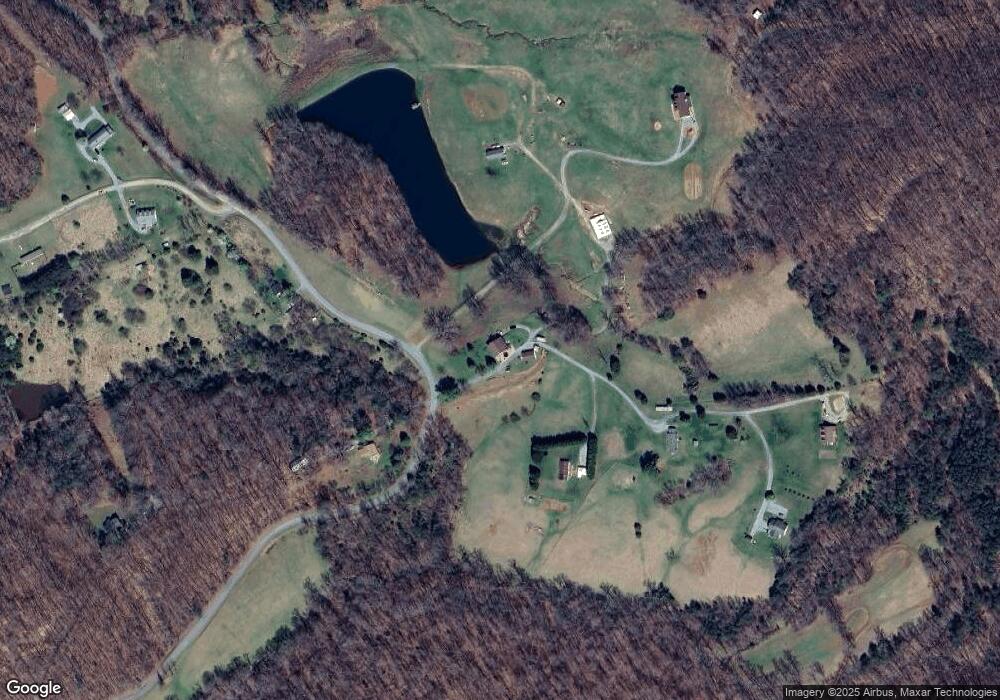
Map
Nearby Homes
- 1075 Breezy Hill Rd
- 0 Nemmo Rd
- 1160 Sandy Level Rd
- 2068 Pilot Mountain Rd
- LOT 5 Pilot Mountain Rd
- 4235 Jordantown Rd
- 2555 Morgans Mill Rd
- 1072 Garner Rd
- 1168 Wilford Hollow Rd
- 5093 Jordantown Rd
- 1043 Incline Dr
- 1572 Ivy Branch Dr
- 1850 Emmaus Church Rd
- 5980 Jordantown Rd
- 715 Mountain Meadow Dr
- 708 Mountain Meadow Dr
- 0 Goodview Rd Unit 917646
- 1045 Emerald Dr
- 0 Stewartsville Rd
- 1214 Hawks Nest Ln
- 1107 Green Mountain Rd
- 4555 Saunders Rd
- 1159 Green Mountain Rd
- 4445 Saunders Rd
- 4520 Saunders Rd
- 1205 Green Mountain Rd
- 1257 Green Mountain Rd
- 1072 Breezy Hill Rd
- 4495 Saunders Rd
- 0 Breezy Hill Rd
- 1178 Breezy Hill Rd
- 1210 Breezy Hill Rd
- 1236 Breezy Hill Rd
- 1284 Breezy Hill Rd
- 1344 Breezy Hill Rd
- 4153 Saunders Rd
- 4097 Saunders Rd
- 3962 Saunders Rd
- 1357 Breezy Hill Rd
- 5044 Saunders Rd
Your Personal Tour Guide
Ask me questions while you tour the home.