455 Back Winterport Rd Hampden, ME 04444
Estimated Value: $306,000 - $363,000
2
Beds
1
Bath
1,176
Sq Ft
$286/Sq Ft
Est. Value
About This Home
This home is located at 455 Back Winterport Rd, Hampden, ME 04444 and is currently estimated at $336,011, approximately $285 per square foot. 455 Back Winterport Rd is a home.
Ownership History
Date
Name
Owned For
Owner Type
Purchase Details
Closed on
Sep 30, 2021
Sold by
Atwood Ernest L Est
Bought by
Hunter Frederick and Hunter Mary A
Current Estimated Value
Home Financials for this Owner
Home Financials are based on the most recent Mortgage that was taken out on this home.
Original Mortgage
$145,000
Outstanding Balance
$132,226
Interest Rate
2.8%
Mortgage Type
Purchase Money Mortgage
Estimated Equity
$203,785
Create a Home Valuation Report for This Property
The Home Valuation Report is an in-depth analysis detailing your home's value as well as a comparison with similar homes in the area
Home Values in the Area
Average Home Value in this Area
Purchase History
| Date | Buyer | Sale Price | Title Company |
|---|---|---|---|
| Hunter Frederick | -- | None Available |
Source: Public Records
Mortgage History
| Date | Status | Borrower | Loan Amount |
|---|---|---|---|
| Open | Hunter Frederick | $145,000 |
Source: Public Records
Tax History Compared to Growth
Tax History
| Year | Tax Paid | Tax Assessment Tax Assessment Total Assessment is a certain percentage of the fair market value that is determined by local assessors to be the total taxable value of land and additions on the property. | Land | Improvement |
|---|---|---|---|---|
| 2024 | $3,883 | $248,100 | $65,700 | $182,400 |
| 2023 | $3,915 | $203,400 | $53,800 | $149,600 |
| 2022 | $3,492 | $168,700 | $44,700 | $124,000 |
| 2021 | $3,492 | $168,700 | $44,700 | $124,000 |
| 2020 | $3,441 | $168,700 | $44,700 | $124,000 |
| 2019 | $3,350 | $164,200 | $43,400 | $120,800 |
| 2018 | $3,218 | $164,200 | $43,400 | $120,800 |
| 2017 | $3,021 | $164,200 | $43,400 | $120,800 |
| 2016 | $2,985 | $164,000 | $43,000 | $121,000 |
| 2015 | $2,870 | $164,000 | $43,000 | $121,000 |
| 2014 | $2,874 | $164,200 | $43,400 | $120,800 |
| 2013 | $2,734 | $164,200 | $43,400 | $120,800 |
Source: Public Records
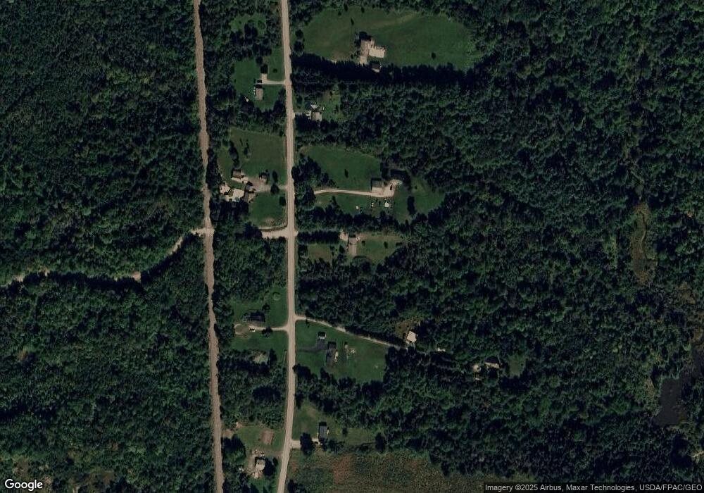
Map
Nearby Homes
- 8 Clark Cir
- 12 Moyse Rd
- 6 Twining Rd
- 66 Foster Ave
- 420 Main Rd S
- 29 Foster Ave
- Lot 56 Old County Rd
- 342 Main Rd S
- 00 Meadow Rd
- 5 Vero's Way
- 415 Monroe Rd
- 35 Highland Ridge Dr Unit 28
- Map1Lot41 Partridge Rd
- 22 Meadow Rd
- 48 & 50 Highland Ridge Dr
- 22 & 24 Highland Ridge Dr
- 55 & 57 Highland Ridge Dr
- 51 & 53 Highland Ridge Dr
- 16 & 18 Highland Ridge Dr
- 23 Ichabod Ln
- 447 Back Winterport Rd
- 477 Back Winterport Rd
- 450 Back Winterport Rd
- 470 Back Winterport Rd
- 437 Back Winterport Rd
- 469 Back Winterport Rd
- 487 Back Winterport Rd
- 419 Back Winterport Rd
- 492 Back Winterport Rd
- 510 Back Winterport Rd
- 395 Back Winterport Rd
- 515 Back Winterport Rd
- 400 Back Winterport Rd
- 387 Back Winterport Rd
- 530 Back Winterport Rd
- 379 Back Winterport Rd
- 218 Baker Rd
- 364 Back Winterport Rd
- 334 Baker
- 200 Baker Rd