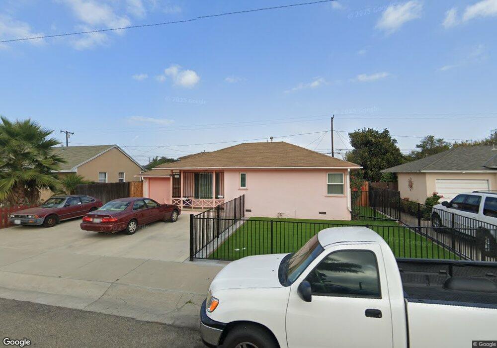
455 E Laurel St Oxnard, CA 93033
Cal-Gisler NeighborhoodEstimated Value: $513,646 - $841,000
2
Beds
1
Bath
802
Sq Ft
$815/Sq Ft
Est. Value
About This Home
This home is located at 455 E Laurel St, Oxnard, CA 93033 and is currently estimated at $653,662, approximately $815 per square foot. 455 E Laurel St is a home located in Ventura County with nearby schools including Harrington Elementary School, R.J. Frank Academy of Marine Science & Engineering, and Channel Islands High School.
Ownership History
Date
Name
Owned For
Owner Type
Purchase Details
Closed on
Apr 14, 2011
Sold by
Fierro Ricardo J and Fierro Leonida M
Bought by
Fierro Ricardo Julian and Fierro Leonida Magsino
Current Estimated Value
Create a Home Valuation Report for This Property
The Home Valuation Report is an in-depth analysis detailing your home's value as well as a comparison with similar homes in the area
Home Values in the Area
Average Home Value in this Area
Purchase History
| Date | Buyer | Sale Price | Title Company |
|---|---|---|---|
| Fierro Ricardo Julian | -- | None Available |
Source: Public Records
Tax History
| Year | Tax Paid | Tax Assessment Tax Assessment Total Assessment is a certain percentage of the fair market value that is determined by local assessors to be the total taxable value of land and additions on the property. | Land | Improvement |
|---|---|---|---|---|
| 2025 | $2,524 | $212,394 | $84,956 | $127,438 |
| 2024 | $2,524 | $208,230 | $83,290 | $124,940 |
| 2023 | $2,431 | $204,148 | $81,657 | $122,491 |
| 2022 | $2,357 | $200,146 | $80,056 | $120,090 |
| 2021 | $2,337 | $196,222 | $78,486 | $117,736 |
| 2020 | $2,379 | $194,212 | $77,682 | $116,530 |
| 2019 | $2,311 | $190,405 | $76,159 | $114,246 |
| 2018 | $2,277 | $186,672 | $74,666 | $112,006 |
| 2017 | $2,161 | $183,012 | $73,202 | $109,810 |
| 2016 | $2,085 | $179,424 | $71,767 | $107,657 |
| 2015 | $2,105 | $176,731 | $70,690 | $106,041 |
| 2014 | $2,081 | $173,271 | $69,306 | $103,965 |
Source: Public Records
Map
Nearby Homes
- 225 W Iris St
- 3151 Fournier St
- 3130 Paula St
- 2024 S J St
- 3631 La Costa Place
- 860 Morro Way
- 1239 S C St
- 3638 S B St
- 360 Ibsen Place Unit 129
- 140 Gaviota Place Unit 157
- 1127 S C St
- 1928 San Benito St
- 4160 Petit Dr Unit 39
- 320 Columbia Place Unit 46
- 280 Columbia Place Unit 48
- 4029 S B St
- 2151 E Wooley Rd
- 775 Thayer Ln
- 1140 Teakwood St
- 4200 S A St
- 445 E Laurel St
- 463 E Laurel St
- 473 E Laurel St
- 435 E Laurel St
- 454 E Kamala St
- 444 E Kamala St
- 462 E Kamala St
- 454 E Laurel St
- 462 E Laurel St
- 444 E Laurel St
- 472 E Kamala St
- 434 E Kamala St
- 425 E Laurel St
- 472 E Laurel St
- 434 E Laurel St
- 424 E Kamala St
- 505 E Laurel St
- 415 E Laurel St
- 424 E Laurel St
- 504 E Kamala St
Your Personal Tour Guide
Ask me questions while you tour the home.