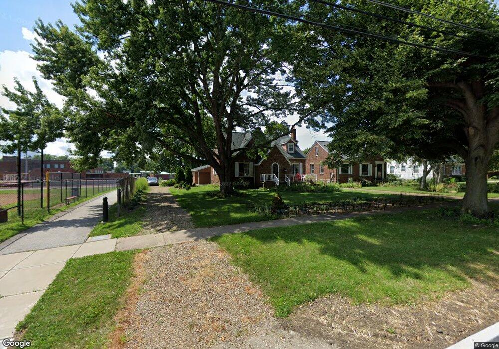
4550 W 210th St Cleveland, OH 44126
Estimated Value: $265,460 - $303,000
3
Beds
1
Bath
1,430
Sq Ft
$199/Sq Ft
Est. Value
About This Home
This home is located at 4550 W 210th St, Cleveland, OH 44126 and is currently estimated at $284,365, approximately $198 per square foot. 4550 W 210th St is a home located in Cuyahoga County with nearby schools including Gilles-Sweet Elementary School, Lewis F Mayer Middle School, and Fairview High School.
Ownership History
Date
Name
Owned For
Owner Type
Purchase Details
Closed on
Aug 7, 1995
Sold by
Martin Barbara
Bought by
Laessig Thomas E and Laessig Nancy E
Current Estimated Value
Home Financials for this Owner
Home Financials are based on the most recent Mortgage that was taken out on this home.
Original Mortgage
$110,000
Interest Rate
7.56%
Mortgage Type
New Conventional
Purchase Details
Closed on
Jun 5, 1991
Sold by
Martin Barbara
Bought by
Martin Barbara
Purchase Details
Closed on
Feb 4, 1982
Sold by
Tabar John
Bought by
Tabar John and Tabar Anton
Purchase Details
Closed on
Jan 1, 1975
Bought by
Tabar John
Create a Home Valuation Report for This Property
The Home Valuation Report is an in-depth analysis detailing your home's value as well as a comparison with similar homes in the area
Home Values in the Area
Average Home Value in this Area
Purchase History
| Date | Buyer | Sale Price | Title Company |
|---|---|---|---|
| Laessig Thomas E | $88,000 | -- | |
| Martin Barbara | -- | -- | |
| Martin Barbara | -- | -- | |
| Culver Rosemary | -- | -- | |
| Thomas Theresa | -- | -- | |
| Tabar Anton | $85,000 | -- | |
| Tabar John | -- | -- | |
| Tabar John | -- | -- |
Source: Public Records
Mortgage History
| Date | Status | Borrower | Loan Amount |
|---|---|---|---|
| Closed | Laessig Thomas E | $110,000 |
Source: Public Records
Tax History Compared to Growth
Tax History
| Year | Tax Paid | Tax Assessment Tax Assessment Total Assessment is a certain percentage of the fair market value that is determined by local assessors to be the total taxable value of land and additions on the property. | Land | Improvement |
|---|---|---|---|---|
| 2024 | $4,666 | $77,000 | $21,980 | $55,020 |
| 2023 | $4,722 | $67,550 | $17,220 | $50,330 |
| 2022 | $4,637 | $67,550 | $17,220 | $50,330 |
| 2021 | $4,731 | $67,550 | $17,220 | $50,330 |
| 2020 | $4,980 | $54,500 | $13,900 | $40,600 |
| 2019 | $4,427 | $155,700 | $39,700 | $116,000 |
| 2018 | $4,435 | $54,500 | $13,900 | $40,600 |
| 2017 | $4,410 | $50,200 | $13,130 | $37,070 |
| 2016 | $4,380 | $50,200 | $13,130 | $37,070 |
| 2015 | $4,135 | $50,200 | $13,130 | $37,070 |
| 2014 | $4,135 | $47,820 | $12,500 | $35,320 |
Source: Public Records
Map
Nearby Homes
- 4291 W 215th St
- 4243 W 212th St
- 21503 Hillsdale Ave
- 21143 Westwood Rd
- 21237 Westwood Rd
- 21236 Northwood Ave
- 4140 W 220th St
- 4235 W 222nd St
- 4036 W 219th St
- 20778 Woodstock Ave
- 21888 Eaton Rd
- 20187 Grannis Rd
- 4654 W 221st St
- 4627 W 223rd St
- 20688 Belvidere Ave
- 20930 Mastick Rd
- 21877 Seabury Ave
- 3826 W 210th St
- 3733 River Ln
- 4267 W 226th St
- 4536 W 210th St
- 4530 W 210th St
- 4526 W 210th St
- 4516 W 210th St
- 4551 W 210th St
- 4559 W 210th St
- 4543 W 210th St
- 4506 W 210th St
- 4561 W 210th St
- 4527 W 210th St
- 4665 Angela Dr
- 4565 W 210th St
- 4519 W 210th St
- 4500 W 210th St
- 4567 W 210th St
- 4615 Angela Dr
- 4511 W 210th St
- 4503 W 210th St
- 4486 W 210th St
- 4569 W 210th St