4551 163rd St South Haven, MN 55382
Estimated Value: $478,000 - $708,536
1
Bed
2
Baths
1,312
Sq Ft
$476/Sq Ft
Est. Value
About This Home
This home is located at 4551 163rd St, South Haven, MN 55382 and is currently estimated at $624,845, approximately $476 per square foot. 4551 163rd St is a home located in Stearns County with nearby schools including Kimball Elementary School and Kimball High School.
Ownership History
Date
Name
Owned For
Owner Type
Purchase Details
Closed on
Oct 29, 2021
Sold by
Schmitz James James
Bought by
Garding Andy Andy
Current Estimated Value
Home Financials for this Owner
Home Financials are based on the most recent Mortgage that was taken out on this home.
Original Mortgage
$179,000
Outstanding Balance
$164,362
Interest Rate
3.14%
Estimated Equity
$460,483
Purchase Details
Closed on
Jan 24, 2002
Sold by
Wurm-Paumen Properties
Bought by
Garding Andy
Create a Home Valuation Report for This Property
The Home Valuation Report is an in-depth analysis detailing your home's value as well as a comparison with similar homes in the area
Home Values in the Area
Average Home Value in this Area
Purchase History
| Date | Buyer | Sale Price | Title Company |
|---|---|---|---|
| Garding Andy Andy | $180,000 | -- | |
| Garding Andy | $88,000 | -- |
Source: Public Records
Mortgage History
| Date | Status | Borrower | Loan Amount |
|---|---|---|---|
| Open | Garding Andy Andy | $179,000 | |
| Closed | Garding Andy Andy | -- |
Source: Public Records
Tax History Compared to Growth
Tax History
| Year | Tax Paid | Tax Assessment Tax Assessment Total Assessment is a certain percentage of the fair market value that is determined by local assessors to be the total taxable value of land and additions on the property. | Land | Improvement |
|---|---|---|---|---|
| 2025 | $3,806 | $624,400 | $196,400 | $428,000 |
| 2024 | $3,802 | $643,300 | $191,300 | $452,000 |
| 2023 | $3,802 | $631,800 | $181,100 | $450,700 |
| 2022 | $3,416 | $491,300 | $141,600 | $349,700 |
| 2021 | $3,364 | $491,300 | $141,600 | $349,700 |
| 2020 | $3,214 | $465,100 | $150,100 | $315,000 |
| 2019 | $3,052 | $443,700 | $150,400 | $293,300 |
| 2018 | $2,882 | $403,500 | $146,300 | $257,200 |
| 2017 | $2,812 | $390,300 | $151,900 | $238,400 |
| 2016 | $2,630 | $0 | $0 | $0 |
| 2015 | $2,476 | $0 | $0 | $0 |
| 2014 | -- | $0 | $0 | $0 |
Source: Public Records
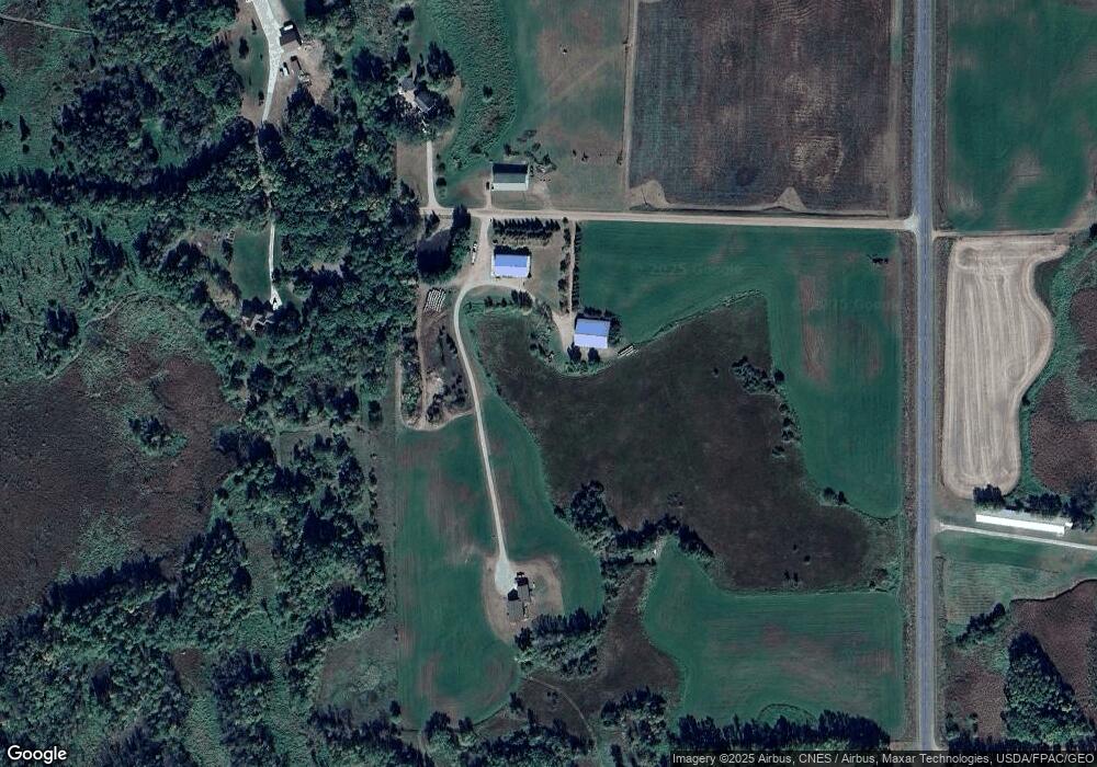
Map
Nearby Homes
- South Tract A TBD County Road 45
- North Tract B TBD County Road 45
- 17910 27th Ave
- 14XXX County Road 44
- 3021 181st St
- XXXXXXX (Parcel C) 170th St
- XXXXX (Parcel B) 170th St
- XXXX (Parcel A) 170th St
- 17963 27th Ave
- 2184 170th St
- XXX Deerwood Rd
- 16307 78th Ave
- 10848 Porter Ave NW
- 16698 109th St NW
- 13496 Campfire Cir
- 2060 Clearwater Forest Dr
- 10368 Oliver Ave NW
- 10399 Reardon Ave NW
- 13943 102nd St NW
- 13934 101st St NW
- 4554 163rd St
- 4623 163rd St
- XXX 163rd St
- 16527 County Road 7
- 4255 160th St
- 16108 County Road 7
- 15995 County Road 7
- 16554 County Road 7
- 4XXX 163rd St
- 15827 County Road 7
- 16661 County Road 7
- 15642 County Road 7
- 16795 County Road 7
- 15832 County Road 7
- 4325 169th St
- 4362 169th St
- 16900 County 7 Rd
- 4824 155th St
- 4962 155th St
- 4938 155th St