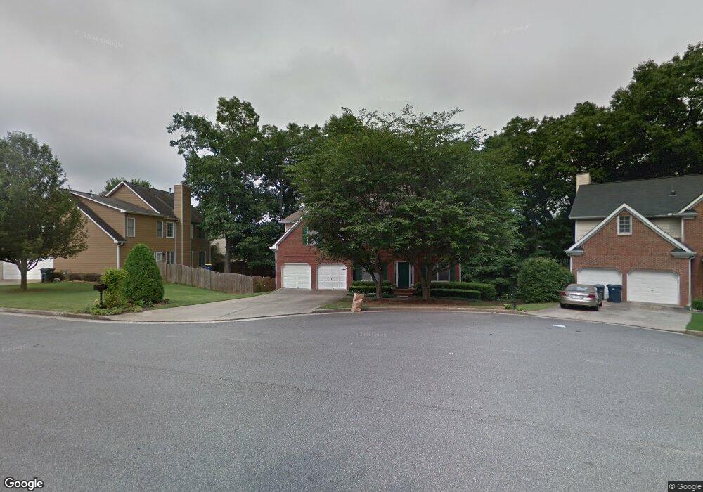
4553 Alaspair Ln Unit 7 Acworth, GA 30101
Estimated Value: $421,000 - $481,000
5
Beds
4
Baths
2,668
Sq Ft
$170/Sq Ft
Est. Value
About This Home
This home is located at 4553 Alaspair Ln Unit 7, Acworth, GA 30101 and is currently estimated at $453,134, approximately $169 per square foot. 4553 Alaspair Ln Unit 7 is a home located in Cobb County with nearby schools including Baker Elementary School, Barber Middle School, and North Cobb High School.
Ownership History
Date
Name
Owned For
Owner Type
Purchase Details
Closed on
Nov 18, 2021
Sold by
Elizabeth Hinley Ada and Hinley Phillip Christopher
Bought by
Hinley Family Trust and The Hinley Family Trust
Current Estimated Value
Purchase Details
Closed on
May 12, 2016
Sold by
Breznik Clay W
Bought by
Cartus Financial Corp
Home Financials for this Owner
Home Financials are based on the most recent Mortgage that was taken out on this home.
Original Mortgage
$196,000
Interest Rate
3.58%
Mortgage Type
New Conventional
Purchase Details
Closed on
Feb 18, 1999
Sold by
Jonathan E Edwards Homes Inc
Bought by
Breznik Clay W and Breznik Stacy P
Home Financials for this Owner
Home Financials are based on the most recent Mortgage that was taken out on this home.
Original Mortgage
$175,400
Interest Rate
6.79%
Mortgage Type
New Conventional
Create a Home Valuation Report for This Property
The Home Valuation Report is an in-depth analysis detailing your home's value as well as a comparison with similar homes in the area
Home Values in the Area
Average Home Value in this Area
Purchase History
| Date | Buyer | Sale Price | Title Company |
|---|---|---|---|
| Hinley Family Trust | -- | Crane Elder Law Firm Llc | |
| Cartus Financial Corp | $245,000 | -- | |
| Hinley Ada Elizabeth | $245,000 | -- | |
| Breznik Clay W | $184,700 | -- |
Source: Public Records
Mortgage History
| Date | Status | Borrower | Loan Amount |
|---|---|---|---|
| Previous Owner | Hinley Ada Elizabeth | $196,000 | |
| Previous Owner | Breznik Clay W | $175,400 |
Source: Public Records
Tax History Compared to Growth
Tax History
| Year | Tax Paid | Tax Assessment Tax Assessment Total Assessment is a certain percentage of the fair market value that is determined by local assessors to be the total taxable value of land and additions on the property. | Land | Improvement |
|---|---|---|---|---|
| 2025 | $1,137 | $165,724 | $32,000 | $133,724 |
| 2024 | $1,187 | $181,472 | $22,000 | $159,472 |
| 2023 | $981 | $181,472 | $22,000 | $159,472 |
| 2022 | $1,101 | $152,640 | $22,000 | $130,640 |
| 2021 | $1,026 | $123,572 | $22,000 | $101,572 |
| 2020 | $1,007 | $117,212 | $26,000 | $91,212 |
| 2019 | $977 | $107,260 | $26,000 | $81,260 |
| 2018 | $977 | $107,260 | $26,000 | $81,260 |
| 2017 | $796 | $87,628 | $19,200 | $68,428 |
| 2016 | $2,028 | $87,628 | $19,200 | $68,428 |
| 2015 | $1,754 | $73,516 | $19,200 | $54,316 |
| 2014 | $1,766 | $73,516 | $0 | $0 |
Source: Public Records
Map
Nearby Homes
- 4344 Thorngate Ln
- 4336 Thorngate Ln
- 2553 Willow Grove Rd NW Unit 13
- 4321 Clairesbrook Ln
- 2540 Willow Grove Rd NW Unit 15
- 2773 Northgate Way NW Unit 1
- 4210 Steeplehill Dr NW
- 4198 Gramercy Main NW
- 2482 Insdale Trace NW
- 4317 Chesapeake Trace NW
- 4662 Webster Way NW
- 2698 Claredon Trace NW
- 2521 Eden Ridge Ln Unit 7
- 2606 Webster Dr NW
- 4591 Grenadine Cir
- 2264 Serenity Dr NW
- 2170 Sugar Maple Cove NW
- 4561 Grenadine Cir
- 4553 Alaspair Ln Unit 1
- 4555 Alaspair Ln Unit 1
- 2604 Jacobean Rd
- 4452 Lockett Trace
- 0 Alaspair Ln Unit 8166620
- 4454 Lockett Trace
- 4454 Lockett Trace Unit 1
- 4450 Lockett Trace
- 4557 Alaspair Ln
- 4456 Lockett Trace
- 4556 Alaspair Ln
- 4552 Alaspair Ln
- 4550 Alaspair Ln
- 2521 Thorngate Dr
- 2521 Thorngate Dr Unit 2521
- 2519 Thorngate Dr
- 2519 Thorngate Dr
- 2525 Thorngate Dr
- 2523 Thorngate Dr
- 2523 Thorngate Dr Unit 2523