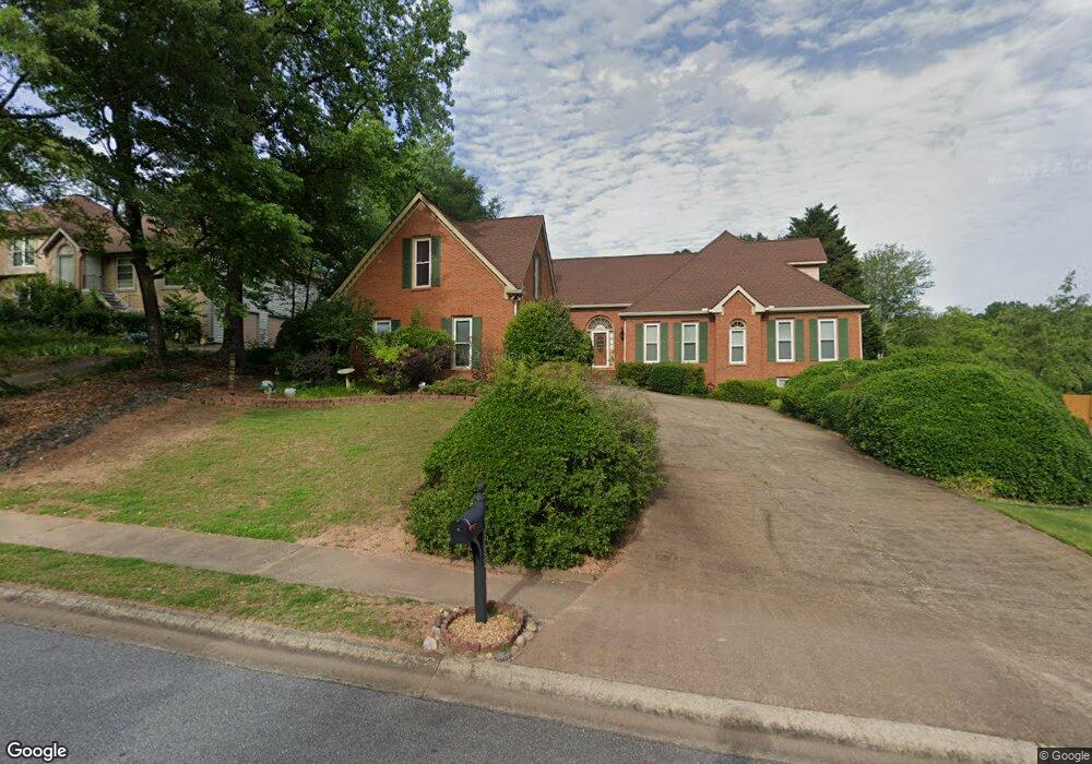
4555 Forest Peak Cir Marietta, GA 30066
Sandy Plains NeighborhoodEstimated Value: $712,000 - $879,000
5
Beds
5
Baths
3,443
Sq Ft
$236/Sq Ft
Est. Value
About This Home
This home is located at 4555 Forest Peak Cir, Marietta, GA 30066 and is currently estimated at $812,830, approximately $236 per square foot. 4555 Forest Peak Cir is a home located in Cobb County with nearby schools including Davis Elementary School, Mabry Middle School, and Lassiter High School.
Ownership History
Date
Name
Owned For
Owner Type
Purchase Details
Closed on
Apr 29, 2011
Sold by
Rumenap Edward W and Rumenap Cathleen D
Bought by
Mathis Elizabeth K Trust
Current Estimated Value
Create a Home Valuation Report for This Property
The Home Valuation Report is an in-depth analysis detailing your home's value as well as a comparison with similar homes in the area
Home Values in the Area
Average Home Value in this Area
Purchase History
| Date | Buyer | Sale Price | Title Company |
|---|---|---|---|
| Mathis Elizabeth K Trust | $337,500 | -- |
Source: Public Records
Tax History Compared to Growth
Tax History
| Year | Tax Paid | Tax Assessment Tax Assessment Total Assessment is a certain percentage of the fair market value that is determined by local assessors to be the total taxable value of land and additions on the property. | Land | Improvement |
|---|---|---|---|---|
| 2025 | $2,201 | $261,028 | $60,000 | $201,028 |
| 2024 | $2,206 | $261,028 | $60,000 | $201,028 |
| 2023 | $2,000 | $261,028 | $60,000 | $201,028 |
| 2022 | $2,036 | $203,988 | $40,000 | $163,988 |
| 2021 | $5,418 | $178,516 | $40,000 | $138,516 |
| 2020 | $5,418 | $178,516 | $40,000 | $138,516 |
| 2019 | $5,418 | $178,516 | $40,000 | $138,516 |
| 2018 | $5,010 | $165,076 | $36,800 | $128,276 |
| 2017 | $4,746 | $165,076 | $36,800 | $128,276 |
| 2016 | $4,065 | $141,376 | $31,600 | $109,776 |
| 2015 | $4,165 | $141,376 | $31,600 | $109,776 |
| 2014 | $4,200 | $141,376 | $0 | $0 |
Source: Public Records
Map
Nearby Homes
- 4243 N Mountain Rd NE
- 4734 Outlook Way NE
- 4380 Wood Creek Dr
- 4219 N Mountain Rd NE
- 4302 Highborne Dr NE Unit 3
- 3333 Devaughn Dr NE
- 4563 Ashmore Cir NE
- 4397 Windsor Oaks Cir
- 3870 Sweat Creek Run
- 3350 Brookhill Cir
- 3465 Township Ridge Point
- 4019 Wesley Chapel Rd
- 3043 Sawyer Trace NE
- 130 Cherecobb Dr
- 4589 Wigley Estates Rd
- 4032 Ashmont Ct
- 3480 Pebble Hill Dr
- 3773 Rivaridge Dr
- 4553 Forest Peak Cir
- 4557 Forest Peak Cir
- 3635 Mountain Rd NE
- 4551 Forest Peak Cir Unit 2
- 4554 Forest Peak Cir
- 4552 Forest Peak Cir
- 4556 Forest Peak Cir
- 4269 N Mountain Rd NE Unit 1
- 4501 Outlook Dr NE
- 4550 Forest Peak Cir
- 4483 Leesburg Rd
- 4503 Outlook Dr NE
- 4549 Forest Peak Cir
- 4266 N Mountain Rd NE
- 3541 Lone Indian Way
- 4505 Outlook Dr NE
- 4548 Forest Peak Cir
- 4548 Forest Peak Cir Unit 133
- 3540 Lone Indian Way
- 4507 Outlook Dr NE Unit 2