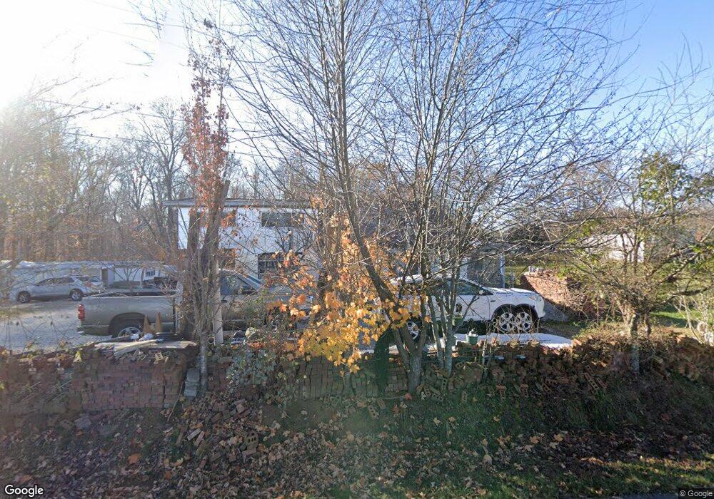
4555 Forrest Hill Rd Cookeville, TN 38506
Estimated Value: $104,000 - $236,000
--
Bed
1
Bath
864
Sq Ft
$203/Sq Ft
Est. Value
About This Home
This home is located at 4555 Forrest Hill Rd, Cookeville, TN 38506 and is currently estimated at $175,156, approximately $202 per square foot. 4555 Forrest Hill Rd is a home located in Putnam County with nearby schools including Algood Middle School, Algood Elementary School, and Cookeville High School.
Ownership History
Date
Name
Owned For
Owner Type
Purchase Details
Closed on
Apr 28, 2009
Sold by
Boles Angelia R
Bought by
Mejia Jorge Alberto
Current Estimated Value
Purchase Details
Closed on
Jan 20, 2006
Bought by
Mejia Jorge Alberto
Purchase Details
Closed on
Jun 22, 2000
Sold by
Willard Roberts
Bought by
Boles Angelia R
Purchase Details
Closed on
May 24, 2000
Sold by
Barbra Hale and Barbra Candie
Bought by
Seth Hudson
Purchase Details
Closed on
Aug 21, 1991
Bought by
Roberts Willard O
Create a Home Valuation Report for This Property
The Home Valuation Report is an in-depth analysis detailing your home's value as well as a comparison with similar homes in the area
Home Values in the Area
Average Home Value in this Area
Purchase History
| Date | Buyer | Sale Price | Title Company |
|---|---|---|---|
| Mejia Jorge Alberto | $34,000 | -- | |
| Mejia Jorge Alberto | $34,000 | -- | |
| Boles Angelia R | $35,000 | -- | |
| Seth Hudson | $9,000 | -- | |
| Roberts Willard O | $2,500 | -- |
Source: Public Records
Tax History Compared to Growth
Tax History
| Year | Tax Paid | Tax Assessment Tax Assessment Total Assessment is a certain percentage of the fair market value that is determined by local assessors to be the total taxable value of land and additions on the property. | Land | Improvement |
|---|---|---|---|---|
| 2024 | $396 | $14,900 | $3,675 | $11,225 |
| 2023 | $396 | $14,900 | $3,675 | $11,225 |
| 2022 | $368 | $14,900 | $3,675 | $11,225 |
| 2021 | $399 | $14,900 | $3,675 | $11,225 |
| 2020 | $359 | $16,125 | $3,675 | $12,450 |
| 2019 | $359 | $12,275 | $3,825 | $8,450 |
| 2018 | $335 | $12,275 | $3,825 | $8,450 |
| 2017 | $335 | $12,275 | $3,825 | $8,450 |
| 2016 | $335 | $12,275 | $3,825 | $8,450 |
| 2015 | $344 | $12,275 | $3,825 | $8,450 |
| 2014 | $302 | $10,770 | $0 | $0 |
Source: Public Records
Map
Nearby Homes
- 30 AC W Paron Rd
- 3930 Olyvia Ct
- 3485 Officers Chapel Rd
- 4201 Mirandy Rd
- 245 Crooked Creek Dr
- 000 Mirandy Rd
- 3006 Deerhaven Dr N
- 1916 Bear Creek Point
- 469 E Main St
- 185 Mirandy Rd
- 2035 Bear Creek Point
- 3435 Northwind Dr
- 326 E Main St
- 4626 Plantation Ln
- 4618 Plantation Ln
- 3354 Dogwood Ln
- 0 Overlook Cir
- Lot 83 Overlook Cir
- 1280 Overlook Cir
- 21.40 AC Overlook Cir
- 4531 Forrest Hill Rd
- 5001 Spring Creek Rd
- 5037 Spring Creek Rd
- 4354 Forrest Hill Rd
- 6336 Highway 111 N
- 6336 Tennessee 111
- 6350 Tennessee 111
- 5024 Spring Creek Rd
- 4250 Forrest Hill Rd
- 4250 Forrest Hill Rd
- 4360 Officers Chapel Rd
- 5274 Spring Creek Rd
- 5274 Spring Creek Rd
- 6252 Old Highway 42
- 42 Hooks Ln
- 4707 Officers Chapel Rd
- 4691 Officers Chapel Rd
- 4191 Officers Chapel Rd
- 6303 Old Highway 42
- 6311 Old Highway 42