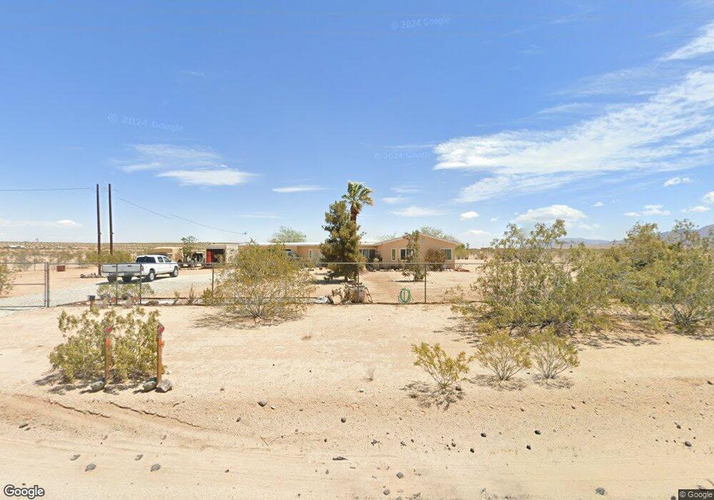
4557 Lear Ave Twentynine Palms, CA 92277
Estimated Value: $385,528 - $474,000
4
Beds
2
Baths
1,815
Sq Ft
$231/Sq Ft
Est. Value
About This Home
This home is located at 4557 Lear Ave, Twentynine Palms, CA 92277 and is currently estimated at $419,176, approximately $230 per square foot. 4557 Lear Ave is a home located in San Bernardino County with nearby schools including Twentynine Palms Elementary School, Twentynine Palms Junior High School, and Twentynine Palms High School.
Ownership History
Date
Name
Owned For
Owner Type
Purchase Details
Closed on
Sep 24, 2003
Sold by
Podsadecki John C
Bought by
Christiansen David V and Christiansen Rowena L
Current Estimated Value
Home Financials for this Owner
Home Financials are based on the most recent Mortgage that was taken out on this home.
Original Mortgage
$107,100
Outstanding Balance
$48,656
Interest Rate
5.94%
Mortgage Type
VA
Estimated Equity
$370,520
Purchase Details
Closed on
Dec 27, 2001
Sold by
Asselin Celia Y
Bought by
Podsadecki John C
Create a Home Valuation Report for This Property
The Home Valuation Report is an in-depth analysis detailing your home's value as well as a comparison with similar homes in the area
Home Values in the Area
Average Home Value in this Area
Purchase History
| Date | Buyer | Sale Price | Title Company |
|---|---|---|---|
| Christiansen David V | $105,000 | Fidelity National Title | |
| Podsadecki John C | $4,600 | -- |
Source: Public Records
Mortgage History
| Date | Status | Borrower | Loan Amount |
|---|---|---|---|
| Open | Christiansen David V | $107,100 |
Source: Public Records
Tax History Compared to Growth
Tax History
| Year | Tax Paid | Tax Assessment Tax Assessment Total Assessment is a certain percentage of the fair market value that is determined by local assessors to be the total taxable value of land and additions on the property. | Land | Improvement |
|---|---|---|---|---|
| 2025 | $684 | $205,045 | $14,927 | $190,118 |
| 2024 | $684 | $201,024 | $14,634 | $186,390 |
| 2023 | $729 | $197,082 | $14,347 | $182,735 |
| 2022 | $800 | $193,218 | $14,066 | $179,152 |
| 2021 | $2,276 | $189,429 | $13,790 | $175,639 |
| 2020 | $2,257 | $187,487 | $13,649 | $173,838 |
| 2019 | $2,224 | $183,810 | $13,381 | $170,429 |
| 2018 | $2,177 | $180,206 | $13,119 | $167,087 |
| 2017 | $2,154 | $176,673 | $12,862 | $163,811 |
| 2016 | $2,116 | $173,209 | $12,610 | $160,599 |
| 2015 | -- | $170,608 | $12,421 | $158,187 |
| 2014 | $1,991 | $167,266 | $12,178 | $155,088 |
Source: Public Records
Map
Nearby Homes
- 69450 Amboy Rd
- 6192012200 Amboy Rd
- 78751 Amboy Rd
- 0 Lear Ave Unit OC23040601
- 0 Lear Ave Unit SR25166133
- 2 Pearl Springs Ave
- 5125 Lear Ave
- 4.81 Acres On Lear Near Indian Trail
- 5228 Pine Springs Ave
- 68825 Michael Way
- 5055 Shoshone Valley Rd
- 0 Indian Trail Unit EV24154806
- 0 Indian Trail Unit JT25266833
- 0 Indian Trail Unit SR25097581
- 0 Indian Trail Unit 25603319
- 68451 Bellerue Rd
- 3575 Lear Ave
- 0 Michael Way
- 11 Indian Cove Rd
- 12 Indian Cove Rd
- 4499 Pearl Springs Ave
- 4850 Lear Ave
- 4355 Lear Ave
- 4631 Pearl Springs Ave
- 2 Raymond Dr
- 1 Raymond Dr
- 4579 Pearl Springs Ave
- 4675 Pearl Springs Ave
- 4325 Lear Ave
- 4813 Lear Ave
- 4373 Pearl Spring Ave N
- 4828 Lear Ave
- 4375 Pearl Springs Ave
- 4725 Pearl Springs Ave
- 4353 Pearl Springs Ave
- 4808 Pearl Springs Ave
- 4874 Lear Ave
- 109 Amboy Rd
- 108 Amboy Rd
- 69275 Amboy Rd