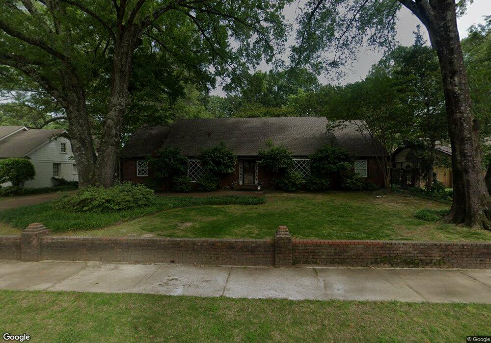
4559 Laurelwood Dr Memphis, TN 38117
East Memphis NeighborhoodEstimated Value: $746,000 - $959,000
5
Beds
5
Baths
5,648
Sq Ft
$143/Sq Ft
Est. Value
About This Home
This home is located at 4559 Laurelwood Dr, Memphis, TN 38117 and is currently estimated at $808,811, approximately $143 per square foot. 4559 Laurelwood Dr is a home located in Shelby County with nearby schools including White Station Elementary School, White Station High, and White Station Middle.
Ownership History
Date
Name
Owned For
Owner Type
Purchase Details
Closed on
Mar 28, 2012
Sold by
Brown Amelia Lovorn
Bought by
Brown Aubrey
Current Estimated Value
Purchase Details
Closed on
Mar 10, 2008
Sold by
Bell Elizabeth M
Bought by
Brown Aubrey and Brown Amelia Lovorn
Home Financials for this Owner
Home Financials are based on the most recent Mortgage that was taken out on this home.
Original Mortgage
$380,000
Outstanding Balance
$238,234
Interest Rate
6.03%
Mortgage Type
Purchase Money Mortgage
Estimated Equity
$570,577
Purchase Details
Closed on
Apr 9, 2001
Sold by
Bell William M and Bell Elizabeth
Bought by
Bell Elizabeth M
Purchase Details
Closed on
Jun 26, 1995
Bought by
Bell William M and Bell Eliza
Create a Home Valuation Report for This Property
The Home Valuation Report is an in-depth analysis detailing your home's value as well as a comparison with similar homes in the area
Home Values in the Area
Average Home Value in this Area
Purchase History
| Date | Buyer | Sale Price | Title Company |
|---|---|---|---|
| Brown Aubrey | -- | None Available | |
| Brown Aubrey | $475,300 | None Available | |
| Bell Elizabeth M | -- | -- | |
| Bell Elizabeth M | -- | -- | |
| Bell William M | $282,240 | -- |
Source: Public Records
Mortgage History
| Date | Status | Borrower | Loan Amount |
|---|---|---|---|
| Open | Brown Aubrey | $380,000 |
Source: Public Records
Tax History
| Year | Tax Paid | Tax Assessment Tax Assessment Total Assessment is a certain percentage of the fair market value that is determined by local assessors to be the total taxable value of land and additions on the property. | Land | Improvement |
|---|---|---|---|---|
| 2025 | $5,008 | $184,800 | $43,475 | $141,325 |
| 2024 | $5,008 | $147,725 | $42,375 | $105,350 |
| 2023 | $8,999 | $147,725 | $42,375 | $105,350 |
| 2022 | $8,999 | $147,725 | $42,375 | $105,350 |
| 2021 | $9,104 | $147,725 | $42,375 | $105,350 |
| 2020 | $10,791 | $148,925 | $42,375 | $106,550 |
| 2019 | $10,371 | $143,125 | $42,375 | $100,750 |
| 2018 | $10,371 | $143,125 | $42,375 | $100,750 |
| 2017 | $5,882 | $143,125 | $42,375 | $100,750 |
| 2016 | $5,652 | $129,325 | $0 | $0 |
| 2014 | $5,652 | $129,325 | $0 | $0 |
Source: Public Records
Map
Nearby Homes
- 271 Wakefield Dr
- 244 S Grove Park Rd
- 200 Perkins Extension
- 159 Perkins Extension
- 326 Cherry Cir E
- 365 Caraway Cove Unit 5A
- 154 Perkins Extension
- 409 S Perkins Rd Unit 409-4
- 311 E Cherry Cir
- 130 Greenbriar Dr
- 140 S Grove Park Rd
- 4735 Mint Dr Unit 28C
- 4386 W Cherry Place Dr
- 353 Colonial Rd
- 4400 Poplar Ave Unit 28
- 4400 Poplar Ave Unit 38
- 4400 Poplar Ave Unit 21
- 419 Wellington Cove
- 4359 W Cherry Place Dr
- 4366 Tuckahoe Rd
- 4549 Laurelwood Dr
- 4569 Laurelwood Dr
- 4539 Laurelwood Dr
- 311 Perkins Extension
- 4583 Laurelwood Dr
- 272 Wakefield Dr
- 281 Wakefield Dr
- 4529 Laurelwood Dr
- 4552 Aldersgate Rd
- 4580 Laurelwood Dr
- 4562 Aldersgate Rd
- 4532 Laurelwood Dr
- 4542 Aldersgate Rd
- 4592 Laurelwood Dr
- 4517 Laurelwood Dr
- 254 Wakefield Dr
- 302 Perkins Extension
- 4530 Aldersgate Rd
- 292 Perkins Extension
- 261 Wakefield Dr
Your Personal Tour Guide
Ask me questions while you tour the home.