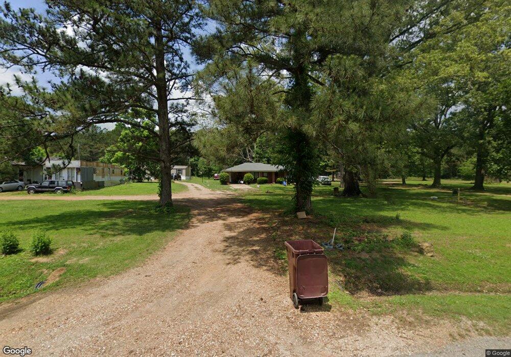
4559 White Station Rd West Point, MS 39773
Estimated Value: $128,551 - $161,000
3
Beds
--
Bath
1,263
Sq Ft
$115/Sq Ft
Est. Value
About This Home
This home is located at 4559 White Station Rd, West Point, MS 39773 and is currently estimated at $144,776, approximately $114 per square foot. 4559 White Station Rd is a home located in Clay County with nearby schools including East Side Elementary School, West Clay Elementary School, and Church Hill Elementary School.
Ownership History
Date
Name
Owned For
Owner Type
Purchase Details
Closed on
Nov 18, 2022
Sold by
Gibbs Annie
Bought by
Bivins Elina Elie
Current Estimated Value
Home Financials for this Owner
Home Financials are based on the most recent Mortgage that was taken out on this home.
Original Mortgage
$84,000
Outstanding Balance
$78,007
Interest Rate
7.08%
Mortgage Type
New Conventional
Estimated Equity
$66,769
Purchase Details
Closed on
Dec 18, 2021
Sold by
Us Department Of Agriculture
Bought by
Gibbs Annie
Create a Home Valuation Report for This Property
The Home Valuation Report is an in-depth analysis detailing your home's value as well as a comparison with similar homes in the area
Purchase History
| Date | Buyer | Sale Price | Title Company |
|---|---|---|---|
| Bivins Elina Elie | -- | -- | |
| Bivins Elina Elie | -- | None Listed On Document | |
| Gibbs Annie | $15,000 | None Available |
Source: Public Records
Mortgage History
| Date | Status | Borrower | Loan Amount |
|---|---|---|---|
| Open | Bivins Elina Elie | $84,000 |
Source: Public Records
Tax History Compared to Growth
Tax History
| Year | Tax Paid | Tax Assessment Tax Assessment Total Assessment is a certain percentage of the fair market value that is determined by local assessors to be the total taxable value of land and additions on the property. | Land | Improvement |
|---|---|---|---|---|
| 2024 | $545 | $9,695 | $795 | $8,900 |
| 2023 | $912 | $8,035 | $795 | $7,240 |
| 2022 | $449 | $8,035 | $795 | $7,240 |
| 2021 | $446 | $8,035 | $795 | $7,240 |
| 2020 | $450 | $8,035 | $795 | $7,240 |
| 2019 | $421 | $7,969 | $795 | $7,174 |
| 2018 | $404 | $7,969 | $795 | $7,174 |
| 2017 | $404 | $7,969 | $795 | $7,174 |
| 2016 | $389 | $7,969 | $795 | $7,174 |
| 2015 | $406 | $8,094 | $795 | $7,299 |
| 2014 | -- | $8,094 | $795 | $7,299 |
| 2013 | -- | $8,094 | $795 | $7,299 |
Source: Public Records
Map
Nearby Homes
- 0 Riverchase Dr
- 120 Nelda Dr
- 164 Deer Run Rd
- 0 Officers Lake Rd
- 1873 Sandy Land Rd
- 774 River Oaks Dr
- 145 Brownlee Dr
- 1372 Mike Parra Rd
- 47 N Tree Ln
- 45 Greenleaf Ln
- 230 Acorn Aly
- 0 Mississippi 373
- 1 W Jess Lyons Rd
- 4 W Jess Lyons Rd
- 3 W Jess Lyons Rd
- 6 W Jess Lyons Rd
- 5 W Jess Lyons Rd
- 0 Downs Rd
- 1 Sleepy Hollow Dr
- 134 S Perkins Rd
- 2920 Harrell Dr
- 3399 Harrell Dr
- 4716 White Station Rd
- 4518 White Station Rd
- 4861 White Station Rd
- 4385 White Station Rd
- 4566 White Station Rd
- 4829 White Station Rd
- 4181 White Station Rd
- 4099 White Station Rd
- 3853 White Station Rd
- 1680 River Chase Dr
- 10562 Margaret Dr
- 2978 Darracott Rd
- 2218 Fairway Ct
- 2220 Fairway Ct
- 2216 Fairway Ct
- 2570 Humphries Cove
- 2585 Humphries Cove
- 2571 Humphries Cove