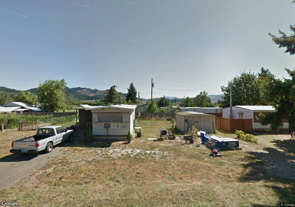
456 Maple St Yoncalla, OR 97499
Estimated Value: $218,000 - $305,000
2
Beds
1
Bath
648
Sq Ft
$404/Sq Ft
Est. Value
About This Home
This home is located at 456 Maple St, Yoncalla, OR 97499 and is currently estimated at $261,500, approximately $403 per square foot. 456 Maple St is a home located in Douglas County with nearby schools including Yoncalla Elementary School and Yoncalla High School.
Ownership History
Date
Name
Owned For
Owner Type
Purchase Details
Closed on
Dec 19, 2022
Sold by
Chapman Family Trust
Bought by
Hoar Kenneth Scot
Current Estimated Value
Purchase Details
Closed on
Aug 26, 2014
Sold by
Cross Bill F
Bought by
Chapman David M and Chapman Marjorie F
Purchase Details
Closed on
Jul 28, 2006
Sold by
Young Louella
Bought by
Cross Bill F
Home Financials for this Owner
Home Financials are based on the most recent Mortgage that was taken out on this home.
Original Mortgage
$24,000
Interest Rate
6.57%
Mortgage Type
Seller Take Back
Create a Home Valuation Report for This Property
The Home Valuation Report is an in-depth analysis detailing your home's value as well as a comparison with similar homes in the area
Purchase History
| Date | Buyer | Sale Price | Title Company |
|---|---|---|---|
| Hoar Kenneth Scot | -- | -- | |
| Chapman David M | $35,787 | Evergreen Land Title Company | |
| Cross Bill F | $49,000 | Ticor Title |
Source: Public Records
Mortgage History
| Date | Status | Borrower | Loan Amount |
|---|---|---|---|
| Previous Owner | Cross Bill F | $24,000 |
Source: Public Records
Tax History
| Year | Tax Paid | Tax Assessment Tax Assessment Total Assessment is a certain percentage of the fair market value that is determined by local assessors to be the total taxable value of land and additions on the property. | Land | Improvement |
|---|---|---|---|---|
| 2025 | $969 | $90,834 | -- | -- |
| 2024 | $941 | $88,189 | -- | -- |
| 2023 | $913 | $85,621 | $0 | $0 |
| 2022 | $887 | $83,128 | $0 | $0 |
| 2021 | $861 | $80,707 | $0 | $0 |
| 2020 | $836 | $78,357 | $0 | $0 |
| 2019 | $812 | $76,075 | $0 | $0 |
| 2018 | $788 | $73,860 | $0 | $0 |
| 2017 | $765 | $71,709 | $0 | $0 |
| 2016 | $743 | $69,621 | $0 | $0 |
| 2015 | $721 | $67,594 | $0 | $0 |
| 2014 | $59 | $5,531 | $0 | $0 |
| 2013 | -- | $5,367 | $0 | $0 |
Source: Public Records
Map
Nearby Homes
- 435 Spruce St
- 0 1st St
- 173 Main St
- 644 Main St
- 703 Main St
- 656 Applegate Ave
- 373 Hayhurst Rd
- 420 Halo Trail Rd
- 0 Anne St Unit Lot 1 220196575
- 0 Anne St Unit LOT 1 289234974
- 1059 Wooley Ct
- 1019 Wooley Ct
- 1039 Wooley Ct
- 1079 Wooley Ct
- 1089 Wooley Ct
- 485 Andrews Rd
- 0 Wilson Rd Unit 22339417
- 773 Upper Ridge Rd
- 841 Skelly Rd
- 408 Whipple Ave
Your Personal Tour Guide
Ask me questions while you tour the home.