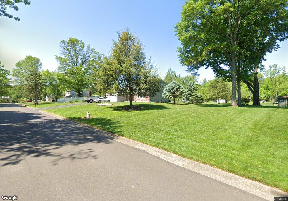
4562 Watson Dr Doylestown, PA 18902
Estimated Value: $586,430 - $738,000
4
Beds
3
Baths
2,162
Sq Ft
$310/Sq Ft
Est. Value
About This Home
This home is located at 4562 Watson Dr, Doylestown, PA 18902 and is currently estimated at $669,858, approximately $309 per square foot. 4562 Watson Dr is a home located in Bucks County with nearby schools including Buckingham Elementary School, Holicong Middle School, and Central Bucks High School - East.
Ownership History
Date
Name
Owned For
Owner Type
Purchase Details
Closed on
Feb 20, 2001
Sold by
Lang Edith M
Bought by
Benscoter Theodore J and Lang Edith M
Current Estimated Value
Purchase Details
Closed on
Aug 21, 1998
Sold by
Sorgen Henry J and Sorgen Dorothy A
Bought by
Lang Edith M
Home Financials for this Owner
Home Financials are based on the most recent Mortgage that was taken out on this home.
Original Mortgage
$116,000
Outstanding Balance
$24,200
Interest Rate
6.92%
Estimated Equity
$645,658
Create a Home Valuation Report for This Property
The Home Valuation Report is an in-depth analysis detailing your home's value as well as a comparison with similar homes in the area
Home Values in the Area
Average Home Value in this Area
Purchase History
| Date | Buyer | Sale Price | Title Company |
|---|---|---|---|
| Benscoter Theodore J | -- | -- | |
| Lang Edith M | $217,000 | -- |
Source: Public Records
Mortgage History
| Date | Status | Borrower | Loan Amount |
|---|---|---|---|
| Open | Lang Edith M | $116,000 |
Source: Public Records
Tax History
| Year | Tax Paid | Tax Assessment Tax Assessment Total Assessment is a certain percentage of the fair market value that is determined by local assessors to be the total taxable value of land and additions on the property. | Land | Improvement |
|---|---|---|---|---|
| 2025 | $5,991 | $36,800 | $10,000 | $26,800 |
| 2024 | $5,991 | $36,800 | $10,000 | $26,800 |
| 2023 | $5,788 | $36,800 | $10,000 | $26,800 |
| 2022 | $5,719 | $36,800 | $10,000 | $26,800 |
| 2021 | $5,651 | $36,800 | $10,000 | $26,800 |
| 2020 | $5,651 | $36,800 | $10,000 | $26,800 |
| 2019 | $5,614 | $36,800 | $10,000 | $26,800 |
| 2018 | $5,614 | $36,800 | $10,000 | $26,800 |
| 2017 | $5,568 | $36,800 | $10,000 | $26,800 |
| 2016 | $5,623 | $36,800 | $10,000 | $26,800 |
| 2015 | -- | $36,800 | $10,000 | $26,800 |
| 2014 | -- | $36,800 | $10,000 | $26,800 |
Source: Public Records
Map
Nearby Homes
- 2918 Snake Hill Rd
- 3039 Durham Rd
- 3689 Hancock Ln
- 2798 Forge Place
- 3468 Holicong Rd
- 3960 S Mallard Ln
- 3660 Buttonwood Dr
- 3795 Route 202
- 5025 Anderson Rd
- 4533 Deep Creek Way
- 3775 Buckingham Dr
- 2980 Yorkshire Rd
- 3889 Robin Rd
- 4925 Redfield Rd
- 607 S Chubb Dr
- 3455 & 3479 Durham Rd
- 117 Windover Ln
- 5491 Long Ln
- 6185 Mechanicsville Rd
- 5358 York Rd
- 4576 Watson Dr
- 4546 Watson Dr
- 4559 Watson Dr
- 4575 Watson Dr
- 4592 Watson Dr
- 4528 Watson Dr
- 4543 Watson Dr
- 4591 Watson Dr
- 4608 Watson Dr
- 4527 Watson Dr
- 4510 Watson Dr
- 4607 Watson Dr
- 3271 Burnt House Hill Rd
- 3251 Burnt House Hill Rd
- 4509 Watson Dr
- 3287 Burnt House Hill Rd
- 3216 Burnt House Hill Rd
- 3230 Burnt House Hill Rd
- 3226 Wellington Rd
- 3250 Burnt House Hill Rd
Your Personal Tour Guide
Ask me questions while you tour the home.