4566 W Snowflake Dr Highland, UT 84003
Estimated Value: $1,001,000 - $1,522,624
2
Beds
3
Baths
3,465
Sq Ft
$356/Sq Ft
Est. Value
About This Home
This home is located at 4566 W Snowflake Dr, Highland, UT 84003 and is currently estimated at $1,232,541, approximately $355 per square foot. 4566 W Snowflake Dr is a home with nearby schools including Highland Elementary School, Timberline Middle School, and Lone Peak High School.
Ownership History
Date
Name
Owned For
Owner Type
Purchase Details
Closed on
Sep 1, 2022
Sold by
Hodgkinson Andrew A and Hodgkinson Colleen S
Bought by
Andrew A Hodgkinson And Colleen Smith Hodgkin
Current Estimated Value
Purchase Details
Closed on
Oct 20, 2021
Sold by
Hodgkinson Andrew A and Hodgkinson Colleen S
Bought by
Hodgkinson Andrew A
Home Financials for this Owner
Home Financials are based on the most recent Mortgage that was taken out on this home.
Original Mortgage
$354,000
Interest Rate
2.1%
Mortgage Type
New Conventional
Purchase Details
Closed on
May 24, 2013
Sold by
Burt Welsley Gilmore
Bought by
Hodgkinson Andrew A and Hodgkinson Colleen S
Home Financials for this Owner
Home Financials are based on the most recent Mortgage that was taken out on this home.
Original Mortgage
$417,000
Interest Rate
3.41%
Mortgage Type
New Conventional
Create a Home Valuation Report for This Property
The Home Valuation Report is an in-depth analysis detailing your home's value as well as a comparison with similar homes in the area
Home Values in the Area
Average Home Value in this Area
Purchase History
| Date | Buyer | Sale Price | Title Company |
|---|---|---|---|
| Andrew A Hodgkinson And Colleen Smith Hodgkin | -- | -- | |
| Hodgkinson Andrew A | -- | Meridian Title Co | |
| Hodgkinson Andrew A | -- | Metro National Title |
Source: Public Records
Mortgage History
| Date | Status | Borrower | Loan Amount |
|---|---|---|---|
| Previous Owner | Hodgkinson Andrew A | $354,000 | |
| Previous Owner | Hodgkinson Andrew A | $417,000 |
Source: Public Records
Tax History Compared to Growth
Tax History
| Year | Tax Paid | Tax Assessment Tax Assessment Total Assessment is a certain percentage of the fair market value that is determined by local assessors to be the total taxable value of land and additions on the property. | Land | Improvement |
|---|---|---|---|---|
| 2025 | $5,708 | $659,780 | $588,300 | $611,300 |
| 2024 | $5,708 | $704,990 | $0 | $0 |
| 2023 | $5,557 | $740,410 | $0 | $0 |
| 2022 | $5,185 | $669,955 | $0 | $0 |
| 2021 | $4,627 | $890,400 | $355,900 | $534,500 |
| 2020 | $4,472 | $844,000 | $309,500 | $534,500 |
| 2019 | $4,228 | $834,800 | $309,500 | $525,300 |
| 2018 | $4,117 | $772,400 | $309,500 | $462,900 |
| 2017 | $4,187 | $419,320 | $0 | $0 |
| 2016 | $3,685 | $344,905 | $0 | $0 |
| 2015 | $3,652 | $323,950 | $0 | $0 |
| 2014 | $3,218 | $282,975 | $0 | $0 |
Source: Public Records
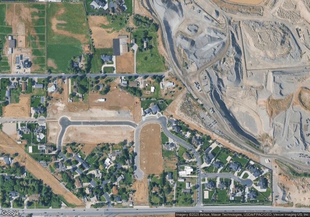
Map
Nearby Homes
- 682 Healey Blvd
- 909 Ridge Ln
- 4224 W Park Dr
- 11197 N Park Dr
- 10861 N Panorama Dr
- 5077 W 11000 N
- 629 S Pheasant Ridge Cir
- 5159 W 11000 N
- 10528 Aberdeen Ln
- 4084 W Shinnecock
- 10535 Janie Ln
- 1263 E Chapman Ct
- 10795 N La Costa
- 1292 E 810 S
- 4083 W Hayes Cir
- 5984 W 11200 N Unit 1
- 10685 N Jerling Dr
- 10587 N Avalon St
- 88 W Cascade Ave
- 4756 W 10370 N
- 4547 W 11200 N
- 4565 W 11200 N
- 11114 N Spruce Dr
- 4597 W 11200 N
- 11109 N Spruce Dr
- 11096 N Spruce Dr
- 11096 N Spruce Dr Unit 5
- 11096 N Spruce Dr
- 11075 Manor Cir
- 11087 N Spruce Dr Unit 2
- 11060 Manor Cir
- 4649 W 11200 N
- 4560 W 11200 N
- 4612 W 11200 N
- 4558 W 11000 N
- 11033 N Spruce Dr Unit 1
- 11033 N Spruce Dr
- 11072 N Spruce Dr
- 11058 Manor Cir
- 11058 N Manor Cir