Estimated Value: $328,258
Studio
--
Bath
3,000
Sq Ft
$109/Sq Ft
Est. Value
About This Home
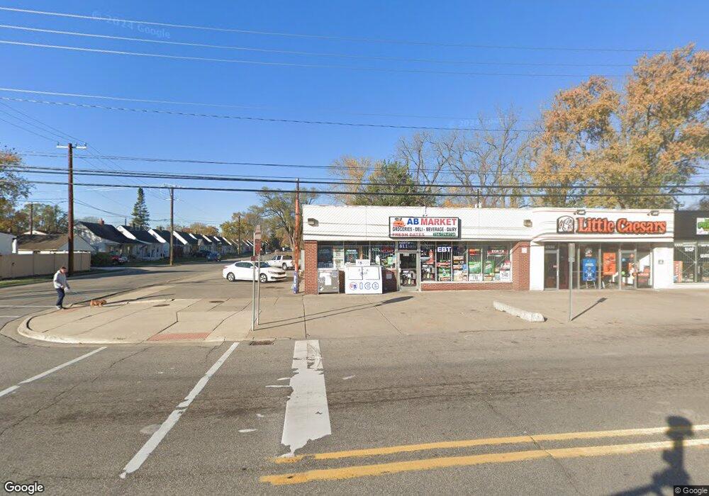
This home is located at 4568 Howe Rd, Wayne, MI 48184 and is currently estimated at $328,258, approximately $109 per square foot. 4568 Howe Rd is a home located in Wayne County with nearby schools including Benjamin Franklin Middle School, Taft-Galloway Elementary School, and Wayne Memorial High School.
Ownership History
Date
Name
Owned For
Owner Type
Purchase Details
Closed on
Jul 23, 2021
Sold by
Haidous Abdul H and Haidous Balassem
Bought by
Ab Market Llc
Current Estimated Value
Home Financials for this Owner
Home Financials are based on the most recent Mortgage that was taken out on this home.
Original Mortgage
$240,000
Outstanding Balance
$217,763
Interest Rate
2.9%
Mortgage Type
Stand Alone First
Estimated Equity
$110,495
Create a Home Valuation Report for This Property
The Home Valuation Report is an in-depth analysis detailing your home's value as well as a comparison with similar homes in the area
Home Values in the Area
Average Home Value in this Area
Purchase History
| Date | Buyer | Sale Price | Title Company |
|---|---|---|---|
| Ab Market Llc | $250,000 | Coretitle Llc |
Source: Public Records
Mortgage History
| Date | Status | Borrower | Loan Amount |
|---|---|---|---|
| Open | Ab Market Llc | $240,000 |
Source: Public Records
Tax History
| Year | Tax Paid | Tax Assessment Tax Assessment Total Assessment is a certain percentage of the fair market value that is determined by local assessors to be the total taxable value of land and additions on the property. | Land | Improvement |
|---|---|---|---|---|
| 2025 | $4,343 | $79,000 | $0 | $0 |
| 2024 | $4,015 | $69,700 | $0 | $0 |
| 2023 | $3,830 | $63,100 | $0 | $0 |
| 2022 | $4,231 | $57,000 | $0 | $0 |
| 2021 | $2,819 | $54,200 | $0 | $0 |
| 2020 | $3,275 | $53,900 | $0 | $0 |
| 2019 | $2,335 | $53,200 | $0 | $0 |
| 2018 | $2,223 | $48,800 | $0 | $0 |
| 2017 | $792 | $44,000 | $0 | $0 |
| 2016 | $2,651 | $40,600 | $0 | $0 |
| 2015 | $3,594 | $38,600 | $0 | $0 |
| 2013 | $3,482 | $36,100 | $0 | $0 |
| 2012 | -- | $34,700 | $5,600 | $29,100 |
Source: Public Records
Map
Nearby Homes
- 4948 Howe Rd
- 33619 Forest St
- 4422 4th St
- 4004 Howe Rd
- 34321 John St
- 34504 Stellwagen St
- 4190 2nd St
- 34590 Stellwagen St
- 34102 van Born Rd
- 34633 Brush St
- 4120 1st St
- 34441 Phyllis St
- 34460 van Born Rd
- 34934 Brush St
- 4214 Cadillac Ave
- 35373 Forest St Unit 15
- 4453 Newberry St
- 6015 Edmund St
- 32515 Annapolis St
- 35247 Currier St
- 4554 Howe Rd
- 4612 Howe Rd
- 0 Howe Rd
- 4532 Howe Rd
- 4569 Columbus St
- 4624 Howe Rd
- 33923 Annapolis St
- 4557 Columbus St
- 33740 Annapolis St
- 4545 Columbus St
- 4520 Howe Rd Unit Bldg-Unit
- 4520 Howe Rd
- 33935 Annapolis St
- 4636 Howe Rd
- 4533 Columbus St
- 33947 Annapolis St
- 4508 Howe Rd
- 33730 Annapolis St
- 33765 Clinton St
- 4648 Howe Rd
Your Personal Tour Guide
Ask me questions while you tour the home.