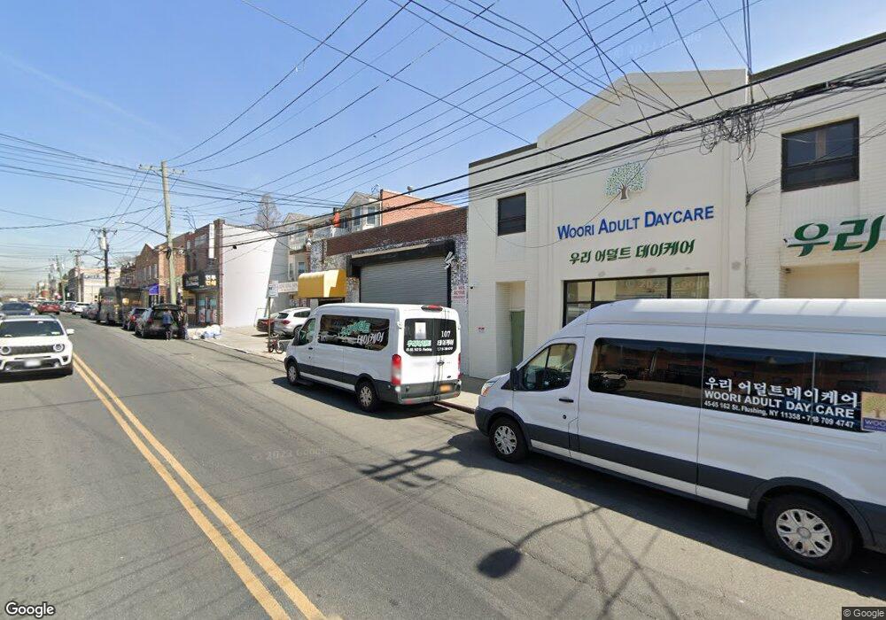
4569 162nd St Flushing, NY 11358
East Flushing NeighborhoodEstimated Value: $1,595,596
Studio
--
Bath
5,250
Sq Ft
$304/Sq Ft
Est. Value
About This Home
This home is located at 4569 162nd St, Flushing, NY 11358 and is currently estimated at $1,595,596, approximately $303 per square foot. 4569 162nd St is a home located in Queens County with nearby schools including P.S. 107 Thomas A Dooley, Rachel Carson I.S. 237Q, and Francis Lewis High School.
Ownership History
Date
Name
Owned For
Owner Type
Purchase Details
Closed on
Jan 14, 2004
Sold by
M & P Realty Ny Inc
Bought by
University Bible Fellowship-New York Cha
Current Estimated Value
Purchase Details
Closed on
Nov 19, 1998
Sold by
Luton Realty Corp
Bought by
M & P Realty Ny Inc
Home Financials for this Owner
Home Financials are based on the most recent Mortgage that was taken out on this home.
Original Mortgage
$190,000
Interest Rate
6.74%
Mortgage Type
Seller Take Back
Create a Home Valuation Report for This Property
The Home Valuation Report is an in-depth analysis detailing your home's value as well as a comparison with similar homes in the area
Home Values in the Area
Average Home Value in this Area
Purchase History
| Date | Buyer | Sale Price | Title Company |
|---|---|---|---|
| University Bible Fellowship-New York Cha | $800,000 | -- | |
| M & P Realty Ny Inc | $429,942 | First American Title Ins Co |
Source: Public Records
Mortgage History
| Date | Status | Borrower | Loan Amount |
|---|---|---|---|
| Previous Owner | M & P Realty Ny Inc | $190,000 |
Source: Public Records
Tax History
| Year | Tax Paid | Tax Assessment Tax Assessment Total Assessment is a certain percentage of the fair market value that is determined by local assessors to be the total taxable value of land and additions on the property. | Land | Improvement |
|---|---|---|---|---|
| 2025 | -- | $189,450 | $54,450 | $135,000 |
| 2024 | -- | $186,750 | $54,450 | $132,300 |
| 2023 | $0 | $183,150 | $54,450 | $128,700 |
| 2022 | $0 | $172,800 | $54,450 | $118,350 |
| 2021 | $0 | $158,400 | $54,450 | $103,950 |
| 2020 | $0 | $195,300 | $54,450 | $140,850 |
| 2019 | $0 | $189,450 | $54,450 | $135,000 |
| 2018 | $0 | $164,160 | $54,450 | $109,710 |
| 2017 | $0 | $156,690 | $54,450 | $102,240 |
| 2016 | -- | $156,690 | $54,450 | $102,240 |
| 2015 | -- | $144,540 | $56,070 | $88,470 |
| 2014 | -- | $140,220 | $56,070 | $84,150 |
Source: Public Records
Map
Nearby Homes
- 45-74 164th St
- 46-12 161st St Unit 1D
- 46-12 161st St Unit 2C
- 4618 161st St Unit C4
- 46-18 161st St Unit C4
- 45-57 160th St
- 163-02 45th Ave
- 45-18 166th St
- 46-05 158th St
- 4363 160th St
- 43-58 163rd St
- 47-21 162nd St
- 4344 161st St
- 157-10 46th Ave
- 43-33 163rd St
- 43-27 162nd St
- 43-24 164th St
- 43-07 162nd St
- 157-18 Laburnum Ave
- 45-25 168th St
- 4571 162nd St
- 45-73 162nd St
- 4565 162nd St
- 4573 162nd St
- 4575 162nd St
- 4561 162nd St
- 45-75 162nd St
- 45-65 162nd St
- 4568 163rd St
- 45-68 163rd St Unit 2 Fl
- 45-68 163rd St
- 4557 162nd St
- 4572 163rd St
- 45-72 163rd St
- 4564 163rd St
- 4576 163rd St
- 45-76 163rd St Unit 2
- 45-70 162nd St
- 45-70 162nd St Unit 2Fl
- 4570 162nd St
Your Personal Tour Guide
Ask me questions while you tour the home.