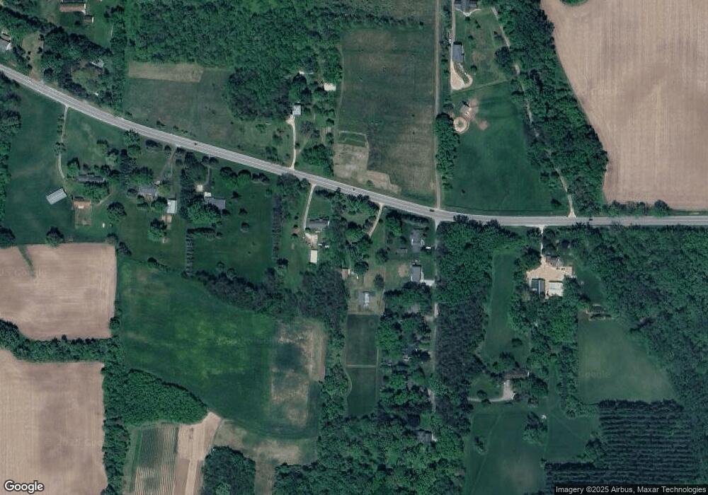
4569 County Road B Oregon, WI 53575
Estimated Value: $448,000 - $559,000
3
Beds
2
Baths
2,400
Sq Ft
$211/Sq Ft
Est. Value
About This Home
This home is located at 4569 County Road B, Oregon, WI 53575 and is currently estimated at $506,519, approximately $211 per square foot. 4569 County Road B is a home located in Dane County with nearby schools including Oregon Middle School, Rome Corners Intermediate School, and Oregon High School.
Ownership History
Date
Name
Owned For
Owner Type
Purchase Details
Closed on
Oct 31, 2017
Sold by
Alberti Thomas B and Alberti Vicki
Bought by
Nicewander Joel
Current Estimated Value
Home Financials for this Owner
Home Financials are based on the most recent Mortgage that was taken out on this home.
Original Mortgage
$247,203
Outstanding Balance
$207,035
Interest Rate
3.83%
Mortgage Type
VA
Estimated Equity
$299,484
Create a Home Valuation Report for This Property
The Home Valuation Report is an in-depth analysis detailing your home's value as well as a comparison with similar homes in the area
Purchase History
| Date | Buyer | Sale Price | Title Company |
|---|---|---|---|
| Nicewander Joel | $242,000 | -- |
Source: Public Records
Mortgage History
| Date | Status | Borrower | Loan Amount |
|---|---|---|---|
| Open | Nicewander Joel | $247,203 |
Source: Public Records
Tax History
| Year | Tax Paid | Tax Assessment Tax Assessment Total Assessment is a certain percentage of the fair market value that is determined by local assessors to be the total taxable value of land and additions on the property. | Land | Improvement |
|---|---|---|---|---|
| 2023 | $5,229 | $319,600 | $173,500 | $146,100 |
| 2022 | $5,030 | $319,600 | $173,500 | $146,100 |
| 2021 | $4,342 | $319,600 | $173,500 | $146,100 |
| 2020 | $3,987 | $201,600 | $112,200 | $89,400 |
| 2019 | $3,886 | $201,600 | $112,200 | $89,400 |
| 2018 | $3,659 | $201,600 | $112,200 | $89,400 |
| 2017 | $3,708 | $201,600 | $112,200 | $89,400 |
| 2016 | $3,766 | $201,600 | $112,200 | $89,400 |
| 2015 | $3,681 | $201,600 | $112,200 | $89,400 |
| 2014 | $3,535 | $201,600 | $112,200 | $89,400 |
| 2013 | $3,835 | $201,600 | $112,200 | $89,400 |
Source: Public Records
Map
Nearby Homes
- 2395 White Oak Trail
- 4595 Mahoney Rd
- 2001 Timber Lake Rd
- 4700 Holm Rd
- 805 Violet Ln
- 457 Savannah Dr
- 1082 Tundra Ave
- 1077 Tundra Ave
- 468 Stoddard Dr
- 850 N Perry Pkwy
- 981 Merri-Hill Dr
- 444 Stoddard Dr
- 4211 Oak St
- The Chelsea Plan at Greenview Preserve
- The Everest Plan at Greenview Preserve
- The Tribeca Plan at Greenview Preserve
- The Davis Twin Home Plan at Greenview Preserve - Twin Homes
- 4174 Brian St
- 110 Saratoga Cir
- 4285 Rutland Dunn Townline Rd
- 4579 County Road B
- 4579 County Road B
- 2241 Southview Rd
- 2237 Southview Rd
- 2231 S View Rd
- 2231 Southview Rd
- 2221 S View Rd
- 2221 Southview Rd
- 4593 County Road B
- 2213 Southview Rd
- 4533 County Road B
- 2209 Southview Rd
- 2200 Southview Rd
- 4601 County Road B
- 4520 County Road B
- 4627 County Road B
- 4533 County Road B
- 4626 County Road B
- 2429 White Oak Trail
- 2433 White Oak Tr
