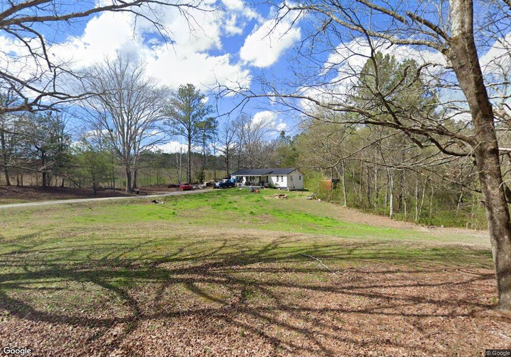
457 Center Grove Rd La Fayette, GA 30728
Noble NeighborhoodEstimated Value: $146,393 - $187,000
--
Bed
1
Bath
912
Sq Ft
$187/Sq Ft
Est. Value
About This Home
This home is located at 457 Center Grove Rd, La Fayette, GA 30728 and is currently estimated at $170,098, approximately $186 per square foot. 457 Center Grove Rd is a home located in Walker County with nearby schools including Rock Spring Elementary School, Lafayette High School, and Alice M Daley Adventist School.
Ownership History
Date
Name
Owned For
Owner Type
Purchase Details
Closed on
Apr 30, 2007
Sold by
Porter Rose W
Bought by
Porter Stanley M
Current Estimated Value
Purchase Details
Closed on
Dec 15, 1995
Sold by
Edgeman David M
Bought by
Porter Stanley M and Porter Rose
Purchase Details
Closed on
Dec 19, 1991
Sold by
Edgeman Monroe
Bought by
Edgeman David M
Purchase Details
Closed on
Jan 1, 1972
Bought by
Edgeman Monroe
Create a Home Valuation Report for This Property
The Home Valuation Report is an in-depth analysis detailing your home's value as well as a comparison with similar homes in the area
Home Values in the Area
Average Home Value in this Area
Purchase History
| Date | Buyer | Sale Price | Title Company |
|---|---|---|---|
| Porter Stanley M | -- | -- | |
| Porter Stanley M | $42,000 | -- | |
| Edgeman David M | -- | -- | |
| Edgeman Monroe | -- | -- |
Source: Public Records
Tax History Compared to Growth
Tax History
| Year | Tax Paid | Tax Assessment Tax Assessment Total Assessment is a certain percentage of the fair market value that is determined by local assessors to be the total taxable value of land and additions on the property. | Land | Improvement |
|---|---|---|---|---|
| 2024 | $1,397 | $62,462 | $11,080 | $51,382 |
| 2023 | $1,321 | $57,584 | $8,794 | $48,790 |
| 2022 | $1,234 | $49,213 | $7,533 | $41,680 |
| 2021 | $949 | $33,350 | $7,533 | $25,817 |
| 2020 | $824 | $27,457 | $7,533 | $19,924 |
| 2019 | $839 | $27,457 | $7,533 | $19,924 |
| 2018 | $727 | $27,457 | $7,533 | $19,924 |
| 2017 | $914 | $27,457 | $7,533 | $19,924 |
| 2016 | $802 | $27,457 | $7,533 | $19,924 |
| 2015 | $563 | $16,628 | $6,800 | $9,828 |
| 2014 | $485 | $16,628 | $6,800 | $9,828 |
| 2013 | -- | $16,628 | $6,800 | $9,828 |
Source: Public Records
Map
Nearby Homes
- 0 Veeler Rd Unit 1522679
- 0 Veeler Rd Unit 10628696
- 4654 Us Highway 27
- 329 Lynn Trail
- 4582 Highway N 27
- 23 Willow Cir
- 16 Willow Cir
- 4544 N Highway 27
- 11 Willow Cir
- The Pearson Plan at Laurel Ridge
- The Benson II Plan at Laurel Ridge
- The Langford Plan at Laurel Ridge
- The Lawson Plan at Laurel Ridge
- The Piedmont Plan at Laurel Ridge
- The Coleman Plan at Laurel Ridge
- The McGinnis Plan at Laurel Ridge
- The Caldwell Plan at Laurel Ridge
- 15 Willow Cir
- 23 Forrestway Dr
- 549 Center Grove Rd
- 599 Center Grove Rd
- 432 Center Grove Rd
- 373 Center Grove Rd
- 519 Center Grove Rd
- 556 Center Grove Rd
- 601 Center Grove Rd
- 657 Center Grove Rd
- 464 Center Grove Rd
- 332 Center Grove Rd
- 1 Veeler Rd
- 709 Center Grove Rd
- 63 Veeler Rd
- 0 Veeler Rd
- 0 Veeler Rd Unit RTC2729454
- 0 Veeler Rd Unit RTC2482126
- 0 Veeler Rd Unit 1271963
- 0 Veeler Rd Unit 1237954
- 0 Veeler Rd Unit 1145234
- 0 Veeler Rd Unit 1045732