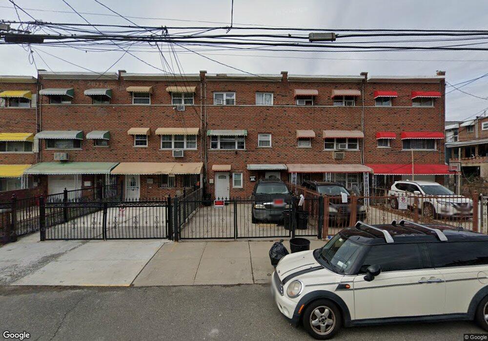
457 Olmstead Ave Bronx, NY 10473
Castle Hill NeighborhoodEstimated Value: $659,917 - $737,000
Studio
--
Bath
1,944
Sq Ft
$358/Sq Ft
Est. Value
About This Home
This home is located at 457 Olmstead Ave, Bronx, NY 10473 and is currently estimated at $695,729, approximately $357 per square foot. 457 Olmstead Ave is a home located in Bronx County with nearby schools including P.S. 182.
Ownership History
Date
Name
Owned For
Owner Type
Purchase Details
Closed on
Nov 18, 1996
Sold by
Caban Gonzalo and Caban Virginia
Bought by
Arteaga Ariosto
Current Estimated Value
Home Financials for this Owner
Home Financials are based on the most recent Mortgage that was taken out on this home.
Original Mortgage
$142,000
Outstanding Balance
$13,331
Interest Rate
7.55%
Estimated Equity
$682,398
Create a Home Valuation Report for This Property
The Home Valuation Report is an in-depth analysis detailing your home's value as well as a comparison with similar homes in the area
Home Values in the Area
Average Home Value in this Area
Purchase History
| Date | Buyer | Sale Price | Title Company |
|---|---|---|---|
| Arteaga Ariosto | $150,000 | Commonwealth Land Title Ins |
Source: Public Records
Mortgage History
| Date | Status | Borrower | Loan Amount |
|---|---|---|---|
| Open | Arteaga Ariosto | $142,000 |
Source: Public Records
Tax History
| Year | Tax Paid | Tax Assessment Tax Assessment Total Assessment is a certain percentage of the fair market value that is determined by local assessors to be the total taxable value of land and additions on the property. | Land | Improvement |
|---|---|---|---|---|
| 2025 | $5,933 | $30,413 | $6,528 | $23,885 |
| 2024 | $5,933 | $29,539 | $6,665 | $22,874 |
| 2023 | $5,660 | $27,868 | $6,288 | $21,580 |
| 2022 | $5,563 | $31,080 | $7,920 | $23,160 |
| 2021 | $5,654 | $28,620 | $7,920 | $20,700 |
| 2020 | $5,365 | $29,880 | $7,920 | $21,960 |
| 2019 | $5,149 | $26,880 | $7,920 | $18,960 |
| 2018 | $4,734 | $23,223 | $7,316 | $15,907 |
| 2017 | $4,734 | $23,223 | $7,569 | $15,654 |
| 2016 | $4,475 | $22,387 | $7,901 | $14,486 |
| 2015 | $2,642 | $21,120 | $8,820 | $12,300 |
| 2014 | $2,642 | $20,514 | $8,817 | $11,697 |
Source: Public Records
Map
Nearby Homes
- 423 Olmstead Ave
- 2114 Lacombe Ave
- 433 Howe Ave Unit A
- 443 Howe Ave
- 2076 Caesar Place
- 2096 Randall Ave
- 422 Castle Hill Ave
- 2228 Norton Ave
- 430 Turneur Ave
- 2242 Lacombe Ave
- 234 Betts Ave
- 260 Zerega Ave
- 437 Zerega Ave
- 321 Newman Ave
- 1907 Lacombe Ave
- 227 Stephens Ave
- 444 Underhill Ave
- 252 Soundview Ave
- 356 Underhill Ave
- 246 Soundview Ave
- 459 Olmstead Ave
- 455 Olmstead Ave
- 453 Olmstead Ave
- 453 Olmstead Ave Unit 1
- 461 Olmstead Ave
- 451 Olmstead Ave
- 449 Olmstead Ave
- 2076 Lacombe Ave
- 2078 Lacombe Ave
- 2074 Lacombe Ave
- 448 Screvin Ave Unit 3 bedroom unit
- 448 Screvin Ave Unit 2 bedroom unit
- 450 Screvin Ave
- 445 Olmstead Ave
- 446 Screvin Ave
- 452 Screvin Ave
- 444 Screvin Ave
- 442 Screvin Ave
- 2070 Lacombe Ave
Your Personal Tour Guide
Ask me questions while you tour the home.