457 Platt Hill Rd Winsted, CT 06098
Estimated Value: $621,481 - $685,000
4
Beds
3
Baths
3,180
Sq Ft
$209/Sq Ft
Est. Value
About This Home
This home is located at 457 Platt Hill Rd, Winsted, CT 06098 and is currently estimated at $663,120, approximately $208 per square foot. 457 Platt Hill Rd is a home located in Litchfield County.
Ownership History
Date
Name
Owned For
Owner Type
Purchase Details
Closed on
Mar 31, 2008
Sold by
Slater Robert and Slater Bonnie
Bought by
Guillet Mary
Current Estimated Value
Purchase Details
Closed on
Mar 31, 2000
Sold by
Maule Gerald E and Maule Theresa H
Bought by
Slater Robert and Slater Bonnie
Create a Home Valuation Report for This Property
The Home Valuation Report is an in-depth analysis detailing your home's value as well as a comparison with similar homes in the area
Home Values in the Area
Average Home Value in this Area
Purchase History
| Date | Buyer | Sale Price | Title Company |
|---|---|---|---|
| Guillet Mary | $437,500 | -- | |
| Guillet Mary V | $437,500 | -- | |
| Slater Robert | $61,000 | -- | |
| Slater Robert | $61,000 | -- |
Source: Public Records
Mortgage History
| Date | Status | Borrower | Loan Amount |
|---|---|---|---|
| Previous Owner | Slater Robert | $124,000 |
Source: Public Records
Tax History Compared to Growth
Tax History
| Year | Tax Paid | Tax Assessment Tax Assessment Total Assessment is a certain percentage of the fair market value that is determined by local assessors to be the total taxable value of land and additions on the property. | Land | Improvement |
|---|---|---|---|---|
| 2025 | $9,334 | $319,970 | $59,360 | $260,610 |
| 2024 | $8,554 | $314,020 | $59,360 | $254,660 |
| 2023 | $8,287 | $314,020 | $59,360 | $254,660 |
| 2022 | $8,572 | $255,570 | $43,960 | $211,610 |
| 2021 | $8,572 | $255,570 | $43,960 | $211,610 |
| 2020 | $8,572 | $255,570 | $43,960 | $211,610 |
| 2019 | $8,572 | $255,570 | $43,960 | $211,610 |
| 2018 | $8,572 | $255,570 | $43,960 | $211,610 |
| 2017 | $8,525 | $254,170 | $43,960 | $210,210 |
| 2016 | $8,525 | $254,170 | $43,960 | $210,210 |
| 2015 | $8,311 | $254,170 | $43,960 | $210,210 |
| 2014 | $8,111 | $254,170 | $43,960 | $210,210 |
Source: Public Records
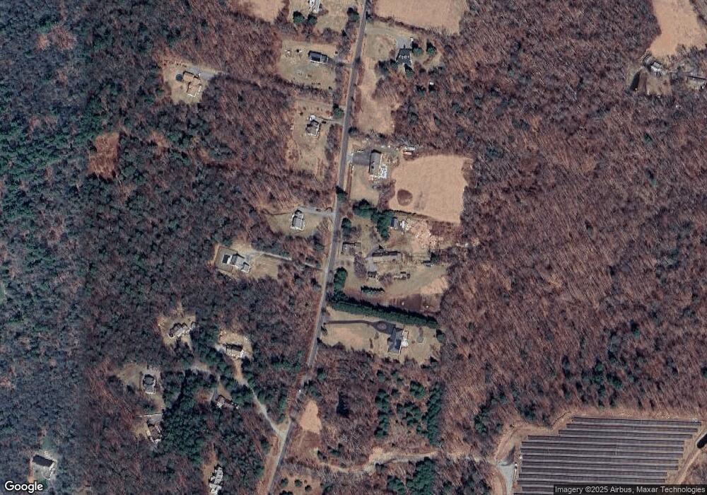
Map
Nearby Homes
- 469 Platt Hill Rd
- 440 Platt Hill Rd
- 117 South Rd
- 00 Chapel Rd
- 107 Peck Rd
- 105,107 E Mountain Rd
- 207 Ledge Dr
- 23 Evergreen Rd
- 98 Woodside Cir
- 90 Woodside Cir
- 103 Woodside Cir
- 65 Woodside Cir Unit 65
- 274 Cliffside Dr Unit 274
- 174 Ledge Dr
- 250 Cliffside Dr
- 239 Ledge Dr
- 225 Ledge Dr
- 431 Trailsend Dr Unit + Garage G128
- 819 E Wakefield Blvd
- 390 Trailsend Dr Unit 390
- 451 Platt Hill Rd
- 454 Platt Hill Rd
- 449 Platt Hill Rd
- 452 Platt Hill Rd
- 450 Platt Hill Rd
- 462 Platt Hill Rd
- 456 Platt Hill Rd
- 0 Platt Hill Lot 1 Rd
- 446 Platt Hill Rd
- 441 Platt Hill Rd
- 441 Platt Hill Rd
- 441 Platt Hill Rd Unit RD
- 458 Platt Hill Rd
- 460 Platt Hill Rd
- 444 Platt Hill Rd
- 470 Platt Hill Rd
- 442 Platt Hill Rd
- 466 Platt Hill Rd
- 449 Dayton Rd
- 100 Hollow Hill Rd