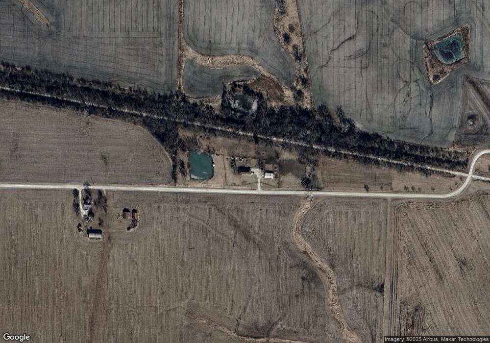
457 SW 1200th Rd Chilhowee, MO 64733
Estimated Value: $293,000 - $369,000
--
Bed
--
Bath
1,903
Sq Ft
$178/Sq Ft
Est. Value
About This Home
This home is located at 457 SW 1200th Rd, Chilhowee, MO 64733 and is currently estimated at $338,401, approximately $177 per square foot. 457 SW 1200th Rd is a home located in Johnson County with nearby schools including Chilhowee Elementary School and Chilhowee High School.
Ownership History
Date
Name
Owned For
Owner Type
Purchase Details
Closed on
Nov 18, 2020
Sold by
Miller Timothy E and Miller Misty L
Bought by
Cavallaro Johnnie George
Current Estimated Value
Home Financials for this Owner
Home Financials are based on the most recent Mortgage that was taken out on this home.
Original Mortgage
$235,000
Outstanding Balance
$209,117
Interest Rate
2.8%
Mortgage Type
VA
Estimated Equity
$129,284
Purchase Details
Closed on
Aug 30, 2006
Sold by
Hill Darrel A and Hill Cynthia K
Bought by
Miller Tomothy E and Miller Misty L
Home Financials for this Owner
Home Financials are based on the most recent Mortgage that was taken out on this home.
Original Mortgage
$139,000
Interest Rate
6.79%
Mortgage Type
Future Advance Clause Open End Mortgage
Create a Home Valuation Report for This Property
The Home Valuation Report is an in-depth analysis detailing your home's value as well as a comparison with similar homes in the area
Home Values in the Area
Average Home Value in this Area
Purchase History
| Date | Buyer | Sale Price | Title Company |
|---|---|---|---|
| Cavallaro Johnnie George | -- | Coffelt Land Title Ic | |
| Miller Tomothy E | -- | -- |
Source: Public Records
Mortgage History
| Date | Status | Borrower | Loan Amount |
|---|---|---|---|
| Open | Cavallaro Johnnie George | $235,000 | |
| Previous Owner | Miller Tomothy E | $139,000 |
Source: Public Records
Tax History Compared to Growth
Tax History
| Year | Tax Paid | Tax Assessment Tax Assessment Total Assessment is a certain percentage of the fair market value that is determined by local assessors to be the total taxable value of land and additions on the property. | Land | Improvement |
|---|---|---|---|---|
| 2024 | $1,317 | $16,317 | $0 | $0 |
| 2023 | $1,234 | $18,395 | $0 | $0 |
| 2022 | $1,319 | $17,589 | $0 | $0 |
| 2021 | $1,320 | $17,589 | $0 | $0 |
| 2020 | $1,279 | $16,779 | $0 | $0 |
| 2019 | $1,254 | $16,779 | $0 | $0 |
| 2017 | $1,208 | $16,790 | $0 | $0 |
| 2016 | $1,215 | $16,790 | $0 | $0 |
| 2015 | $1,263 | $16,790 | $0 | $0 |
| 2014 | $1,236 | $16,782 | $0 | $0 |
Source: Public Records
Map
Nearby Homes
- 924 NW 501 Rd
- 1244 SW 101st Rd
- TBD SW 101st Rd
- 871 SW 301st Rd
- 1287 SE State Route 13 N A
- 1246 Missouri 13
- 1287 SE State Route 13
- 1318 NW 911p Rd
- O Hwy and Sw 1200th Rd
- 0 O Hwy Tracts C and D Hwy Unit HMS2571559
- 700 SW 800th Rd
- 169 SW 800th Rd
- 938 SW 13 Hwy
- 10368 NW Highway O
- 920 NW 501 County Rd
- 906 NW 501 Rd Unit Huntingdale
- 808 SW O Hwy
- 739 SW 700th Rd
- 800 NW 950th Rd
- 324 N Main St