4570 Debra Ln Winnemucca, NV 89445
Estimated Value: $141,000 - $331,000
--
Bed
--
Bath
1,392
Sq Ft
$180/Sq Ft
Est. Value
About This Home
This home is located at 4570 Debra Ln, Winnemucca, NV 89445 and is currently estimated at $251,243, approximately $180 per square foot. 4570 Debra Ln is a home located in Humboldt County with nearby schools including Grass Valley Elementary School, Winnemucca Junior High School, and French Ford Middle School.
Ownership History
Date
Name
Owned For
Owner Type
Purchase Details
Closed on
Feb 6, 2019
Sold by
Zimmerman Ross E and Zimmerman Dorothy L
Bought by
Rose Wade and Rose Ashley
Current Estimated Value
Purchase Details
Closed on
Jun 7, 2013
Sold by
York Robin and York Jeff
Bought by
York Jeff
Purchase Details
Closed on
Jun 6, 2013
Sold by
York Diana and York Richard D
Bought by
York Richard D
Purchase Details
Closed on
Jun 3, 2013
Sold by
York Vicky and York Michael R
Bought by
York Michael R
Purchase Details
Closed on
Sep 26, 2005
Sold by
York Nevada Lee
Bought by
York Nevada Lee and York Patsy Lee
Create a Home Valuation Report for This Property
The Home Valuation Report is an in-depth analysis detailing your home's value as well as a comparison with similar homes in the area
Home Values in the Area
Average Home Value in this Area
Purchase History
| Date | Buyer | Sale Price | Title Company |
|---|---|---|---|
| Rose Wade | $28,257 | None Available | |
| York Jeff | -- | None Available | |
| York Richard D | -- | None Available | |
| York Michael R | -- | None Available | |
| York Nevada Lee | $50,000 | None Available | |
| York Nevada Lee | -- | First American Title | |
| York Nevada Lee | -- | -- |
Source: Public Records
Tax History Compared to Growth
Tax History
| Year | Tax Paid | Tax Assessment Tax Assessment Total Assessment is a certain percentage of the fair market value that is determined by local assessors to be the total taxable value of land and additions on the property. | Land | Improvement |
|---|---|---|---|---|
| 2025 | $535 | $20,269 | $4,375 | $15,894 |
| 2024 | $511 | $20,107 | $4,375 | $15,732 |
| 2023 | $511 | $18,793 | $4,375 | $14,418 |
| 2022 | $454 | $16,377 | $4,375 | $12,002 |
| 2021 | $428 | $16,044 | $4,375 | $11,669 |
| 2020 | $381 | $16,026 | $4,375 | $11,651 |
| 2019 | $373 | $15,355 | $4,375 | $10,980 |
| 2018 | $365 | $14,946 | $4,375 | $10,571 |
| 2017 | $357 | $14,804 | $4,375 | $10,429 |
| 2016 | $350 | $14,703 | $4,375 | $10,328 |
| 2015 | $321 | $14,424 | $4,375 | $10,049 |
| 2014 | $321 | $14,076 | $4,375 | $9,701 |
Source: Public Records
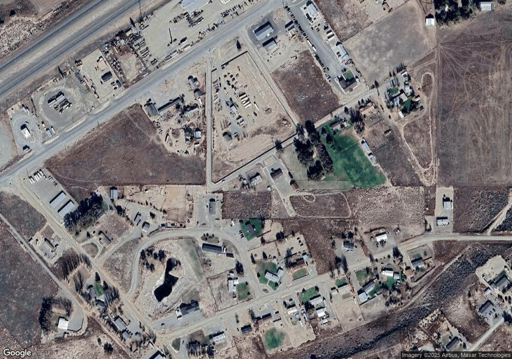
Map
Nearby Homes
- 5700 Bird Ln
- 5230 Trousdale Cir
- 5320 Trousdale Cir
- 4080 Golden Circle Dr
- 6140 Venus St
- 4120 Jupiter St
- 6245 Prospect Ave
- 6240 Bonanza Dr
- 6305 Silver Knolls Ct
- 3110 Mercury Ave
- 4140 Bonanza Cir
- 3065 Mars Ave
- 4260 Bonanza Cir
- 4220 Alloy Ct
- 6530 Bonanza Dr
- 0 Westmoreland Rd
- 6520 Bedrock Ct
- 6500 Bedrock Ct
- 5525 W Commander Dr
- 10047314 Mary Way