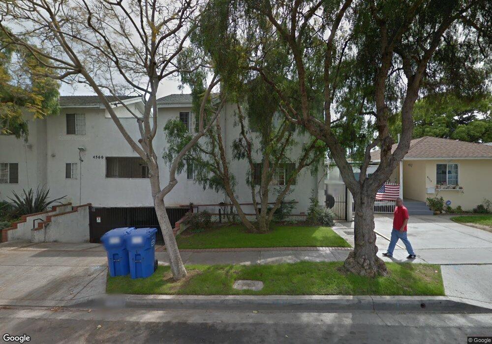
4572 W 172nd St Unit 10 Lawndale, CA 90260
Estimated Value: $666,000 - $775,000
2
Beds
3
Baths
1,210
Sq Ft
$597/Sq Ft
Est. Value
About This Home
This home is located at 4572 W 172nd St Unit 10, Lawndale, CA 90260 and is currently estimated at $721,936, approximately $596 per square foot. 4572 W 172nd St Unit 10 is a home located in Los Angeles County with nearby schools including William Green Elementary School, Jane Addams Middle School, and Lawndale High School.
Ownership History
Date
Name
Owned For
Owner Type
Purchase Details
Closed on
Jan 14, 2005
Sold by
Pournamdari Mohamad and Shafiee Aria
Bought by
Porto Eduardo B
Current Estimated Value
Home Financials for this Owner
Home Financials are based on the most recent Mortgage that was taken out on this home.
Original Mortgage
$280,000
Outstanding Balance
$143,605
Interest Rate
5.99%
Mortgage Type
Stand Alone First
Estimated Equity
$578,331
Purchase Details
Closed on
Dec 21, 1993
Sold by
Tsai Johnny Li Chung
Bought by
Pournamdari Mohamad
Home Financials for this Owner
Home Financials are based on the most recent Mortgage that was taken out on this home.
Original Mortgage
$128,000
Interest Rate
7.29%
Create a Home Valuation Report for This Property
The Home Valuation Report is an in-depth analysis detailing your home's value as well as a comparison with similar homes in the area
Home Values in the Area
Average Home Value in this Area
Purchase History
| Date | Buyer | Sale Price | Title Company |
|---|---|---|---|
| Porto Eduardo B | $350,000 | Investors Title Company | |
| Pournamdari Mohamad | -- | Commonwealth Land Title |
Source: Public Records
Mortgage History
| Date | Status | Borrower | Loan Amount |
|---|---|---|---|
| Open | Porto Eduardo B | $280,000 | |
| Previous Owner | Pournamdari Mohamad | $128,000 | |
| Closed | Porto Eduardo B | $70,000 |
Source: Public Records
Tax History Compared to Growth
Tax History
| Year | Tax Paid | Tax Assessment Tax Assessment Total Assessment is a certain percentage of the fair market value that is determined by local assessors to be the total taxable value of land and additions on the property. | Land | Improvement |
|---|---|---|---|---|
| 2025 | $6,179 | $487,854 | $271,806 | $216,048 |
| 2024 | $6,179 | $478,289 | $266,477 | $211,812 |
| 2023 | $5,845 | $468,911 | $261,252 | $207,659 |
| 2022 | $5,846 | $459,718 | $256,130 | $203,588 |
| 2021 | $5,689 | $450,705 | $251,108 | $199,597 |
| 2019 | $5,473 | $437,339 | $243,661 | $193,678 |
| 2018 | $5,395 | $428,765 | $238,884 | $189,881 |
| 2016 | $4,578 | $375,000 | $209,000 | $166,000 |
| 2015 | $4,349 | $405,927 | $226,160 | $179,767 |
| 2014 | $3,827 | $310,000 | $182,800 | $127,200 |
Source: Public Records
Map
Nearby Homes
- 4600 W 170th St
- 4623 W 171st St
- 17022 Condon Ave
- 17234 Condon Ave
- 4706 W 168th St
- 2750 Artesia Blvd Unit 364
- 2701 Voorhees Ave Unit 3
- 2616 Voorhees Ave Unit 2
- 2621 Gates Ave Unit B
- 2603 Nelson Ave Unit B
- 4711 W 165th St
- 2609 Vanderbilt Ln Unit 4
- 4556 W 164th St
- 4522 W 164th St
- 2518 Curtis Ave Unit 3
- 2719 Grant Ave Unit C
- 4223 Artesia Blvd
- 2517 Curtis Ave
- 2615 Rockefeller Ln
- 2602 Carnegie Ln
- 4566 W 172nd St
- 4566 W 172nd St Unit 10
- 4572 W 172nd St
- 4572 W 172nd St Unit 9
- 4572 W 172nd St Unit 8
- 4572 W 172nd St Unit 7
- 4572 W 172nd St Unit 6
- 4566 W 172nd St Unit 5
- 4566 W 172nd St Unit 4
- 4566 W 172nd St Unit 3
- 4566 W 172nd St Unit 2
- 4566 W 172nd St Unit 1
- 4562 W 172nd St
- 4574 W 172nd St
- 4558 W 172nd St
- 4580 W 172nd St
- 4554 W 172nd St Unit d
- 4554 W 172nd St
- 4536 W 172nd St
- 4550 W 172nd St