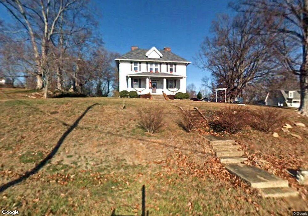
4573 Southfork Cir Morristown, TN 37813
Estimated Value: $277,386 - $381,000
--
Bed
1
Bath
2,432
Sq Ft
$135/Sq Ft
Est. Value
About This Home
This home is located at 4573 Southfork Cir, Morristown, TN 37813 and is currently estimated at $329,347, approximately $135 per square foot. 4573 Southfork Cir is a home located in Hamblen County with nearby schools including Union Heights Elementary School, East Ridge Middle School, and Morristown East High School.
Ownership History
Date
Name
Owned For
Owner Type
Purchase Details
Closed on
Jul 7, 1997
Sold by
Wolfe David M
Bought by
Larry Laplue
Current Estimated Value
Purchase Details
Closed on
Nov 3, 1994
Sold by
Wolfe David M
Bought by
Wolfe Tami Claire
Purchase Details
Closed on
May 17, 1993
Bought by
Wolfe David M
Purchase Details
Closed on
Nov 9, 1987
Bought by
Wolfe David M and Wolfe Kimberly R
Purchase Details
Closed on
Jul 3, 1972
Bought by
Mehaffey Joe and Mehaffey Rebecca
Create a Home Valuation Report for This Property
The Home Valuation Report is an in-depth analysis detailing your home's value as well as a comparison with similar homes in the area
Home Values in the Area
Average Home Value in this Area
Purchase History
| Date | Buyer | Sale Price | Title Company |
|---|---|---|---|
| Larry Laplue | $115,500 | -- | |
| Wolfe Tami Claire | -- | -- | |
| Wolfe David M | -- | -- | |
| Wolfe David M | $41,500 | -- | |
| Mehaffey Joe | -- | -- |
Source: Public Records
Tax History Compared to Growth
Tax History
| Year | Tax Paid | Tax Assessment Tax Assessment Total Assessment is a certain percentage of the fair market value that is determined by local assessors to be the total taxable value of land and additions on the property. | Land | Improvement |
|---|---|---|---|---|
| 2024 | $922 | $46,825 | $10,800 | $36,025 |
| 2023 | $922 | $46,825 | $0 | $0 |
| 2022 | $922 | $46,825 | $10,800 | $36,025 |
| 2021 | $922 | $46,825 | $10,800 | $36,025 |
| 2020 | $922 | $46,825 | $10,800 | $36,025 |
| 2019 | $930 | $43,650 | $10,800 | $32,850 |
| 2018 | $930 | $43,650 | $10,800 | $32,850 |
| 2017 | $930 | $43,650 | $10,800 | $32,850 |
| 2016 | $869 | $43,650 | $10,800 | $32,850 |
| 2015 | $808 | $43,650 | $10,800 | $32,850 |
| 2014 | -- | $43,650 | $10,800 | $32,850 |
| 2013 | -- | $47,500 | $0 | $0 |
Source: Public Records
Map
Nearby Homes
- 848 Spencer Hale Rd
- 4207 Clyde Thomas Rd
- 4996 Saint Paul Rd
- 5056 Spencer Hale Rd
- 0 Tbd River View Dr Unit Lot@WP001
- 236 Sequoyah Dr
- 1163 Nathan Dr
- 58/Ac Tbd River View Dr
- 58/Ac Tbd River View Dr Unit 2
- 5474 Saint Paul Rd
- TBD Buell Chapel Rd
- 1500 S Davy Crockett Pkwy
- 5262 Buell Chapel Rd
- 2036 River View Dr
- 2034 River View Dr
- 2034 River View Dr Unit 1
- 1051 Wilson Hale Rd
- 5704 Long Creek Rd
- 0 Springvale Rd
- 2945 Enka Hwy
- 4581 Southfork Cir
- 4510 Southfork Cir
- 4595 Southfork Cir
- 4545 Southfork Cir
- 4545 Southfork Cir
- 4551 Southfork Cir
- 4603 Southfork Cir
- 4475 Spencer Hale Rd
- 4504 Southfork Cir
- 4600 Southfork Cir
- 4621 Southfork Cir
- 4349 Spencer Hale Rd
- 4343 Spencer Hale Rd
- 4634 Southfork Cir
- 4224 Spencer Hale Rd
- 4557 Spencer Hale Rd
- 4661 Southfork Cir
- 4569 Witt View Dr
- 4562 Spencer Hale Rd
- 4549 Witt View Dr