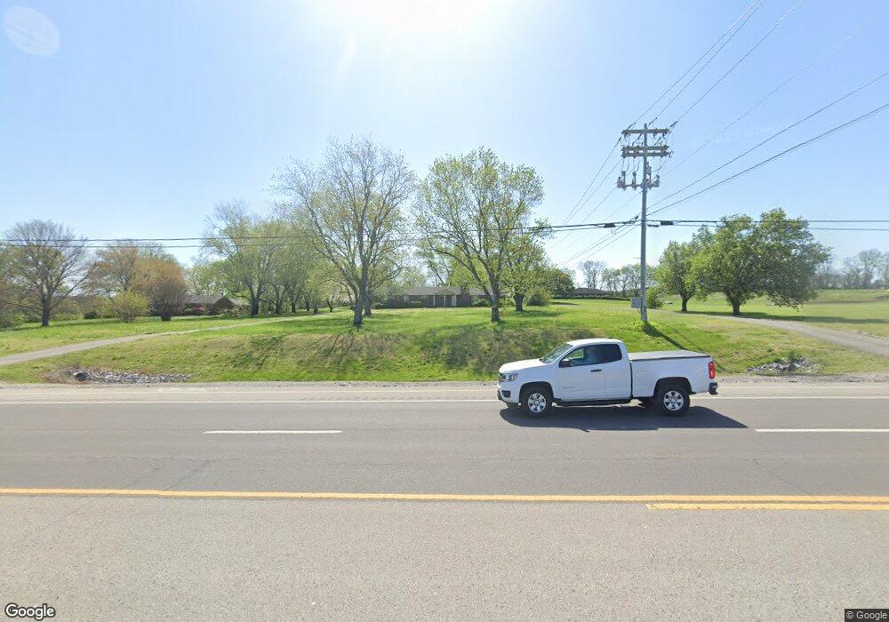
4576 Columbia Pike Thompsons Station, TN 37179
Estimated Value: $570,000 - $1,724,000
--
Bed
2
Baths
1,832
Sq Ft
$638/Sq Ft
Est. Value
About This Home
This home is located at 4576 Columbia Pike, Thompsons Station, TN 37179 and is currently estimated at $1,169,543, approximately $638 per square foot. 4576 Columbia Pike is a home located in Williamson County with nearby schools including Thompson's Station Middle School and Primrose School of Spring Hill.
Ownership History
Date
Name
Owned For
Owner Type
Purchase Details
Closed on
Nov 17, 2016
Sold by
Owens Earl H
Bought by
State Of Tennessee
Current Estimated Value
Purchase Details
Closed on
Oct 31, 2002
Sold by
Graves Luther E and Graves Minnie A
Bought by
Owens Earl H
Home Financials for this Owner
Home Financials are based on the most recent Mortgage that was taken out on this home.
Original Mortgage
$164,800
Interest Rate
7.5%
Mortgage Type
Purchase Money Mortgage
Create a Home Valuation Report for This Property
The Home Valuation Report is an in-depth analysis detailing your home's value as well as a comparison with similar homes in the area
Home Values in the Area
Average Home Value in this Area
Purchase History
| Date | Buyer | Sale Price | Title Company |
|---|---|---|---|
| State Of Tennessee | $68,750 | None Available | |
| Owens Earl H | $206,000 | -- |
Source: Public Records
Mortgage History
| Date | Status | Borrower | Loan Amount |
|---|---|---|---|
| Previous Owner | Owens Earl H | $164,800 |
Source: Public Records
Tax History Compared to Growth
Tax History
| Year | Tax Paid | Tax Assessment Tax Assessment Total Assessment is a certain percentage of the fair market value that is determined by local assessors to be the total taxable value of land and additions on the property. | Land | Improvement |
|---|---|---|---|---|
| 2024 | $5,044 | $254,375 | $198,000 | $56,375 |
| 2023 | $5,044 | $254,375 | $198,000 | $56,375 |
| 2022 | $5,044 | $254,375 | $198,000 | $56,375 |
| 2021 | $5,044 | $254,375 | $198,000 | $56,375 |
| 2020 | $1,993 | $85,825 | $30,925 | $54,900 |
| 2019 | $1,674 | $72,050 | $30,925 | $41,125 |
| 2018 | $1,623 | $72,050 | $30,925 | $41,125 |
| 2017 | $1,609 | $72,050 | $30,925 | $41,125 |
| 2016 | $1,649 | $74,875 | $33,750 | $41,125 |
| 2015 | -- | $62,675 | $25,950 | $36,725 |
| 2014 | -- | $62,675 | $25,950 | $36,725 |
Source: Public Records
Map
Nearby Homes
- 2013 Hector Dr
- 4093 Kathie Dr
- 3977 Kathie Dr
- 3981 Kathie Dr
- 3985 Kathie Dr
- 3989 Kathie Dr
- 4077 Kathie Dr
- 3993 Kathie Dr
- 4061 Kathie Dr
- 4049 Kathie Dr
- 4030 Kathie Dr
- 1495 Channing Dr
- 4034 Kathie Dr
- 2528 Westerham Way
- 2339 Redwood Trail
- 2604 Westerham Way
- 3078 Allenwood
- 3062 Allenwood Dr
- 1936 Silver Fox Rd
- 3221 Knotts Dr
- 4570 Columbia Pike
- 4584 Columbia Pike
- 4001 Kathie Dr
- 4590 Columbia Pike
- 0 Bethesda Road ~ Tract Unit 2 1656239
- 0 Wilkes Ln Unit 1635939
- 4705 Wild Turkey (Pvt) Ln
- 4758 Harpeth-Peyt Rd
- 0 Bethesda Road ~ Tract #2
- 2121 Littlestone Dr
- 2116 Littlestone Dr
- 2100 English Garden Way
- 1688 Lewisburg Pike
- 2638 Critz Ln
- 2625 Critz Ln
- 4700 Columbia Pike
- 4026 Kathie Dr
- 4549 Columbia Pike
- 4626 Columbia Pike
- 4624 Columbia Pike