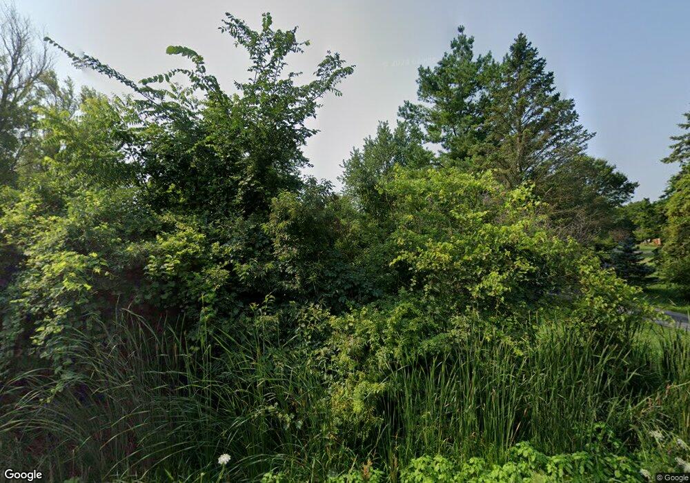
4576 Dauncy Rd Flat Rock, MI 48134
Berlin Township NeighborhoodEstimated Value: $131,000 - $500,000
3
Beds
2
Baths
1,500
Sq Ft
$230/Sq Ft
Est. Value
About This Home
This home is located at 4576 Dauncy Rd, Flat Rock, MI 48134 and is currently estimated at $344,577, approximately $229 per square foot. 4576 Dauncy Rd is a home located in Monroe County with nearby schools including Airport Senior High School.
Ownership History
Date
Name
Owned For
Owner Type
Purchase Details
Closed on
Oct 6, 2020
Sold by
Dagger Cynthia L
Bought by
Dagger Cynthia L and Andring William
Current Estimated Value
Purchase Details
Closed on
May 15, 1996
Sold by
Ackerman William A
Bought by
Dagger William J and Dagger Cynthia
Home Financials for this Owner
Home Financials are based on the most recent Mortgage that was taken out on this home.
Original Mortgage
$70,000
Interest Rate
7.86%
Mortgage Type
New Conventional
Create a Home Valuation Report for This Property
The Home Valuation Report is an in-depth analysis detailing your home's value as well as a comparison with similar homes in the area
Home Values in the Area
Average Home Value in this Area
Purchase History
| Date | Buyer | Sale Price | Title Company |
|---|---|---|---|
| Dagger Cynthia L | -- | None Available | |
| Dagger William J | $171,000 | -- |
Source: Public Records
Mortgage History
| Date | Status | Borrower | Loan Amount |
|---|---|---|---|
| Closed | Dagger William J | $70,000 |
Source: Public Records
Tax History Compared to Growth
Tax History
| Year | Tax Paid | Tax Assessment Tax Assessment Total Assessment is a certain percentage of the fair market value that is determined by local assessors to be the total taxable value of land and additions on the property. | Land | Improvement |
|---|---|---|---|---|
| 2025 | $2,685 | $163,800 | $24,770 | $139,030 |
| 2024 | $1,122 | $140,800 | $0 | $0 |
| 2023 | $1,069 | $99,300 | $0 | $0 |
| 2022 | $2,443 | $99,300 | $0 | $0 |
| 2021 | $2,354 | $126,000 | $0 | $0 |
| 2020 | $3,279 | $107,700 | $0 | $0 |
| 2019 | $2,233 | $107,700 | $0 | $0 |
| 2018 | $2,211 | $110,000 | $0 | $0 |
| 2017 | $2,087 | $97,400 | $0 | $0 |
| 2016 | $2,127 | $97,400 | $0 | $0 |
| 2015 | $2,050 | $83,333 | $0 | $0 |
| 2014 | $1,983 | $83,333 | $0 | $0 |
| 2013 | -- | $80,871 | $0 | $0 |
Source: Public Records
Map
Nearby Homes
- 3713 Watermill Ln
- 24680 Huron River Dr
- 24664 E Huron River Dr
- 3656 Mcintosh Ln
- 29715 Walnut St
- 13472 Mapleview St
- 0 Huron River Dr Unit 20251015696
- 13463 Pear St
- 13455 Pear St
- 29614 Magnolia Dr
- 3518 Spring St
- 29316 Sheeks Blvd S
- 29456 Walnut St
- 13515 Apple St
- 26015 E Huron River Dr
- 29336 Evergreen St
- 3449 Berry Dr
- 29669 Red Cedar Dr
- 4064 Will Carleton Rd
- 29593 Red Cedar Dr
