4578 Tomahawk Point Rd Duluth, MN 55803
Estimated Value: $581,000 - $751,963
Studio
--
Bath
3,640
Sq Ft
$190/Sq Ft
Est. Value
About This Home
This home is located at 4578 Tomahawk Point Rd, Duluth, MN 55803 and is currently estimated at $691,654, approximately $190 per square foot. 4578 Tomahawk Point Rd is a home with nearby schools including Homecroft Elementary School, Ordean East Middle School, and East High School.
Ownership History
Date
Name
Owned For
Owner Type
Purchase Details
Closed on
Jul 30, 2008
Sold by
Wells Management Co Llc
Bought by
Belrose Carter N and Belrose Margaret
Current Estimated Value
Home Financials for this Owner
Home Financials are based on the most recent Mortgage that was taken out on this home.
Original Mortgage
$417,000
Interest Rate
6.42%
Mortgage Type
Purchase Money Mortgage
Create a Home Valuation Report for This Property
The Home Valuation Report is an in-depth analysis detailing your home's value as well as a comparison with similar homes in the area
Purchase History
| Date | Buyer | Sale Price | Title Company |
|---|---|---|---|
| Belrose Carter N | $110,000 | Lakeview |
Source: Public Records
Mortgage History
| Date | Status | Borrower | Loan Amount |
|---|---|---|---|
| Closed | Belrose Carter N | $417,000 |
Source: Public Records
Tax History
| Year | Tax Paid | Tax Assessment Tax Assessment Total Assessment is a certain percentage of the fair market value that is determined by local assessors to be the total taxable value of land and additions on the property. | Land | Improvement |
|---|---|---|---|---|
| 2024 | $6,284 | $583,800 | $57,600 | $526,200 |
| 2023 | $6,284 | $593,500 | $55,300 | $538,200 |
| 2022 | $6,636 | $593,500 | $55,300 | $538,200 |
| 2021 | $6,854 | $498,800 | $47,600 | $451,200 |
| 2020 | $7,034 | $529,500 | $105,000 | $424,500 |
| 2019 | $6,902 | $529,500 | $105,000 | $424,500 |
| 2018 | $6,476 | $529,500 | $105,000 | $424,500 |
| 2017 | $6,608 | $529,600 | $105,100 | $424,500 |
| 2016 | $7,184 | $529,600 | $105,100 | $424,500 |
| 2015 | $6,639 | $530,400 | $113,800 | $416,600 |
| 2014 | $6,639 | $510,600 | $113,800 | $396,800 |
Source: Public Records
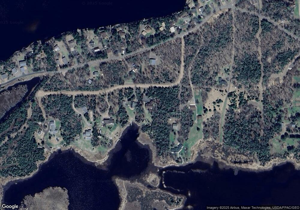
Map
Nearby Homes
- 4537 W Bay View Ln
- 4512 Boulder Dam Rd
- 6944 Bear Island Rd
- 4437 Sunshine Lake Rd
- XXX A Locust Rd
- XXX B Locust Rd
- 4646 W Pioneer Rd
- 7282 Blackberry Ln
- 3974 W Pioneer Rd
- XX37 W Lismore Rd
- 5868 Rice Lake Rd
- 6236 Jean Duluth Rd
- 5524 Driftwood Estates Rd
- 58xx Howard Gnesen Rd
- 3296 N Little Alden Lake Rd
- 5290 Lavaque Rd
- 2980 Roberg Rd
- 5150 Lindahl Rd
- TBD E Briar Lake Dr
- 2783 Lauren Rd
- 4582 Tomahawk Point Rd
- 4610 Island Lake Dr
- 4590 Island Lake Dr
- 4574 Tomahawk Point Rd
- 4584 Island Lake Dr
- 4574 Tomahawk Point Rd
- 45xx Island Lake Dr
- 000 Island Lake Dr
- 4536 Island Lake Dr
- 4620 Island Lake Dr
- 4593 Island Lake Dr
- 4609 Island Lake Dr
- 4617 Island Lake Dr
- 4613 Island Lake Dr
- 4587 Island Lake Dr
- 4623 Island Lake Dr
- 4583 Island Lake Dr
- 4629 Island Lake Dr
- 4581 Island Lake Dr
- 4631 Island Lake Dr
Your Personal Tour Guide
Ask me questions while you tour the home.