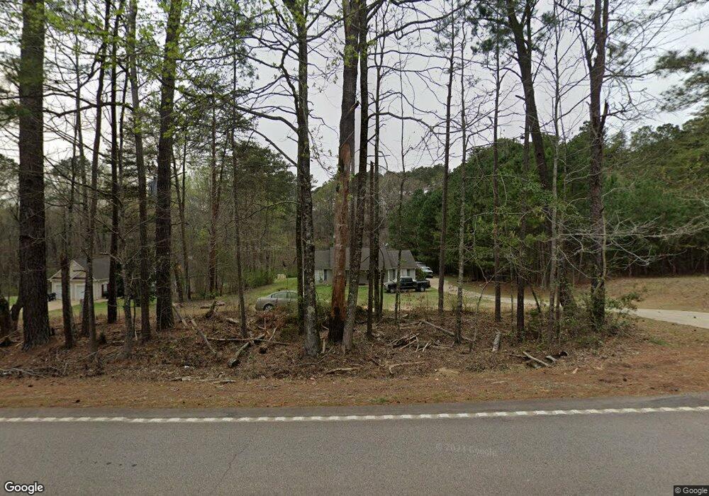
4579 Mooty Bridge Rd Lagrange, GA 30240
Estimated Value: $260,000 - $276,000
3
Beds
2
Baths
1,508
Sq Ft
$178/Sq Ft
Est. Value
About This Home
This home is located at 4579 Mooty Bridge Rd, Lagrange, GA 30240 and is currently estimated at $268,056, approximately $177 per square foot. 4579 Mooty Bridge Rd is a home located in Troup County with nearby schools including Hillcrest Elementary School, Franklin Forest Elementary School, and Hollis Hand Elementary School.
Ownership History
Date
Name
Owned For
Owner Type
Purchase Details
Closed on
Dec 2, 2013
Sold by
Mcalister Christine
Bought by
Mcalister Christine and Mcalister Daniel L
Current Estimated Value
Home Financials for this Owner
Home Financials are based on the most recent Mortgage that was taken out on this home.
Original Mortgage
$81,400
Outstanding Balance
$59,720
Interest Rate
3.75%
Mortgage Type
FHA
Estimated Equity
$208,336
Purchase Details
Closed on
Sep 7, 2010
Sold by
Citimortgage Inc
Bought by
Federal National Mtg Associati
Purchase Details
Closed on
Apr 27, 2004
Sold by
J M Cook Construction Inc
Bought by
Cook James Matthew
Purchase Details
Closed on
Mar 25, 2002
Sold by
James M Cook
Bought by
J M Cook Construction Inc
Purchase Details
Closed on
Feb 7, 2001
Sold by
Regions Bank
Bought by
James M Cook
Purchase Details
Closed on
Feb 6, 2001
Sold by
Regions Bank
Bought by
Regions Bank
Purchase Details
Closed on
May 14, 1998
Sold by
Walston Kathy
Bought by
Regions Bank
Purchase Details
Closed on
Jul 24, 1995
Sold by
Tony Gosdin
Bought by
Walston Kathy
Purchase Details
Closed on
Oct 31, 1992
Sold by
Charter Fed
Bought by
Tony Gosdin
Purchase Details
Closed on
Aug 31, 1990
Sold by
West Ga Dev Inc
Bought by
Charter Fed
Purchase Details
Closed on
Nov 1, 1987
Bought by
West Ga Dev Inc
Purchase Details
Closed on
Jul 28, 1986
Sold by
Timothy E Brumbeloe
Purchase Details
Closed on
Jul 21, 1986
Sold by
Virginia James and Virginia Brumbeloe
Bought by
Timothy E Brumbeloe
Purchase Details
Closed on
Jul 8, 1986
Bought by
Virginia James and Virginia Brumbeloe
Purchase Details
Closed on
Nov 1, 1985
Sold by
Danny Drake
Purchase Details
Closed on
Sep 6, 1985
Sold by
Rosalind Buford and Rosalind Carter
Bought by
Danny Drake
Purchase Details
Closed on
Sep 17, 1982
Sold by
John A Corley
Bought by
Rosalind Buford and Rosalind Carter
Purchase Details
Closed on
Mar 6, 1979
Bought by
John A Corley
Create a Home Valuation Report for This Property
The Home Valuation Report is an in-depth analysis detailing your home's value as well as a comparison with similar homes in the area
Home Values in the Area
Average Home Value in this Area
Purchase History
| Date | Buyer | Sale Price | Title Company |
|---|---|---|---|
| Mcalister Christine | -- | -- | |
| Federal National Mtg Associati | -- | -- | |
| Citimortgage Inc | $107,307 | -- | |
| Cook James Matthew | -- | -- | |
| J M Cook Construction Inc | $15,000 | -- | |
| James M Cook | -- | -- | |
| Regions Bank | -- | -- | |
| Regions Bank | $28,500 | -- | |
| Walston Kathy | $18,000 | -- | |
| Tony Gosdin | $12,000 | -- | |
| Charter Fed | -- | -- | |
| West Ga Dev Inc | -- | -- | |
| -- | -- | -- | |
| Timothy E Brumbeloe | -- | -- | |
| Virginia James | -- | -- | |
| -- | -- | -- | |
| Danny Drake | -- | -- | |
| Rosalind Buford | -- | -- | |
| John A Corley | -- | -- |
Source: Public Records
Mortgage History
| Date | Status | Borrower | Loan Amount |
|---|---|---|---|
| Open | Mcalister Christine | $81,400 |
Source: Public Records
Tax History Compared to Growth
Tax History
| Year | Tax Paid | Tax Assessment Tax Assessment Total Assessment is a certain percentage of the fair market value that is determined by local assessors to be the total taxable value of land and additions on the property. | Land | Improvement |
|---|---|---|---|---|
| 2024 | $1,804 | $76,080 | $12,000 | $64,080 |
| 2023 | $1,708 | $72,560 | $12,000 | $60,560 |
| 2022 | $1,605 | $67,440 | $12,000 | $55,440 |
| 2021 | $1,208 | $50,000 | $4,240 | $45,760 |
| 2020 | $1,081 | $45,800 | $4,000 | $41,800 |
| 2019 | $1,122 | $47,160 | $4,000 | $43,160 |
| 2018 | $1,003 | $43,200 | $4,000 | $39,200 |
| 2017 | $1,243 | $43,200 | $4,000 | $39,200 |
| 2016 | $1,230 | $42,780 | $4,000 | $38,780 |
| 2015 | $1,233 | $42,780 | $4,000 | $38,780 |
| 2014 | $1,173 | $40,738 | $4,000 | $36,738 |
| 2013 | -- | $42,534 | $4,000 | $38,534 |
Source: Public Records
Map
Nearby Homes
- 4555 Mooty Bridge Rd
- 155 Indian Bend Dr
- 183 Indian Bend Dr
- 65 Indian Bend Dr
- 305 Edgemont Dr
- 0 River Club Dr Unit 10311961
- 224 Riverbend Dr
- 151 Hubbard Rd
- 57 Hubbard Rd
- 135 Edgemont Dr Unit LOT 2
- 143 Taylor Len Dr
- 114 Taylor Len Dr
- 116 Firefly Run
- 110 Firefly Run
- 96 Firefly Run
- 147 Wolf Creek Cove
- 114 Copper Creek Dr
- 115 Wolf Creek Cove
- 56 Firefly Run
- 105 Wolf Creek Cove
- 4610 Mooty Bridge Rd
- 45 Lovic Davis Rd
- 4627 Mooty Bridge Rd
- 323 Lovic Davis Rd
- 4652 Mooty Bridge Rd
- 0 Lovic Davis Rd Unit 3266186
- 0 Lovic Davis Rd Unit 2783457
- 0 Lovic Davis Rd Unit 4 8213172
- 0 Lovic Davis Rd Unit 18.12 Ac 8886977
- 0 Lovic Davis Rd Unit 8751112
- 0 Lovic Davis Rd Unit 7503042
- 0 Lovic Davis Rd Unit 8170883
- 0 Lovic Davis Rd Unit 8675815
- 0 Lovic Davis Rd Unit 8684775
- 0 Lovic Davis Rd Unit 8640228
- 85 Lovic Davis Rd
- 219 Lovic Davis Rd
- 80 Lovic Davis Rd
- 244 Lovic Davis Rd
- 311 Lovic Davis Rd