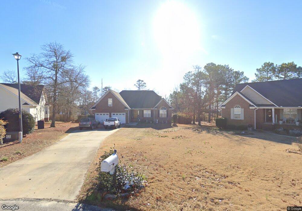
458 Dunbar Dr Lillington, NC 27546
Estimated Value: $283,572 - $301,000
3
Beds
2
Baths
1,927
Sq Ft
$151/Sq Ft
Est. Value
About This Home
This home is located at 458 Dunbar Dr, Lillington, NC 27546 and is currently estimated at $290,393, approximately $150 per square foot. 458 Dunbar Dr is a home located in Harnett County with nearby schools including Anderson Creek Primary School, South Harnett Elementary School, and Western Harnett Middle School.
Ownership History
Date
Name
Owned For
Owner Type
Purchase Details
Closed on
Apr 18, 2012
Sold by
Durgan Joemann and Durgan Ivy D
Bought by
Durgan Ivy D
Current Estimated Value
Purchase Details
Closed on
Jul 19, 2006
Sold by
Bestler Patrick W and Bestler Dayra L
Bought by
Abling Dutch W and Abling Bobbie J
Home Financials for this Owner
Home Financials are based on the most recent Mortgage that was taken out on this home.
Original Mortgage
$26,200
Interest Rate
6.54%
Mortgage Type
Future Advance Clause Open End Mortgage
Create a Home Valuation Report for This Property
The Home Valuation Report is an in-depth analysis detailing your home's value as well as a comparison with similar homes in the area
Home Values in the Area
Average Home Value in this Area
Purchase History
| Date | Buyer | Sale Price | Title Company |
|---|---|---|---|
| Durgan Ivy D | -- | None Available | |
| Abling Dutch W | $186,000 | None Available |
Source: Public Records
Mortgage History
| Date | Status | Borrower | Loan Amount |
|---|---|---|---|
| Previous Owner | Abling Dutch W | $26,200 |
Source: Public Records
Tax History Compared to Growth
Tax History
| Year | Tax Paid | Tax Assessment Tax Assessment Total Assessment is a certain percentage of the fair market value that is determined by local assessors to be the total taxable value of land and additions on the property. | Land | Improvement |
|---|---|---|---|---|
| 2025 | $1,649 | $223,160 | $0 | $0 |
| 2024 | $1,649 | $223,160 | $0 | $0 |
| 2023 | $1,649 | $223,160 | $0 | $0 |
| 2022 | $1,440 | $223,160 | $0 | $0 |
| 2021 | $1,440 | $157,520 | $0 | $0 |
| 2020 | $1,440 | $157,520 | $0 | $0 |
| 2019 | $1,425 | $157,520 | $0 | $0 |
| 2018 | $1,425 | $157,520 | $0 | $0 |
| 2017 | $1,425 | $157,520 | $0 | $0 |
| 2016 | $1,521 | $168,690 | $0 | $0 |
| 2015 | $1,521 | $168,690 | $0 | $0 |
| 2014 | $1,521 | $168,690 | $0 | $0 |
Source: Public Records
Map
Nearby Homes
- 412 Dunbar Dr
- 77 Teak Wood Ct
- 1234 Micahs Way N
- 73 Harborwood St
- Wayfare Plan at Creekside Oaks North
- Embark Plan at Creekside Oaks North
- Prelude Plan at Creekside Oaks North
- Freelance Plan at Creekside Oaks North
- 296 Greenbay St
- Engage Plan at Creekside Oaks North
- 284 Harborwood St
- 293 Harborwood St
- 91 Harborwood St
- 352 Wood Point Dr
- 251 Harborwood St
- 85 Heatherspring Way
- 447 Dunbar Dr
- 448 Dunbar Dr
- 438 Dunbar Dr
- 41 Nut Tree Cir
- 96 Woodshire Dr
- 419 Dunbar Dr
- 56 Woodshire Dr
- 108 Woodshire Dr
- 45 Nut Tree Cir
- 428 Dunbar Dr
- 31 Nut Tree Cir
- 126 Woodshire Dr
- 48 Advance Dr
- 48 Advance Dr
- 110 Cottonade Cir
- 381 Dunbar Dr
- 78 Advance Dr
- 62 Advance Dr
- 144 Woodshire Dr
- 40 Nut Tree Cir