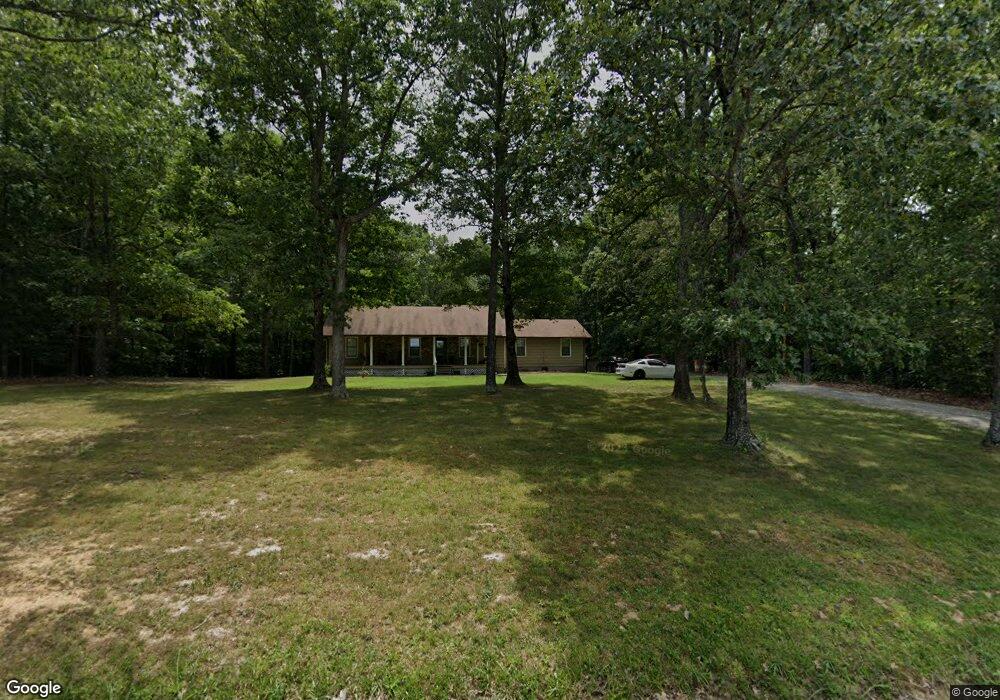
4580 Saint Paul Rd Woodlawn, TN 37191
Estimated Value: $288,897 - $332,000
--
Bed
2
Baths
1,544
Sq Ft
$204/Sq Ft
Est. Value
About This Home
This home is located at 4580 Saint Paul Rd, Woodlawn, TN 37191 and is currently estimated at $314,724, approximately $203 per square foot. 4580 Saint Paul Rd is a home located in Montgomery County with nearby schools including Woodlawn Elementary School, New Providence Middle School, and Northwest High School.
Ownership History
Date
Name
Owned For
Owner Type
Purchase Details
Closed on
Aug 4, 1999
Sold by
Secretary Of Veterans Affa
Bought by
Butts Richard A
Current Estimated Value
Purchase Details
Closed on
Apr 27, 1999
Sold by
First Federal Savings Bank
Bought by
Secretary Of Veterans Affa
Purchase Details
Closed on
Apr 20, 1999
Sold by
Bruorton Warren G
Bought by
First Federal Savings Bank
Purchase Details
Closed on
Nov 8, 1996
Sold by
Sandner Tom
Bought by
Bruorton Warren G
Purchase Details
Closed on
Jun 30, 1994
Sold by
Schultz Jeffery D
Bought by
Sandner Tom
Create a Home Valuation Report for This Property
The Home Valuation Report is an in-depth analysis detailing your home's value as well as a comparison with similar homes in the area
Home Values in the Area
Average Home Value in this Area
Purchase History
| Date | Buyer | Sale Price | Title Company |
|---|---|---|---|
| Butts Richard A | $92,000 | -- | |
| Secretary Of Veterans Affa | -- | -- | |
| First Federal Savings Bank | $81,377 | -- | |
| Bruorton Warren G | $79,144 | -- | |
| Sandner Tom | -- | -- |
Source: Public Records
Tax History Compared to Growth
Tax History
| Year | Tax Paid | Tax Assessment Tax Assessment Total Assessment is a certain percentage of the fair market value that is determined by local assessors to be the total taxable value of land and additions on the property. | Land | Improvement |
|---|---|---|---|---|
| 2024 | $1,659 | $79,000 | $0 | $0 |
| 2023 | $1,659 | $45,900 | $0 | $0 |
| 2022 | $1,372 | $45,900 | $0 | $0 |
| 2021 | $1,372 | $45,900 | $0 | $0 |
| 2020 | $1,409 | $45,900 | $0 | $0 |
| 2019 | $1,372 | $45,900 | $0 | $0 |
| 2018 | $1,212 | $32,375 | $0 | $0 |
| 2017 | $1,212 | $39,475 | $0 | $0 |
| 2016 | $1,212 | $39,475 | $0 | $0 |
| 2015 | $1,174 | $39,475 | $0 | $0 |
| 2014 | $1,174 | $39,475 | $0 | $0 |
| 2013 | $1,153 | $36,725 | $0 | $0 |
Source: Public Records
Map
Nearby Homes
- 4470 Saint Paul Rd
- 0 Seven Mile Ridge Rd
- 150 Seven Mile Ridge Rd
- 0 Lewis Atkins Rd Unit RTC2925975
- 3350 Knight Rd
- 2550 Indian Mound Rd
- 22 Indian Mound Rd
- 205 Pumpkin Valley Rd
- 4660 Dover Rd
- 7 Mile Ridge Rd
- 4920 Dover Rd
- 4888 Dover Rd
- 2895 Cooper Creek Rd
- 742 Moore Hollow Rd
- 0 Oakwood Unit RTC3000220
- 1075 Linder Ridge Dr
- 3550 Oakwood Rd
- 18 Cooper Creek Rd
- 3404 Dover Rd
- 34 Backwoods Estates
- 4590 Saint Paul Rd
- 4570 Saint Paul Rd
- 4579 Saint Paul Rd
- 4550 Saint Paul Rd
- 4651 Saint Paul Rd
- 4510 Saint Paul Rd
- 4750 Milliken Rd
- 4679 Saint Paul Rd
- 4695 Saint Paul Rd
- 4689 Saint Paul Rd
- 4800 Saint Paul Rd
- 4830 Saint Paul Rd
- 4400 Saint Paul Rd
- 4681 Saint Paul Rd
- 4389 Saint Paul Rd
- 6 Saint Paul Rd
- 5 Saint Paul Rd
- 4 Saint Paul Rd
- 2 Saint Paul Rd