4583 N Browning Bridge Rd Gainesville, GA 30506
Estimated Value: $467,714 - $693,000
3
Beds
3
Baths
3,142
Sq Ft
$178/Sq Ft
Est. Value
About This Home
This home is located at 4583 N Browning Bridge Rd, Gainesville, GA 30506 and is currently estimated at $559,929, approximately $178 per square foot. 4583 N Browning Bridge Rd is a home with nearby schools including Wauka Mountain Elementary School, North Hall Middle School, and North Hall High School.
Ownership History
Date
Name
Owned For
Owner Type
Purchase Details
Closed on
Oct 8, 2019
Sold by
Digeronimo Anthony
Bought by
Beavercreek Farm & Estate Llc
Current Estimated Value
Purchase Details
Closed on
Feb 21, 2017
Sold by
Anne and Anne Marie
Bought by
Digeronimo Anthony M
Purchase Details
Closed on
Dec 30, 2005
Sold by
Beavers W Wade
Bought by
Wwb Family Trust
Purchase Details
Closed on
Mar 27, 2003
Sold by
Kowalske Richard F and Kowalske Brenda
Bought by
Ruby-Forrest Ltd
Create a Home Valuation Report for This Property
The Home Valuation Report is an in-depth analysis detailing your home's value as well as a comparison with similar homes in the area
Home Values in the Area
Average Home Value in this Area
Purchase History
| Date | Buyer | Sale Price | Title Company |
|---|---|---|---|
| Beavercreek Farm & Estate Llc | -- | -- | |
| Digeronimo Anthony M | $50,000 | -- | |
| Wwb Family Trust | -- | -- | |
| Ruby-Forrest Ltd | $495,000 | -- |
Source: Public Records
Tax History Compared to Growth
Tax History
| Year | Tax Paid | Tax Assessment Tax Assessment Total Assessment is a certain percentage of the fair market value that is determined by local assessors to be the total taxable value of land and additions on the property. | Land | Improvement |
|---|---|---|---|---|
| 2024 | $2,921 | $115,360 | $5,840 | $109,520 |
| 2023 | $2,560 | $128,920 | $5,840 | $123,080 |
| 2022 | $2,662 | $97,680 | $5,840 | $91,840 |
| 2021 | $2,254 | $80,280 | $5,840 | $74,440 |
| 2020 | $2,401 | $101,960 | $16,600 | $85,360 |
| 2019 | -- | $83,400 | $16,600 | $66,800 |
| 2018 | $2,378 | $93,120 | $16,600 | $76,520 |
| 2017 | $5,207 | $213,640 | $136,760 | $76,880 |
| 2016 | $5,954 | $213,640 | $136,760 | $76,880 |
Source: Public Records
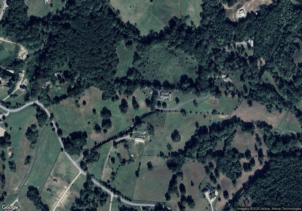
Map
Nearby Homes
- 4603 Clarks Bridge Rd
- 4425 Clarks Bridge Rd
- 4368 Ed Henson Rd
- 5613 Bogus Rd
- 4449 Highland Gate Pkwy
- 5163 Bogus Rd
- 4542 Highland Gate Pkwy Unit 63
- 4542 Highland Gate Pkwy
- 4478 Highland Gate Pkwy Unit 78/79
- 4478 Highland Gate Pkwy
- 4502 Highland Gate Pkwy Unit 73/74
- 4502 Highland Gate Pkwy
- 4008 Tree Line Ct
- 3350 Lanier Cir
- 4050 Skyline Dr
- 3978 Pine Shore Cir
- 0 C Rogers Rd Unit 10570308
- 3936 Pineshore Cir
- 3925 Pine Shore Cir
- 4160 Topsail Ridge
- 4601 N Browning Bridge Rd
- 4659 N Browning Bridge Rd
- 5046 Hulsey Ln
- 4641 N Browning Bridge Rd
- 4873 Chester Smith Rd
- 5102 Hulsey Ln
- 5089 Hulsey Ln
- 4640 N Browning Bridge Rd
- 4675 N Browning Bridge Rd
- 4865 Chester Smith Rd
- 4452 Clarks Bridge Rd
- 4543 N Browning Bridge Rd
- 5073 Hulsey Ln
- 5034 Hulsey Ln
- 4676 N Browning Bridge Rd
- 4566 Clarks Bridge Rd
- 4515 N Browning Bridge Rd
- 4832 Glade Farm Rd
- 4507 N Browning Bridge Rd
- 4836 Glade Farm Rd