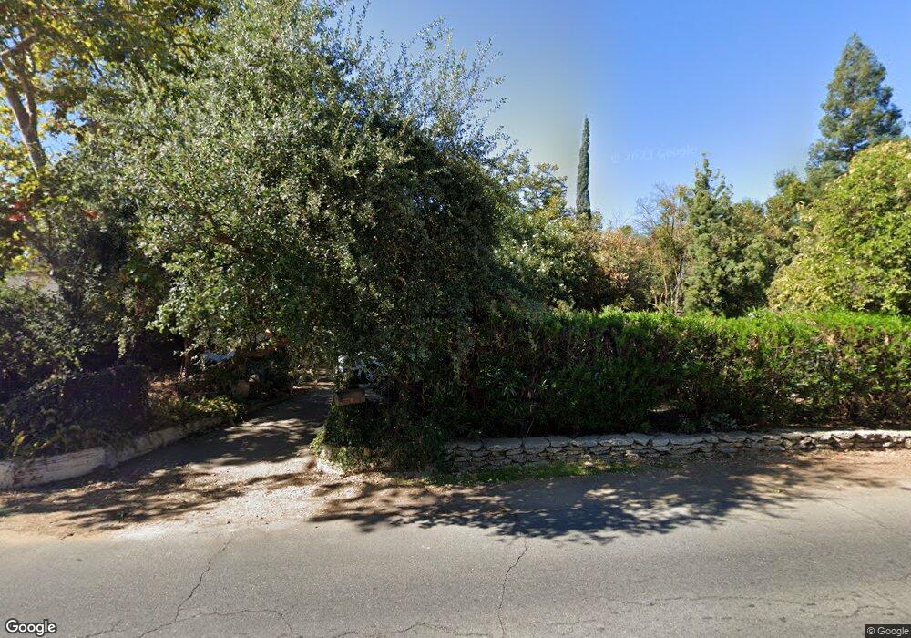
4585 N Maroa Ave Fresno, CA 93704
Fig Garden NeighborhoodEstimated Value: $537,844 - $586,000
3
Beds
1
Bath
1,999
Sq Ft
$279/Sq Ft
Est. Value
About This Home
This home is located at 4585 N Maroa Ave, Fresno, CA 93704 and is currently estimated at $557,461, approximately $278 per square foot. 4585 N Maroa Ave is a home located in Fresno County with nearby schools including Powers-Ginsburg Elementary, Bullard High School, and Endeavor Charter.
Ownership History
Date
Name
Owned For
Owner Type
Purchase Details
Closed on
Aug 1, 1996
Sold by
Brien Atanassov Nick V Colman Ethel O
Bought by
Young Barbara L
Current Estimated Value
Home Financials for this Owner
Home Financials are based on the most recent Mortgage that was taken out on this home.
Original Mortgage
$142,850
Outstanding Balance
$11,312
Interest Rate
8.23%
Estimated Equity
$546,149
Create a Home Valuation Report for This Property
The Home Valuation Report is an in-depth analysis detailing your home's value as well as a comparison with similar homes in the area
Home Values in the Area
Average Home Value in this Area
Purchase History
| Date | Buyer | Sale Price | Title Company |
|---|---|---|---|
| Young Barbara L | $159,000 | Central Title Company |
Source: Public Records
Mortgage History
| Date | Status | Borrower | Loan Amount |
|---|---|---|---|
| Open | Young Barbara L | $142,850 |
Source: Public Records
Tax History Compared to Growth
Tax History
| Year | Tax Paid | Tax Assessment Tax Assessment Total Assessment is a certain percentage of the fair market value that is determined by local assessors to be the total taxable value of land and additions on the property. | Land | Improvement |
|---|---|---|---|---|
| 2025 | $4,623 | $258,526 | $81,420 | $177,106 |
| 2023 | $4,507 | $248,489 | $78,259 | $170,230 |
| 2022 | $4,424 | $243,618 | $76,725 | $166,893 |
| 2021 | $4,249 | $238,842 | $75,221 | $163,621 |
| 2020 | $4,167 | $236,394 | $74,450 | $161,944 |
| 2019 | $4,103 | $231,760 | $72,991 | $158,769 |
| 2018 | $3,981 | $227,216 | $71,560 | $155,656 |
| 2017 | $3,890 | $222,761 | $70,157 | $152,604 |
| 2016 | $3,762 | $218,394 | $68,782 | $149,612 |
| 2015 | $3,693 | $215,114 | $67,749 | $147,365 |
| 2014 | $3,633 | $210,901 | $66,422 | $144,479 |
Source: Public Records
Map
Nearby Homes
- 825 E Indianapolis Ave
- 1216 E Pico Ave
- 4689 N Van Ness Blvd
- 4355 N College Ave
- 4834 N Wishon Ave
- 4617 N Glenn Ave
- 705 E Alamos Ave
- 1448 E Gettysburg Ave
- 4633 N Glenn Ave
- 1438 E Rialto Ave
- 336 E Gettysburg Ave
- 4480 N Palm Ave
- 1408 E Richert Ave
- 4915 N Wishon Ct
- 4481 N Palm Ave
- 1444 E Swift Ave
- 4434 N Blackstone Ave
- 4175 N Van Ness Blvd
- 4843 N Palm Ave
- 4666 N Harrison Ave
- 4575 N Maroa Ave
- 847 E Gettysburg Ave
- 4565 N Maroa Ave
- 4586 N Maroa Ave
- 827 E Gettysburg Ave
- 820 E Gettysburg Ave
- 4623 N Maroa Ave
- 4549 N Maroa Ave
- 909 E Gettysburg Ave
- 805 E Gettysburg Ave
- 924 E Gettysburg Ave
- 4635 N Maroa Ave
- 4562 N Maroa Ave
- 750 E Gettysburg Ave
- 4531 N Maroa Ave
- 755 E Gettysburg Ave
- 910 E Pico Ave
- 929 E Gettysburg Ave
- 4548 N Maroa Ave
- 940 E Gettysburg Ave
