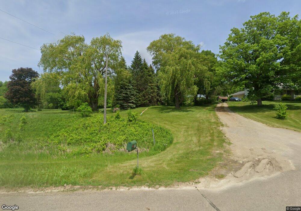
4586 Kenyon Blvd Faribault, MN 55021
Estimated Value: $526,000 - $562,000
4
Beds
2
Baths
1,741
Sq Ft
$312/Sq Ft
Est. Value
About This Home
This home is located at 4586 Kenyon Blvd, Faribault, MN 55021 and is currently estimated at $542,670, approximately $311 per square foot. 4586 Kenyon Blvd is a home located in Rice County with nearby schools including Roosevelt Elementary School, Faribault Middle School, and Faribault Senior High School.
Ownership History
Date
Name
Owned For
Owner Type
Purchase Details
Closed on
Jun 10, 2025
Sold by
Hollaway Cheri A and Hollaway Jeffrey R
Bought by
Francis Sean Elden
Current Estimated Value
Home Financials for this Owner
Home Financials are based on the most recent Mortgage that was taken out on this home.
Original Mortgage
$464,100
Outstanding Balance
$444,421
Interest Rate
6.76%
Mortgage Type
New Conventional
Estimated Equity
$98,249
Create a Home Valuation Report for This Property
The Home Valuation Report is an in-depth analysis detailing your home's value as well as a comparison with similar homes in the area
Purchase History
| Date | Buyer | Sale Price | Title Company |
|---|---|---|---|
| Francis Sean Elden | $546,000 | None Listed On Document |
Source: Public Records
Mortgage History
| Date | Status | Borrower | Loan Amount |
|---|---|---|---|
| Open | Francis Sean Elden | $464,100 |
Source: Public Records
Tax History
| Year | Tax Paid | Tax Assessment Tax Assessment Total Assessment is a certain percentage of the fair market value that is determined by local assessors to be the total taxable value of land and additions on the property. | Land | Improvement |
|---|---|---|---|---|
| 2025 | $3,256 | $444,600 | $177,800 | $266,800 |
| 2024 | $3,256 | $409,700 | $157,400 | $252,300 |
| 2023 | $2,942 | $409,700 | $157,400 | $252,300 |
| 2022 | $2,762 | $369,000 | $146,600 | $222,400 |
| 2021 | $2,716 | $333,900 | $154,300 | $179,600 |
| 2020 | $2,474 | $328,000 | $151,800 | $176,200 |
| 2019 | $2,398 | $308,800 | $151,800 | $157,000 |
| 2018 | $2,316 | $297,600 | $151,800 | $145,800 |
| 2017 | $1,544 | $282,700 | $151,800 | $130,900 |
| 2016 | $1,506 | $288,700 | $158,800 | $129,900 |
| 2015 | $1,412 | $279,700 | $158,800 | $120,900 |
| 2014 | -- | $277,100 | $158,800 | $118,300 |
Source: Public Records
Map
Nearby Homes
- 905 Orchard Heights Ct
- 1105 2nd St SE
- 14xx Division St E
- 207 Shumway Ave
- 210 6th Ave NE
- 501 Seabury Ln
- 210 5th Ave NE
- 1107 Shumway Ct
- 2110 Goldenray Dr
- 227 3rd Ave NE
- 2140 Violet Ln
- 1195 Ivy Way
- 2038 Legacy Dr
- 15 1st St SE
- 118 1st St SW
- 1270 Aldrich Way
- 945 Rice St
- 118 2nd Ave NW
- 1406 Albers Path
- 1322 1st Ave NE
- 4751 Kenyon Blvd
- 4675 Kenyon Blvd
- 20365 Davis Ave
- 4988 Kenyon Blvd
- 4969 Kenyon Blvd
- 20055 Davis Ave
- 20084 Davis Ave
- 4672 Kenyon Blvd
- 20221 Davis Ave
- 4364 204th St E
- 21211 Davis Ave
- 4062 Kenyon Blvd
- 21245 Davis Ave
- 4029 Kenyon Blvd
- 21269 Davis Ave
- 4025 Kenyon Blvd
- 21267 Davis Ave
- 21240 Davis Ave
- 5240 Kenyon Blvd
- 4354 204th St E
Your Personal Tour Guide
Ask me questions while you tour the home.