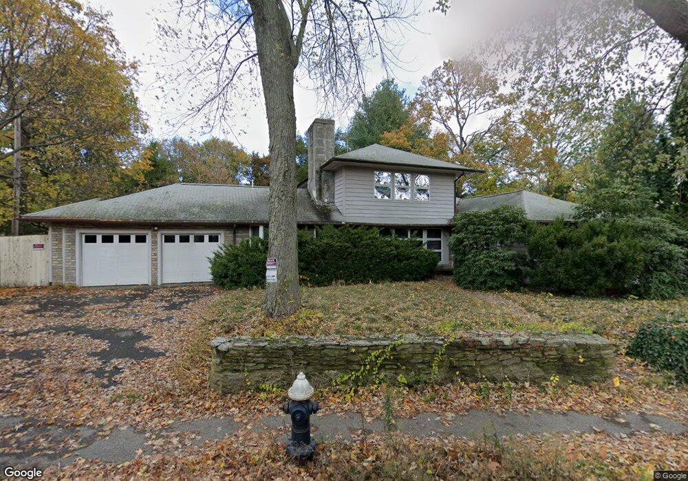
459 Heath St Chestnut Hill, MA 02467
Chestnut Hill NeighborhoodEstimated Value: $1,790,000 - $2,831,000
5
Beds
5
Baths
2,979
Sq Ft
$840/Sq Ft
Est. Value
About This Home
This home is located at 459 Heath St, Chestnut Hill, MA 02467 and is currently estimated at $2,503,151, approximately $840 per square foot. 459 Heath St is a home located in Norfolk County with nearby schools including Heath Elementary School, Brookline High School, and Brimmer & May School.
Ownership History
Date
Name
Owned For
Owner Type
Purchase Details
Closed on
Apr 30, 1990
Sold by
Adler Jeffrey D Est
Bought by
Mulyanto Samuel
Current Estimated Value
Home Financials for this Owner
Home Financials are based on the most recent Mortgage that was taken out on this home.
Original Mortgage
$3,000
Interest Rate
10.26%
Mortgage Type
Purchase Money Mortgage
Purchase Details
Closed on
Sep 21, 1987
Sold by
Niksa Stanley M
Bought by
Adler Jeffrey D
Home Financials for this Owner
Home Financials are based on the most recent Mortgage that was taken out on this home.
Original Mortgage
$250,000
Interest Rate
10.35%
Mortgage Type
Purchase Money Mortgage
Create a Home Valuation Report for This Property
The Home Valuation Report is an in-depth analysis detailing your home's value as well as a comparison with similar homes in the area
Home Values in the Area
Average Home Value in this Area
Purchase History
| Date | Buyer | Sale Price | Title Company |
|---|---|---|---|
| Mulyanto Samuel | $380,000 | -- | |
| Adler Jeffrey D | $395,000 | -- |
Source: Public Records
Mortgage History
| Date | Status | Borrower | Loan Amount |
|---|---|---|---|
| Open | Adler Jeffrey D | $770,000 | |
| Closed | Adler Jeffrey D | $3,000 | |
| Previous Owner | Adler Jeffrey D | $250,000 |
Source: Public Records
Tax History
| Year | Tax Paid | Tax Assessment Tax Assessment Total Assessment is a certain percentage of the fair market value that is determined by local assessors to be the total taxable value of land and additions on the property. | Land | Improvement |
|---|---|---|---|---|
| 2025 | $23,273 | $2,358,000 | $1,154,400 | $1,203,600 |
| 2024 | $22,486 | $2,301,500 | $1,110,000 | $1,191,500 |
| 2023 | $20,571 | $2,063,300 | $925,100 | $1,138,200 |
| 2022 | $20,024 | $1,965,100 | $881,100 | $1,084,000 |
| 2021 | $18,517 | $1,889,500 | $847,200 | $1,042,300 |
| 2020 | $16,977 | $1,796,500 | $770,200 | $1,026,300 |
| 2019 | $16,031 | $1,710,900 | $733,500 | $977,400 |
| 2018 | $17,195 | $1,817,700 | $767,600 | $1,050,100 |
| 2017 | $16,942 | $1,714,800 | $724,100 | $990,700 |
| 2016 | $16,422 | $1,576,000 | $676,800 | $899,200 |
| 2015 | $15,731 | $1,472,900 | $632,500 | $840,400 |
| 2014 | $15,640 | $1,373,100 | $574,900 | $798,200 |
Source: Public Records
Map
Nearby Homes
- 476 Heath St
- 460 Heath St
- 1014 Boylston St
- 331 Heath St
- 0 Glenoe Rd
- 3 Glenoe Rd
- 764 Hammond St
- 130 Cabot St
- 142 Crafts Rd
- 9 Singletree Rd
- 394 Hammond St
- 76 Boylston St Unit 4
- 15 Glenland Rd
- 85 Gate House Rd
- 520 Clinton Rd
- 188 Heath St
- 321 Hammond Pond Pkwy Unit 103
- 321 Hammond Pond Pkwy Unit 105
- 321 Hammond Pond Pkwy Unit 106
- 46 Acacia Ave
Your Personal Tour Guide
Ask me questions while you tour the home.