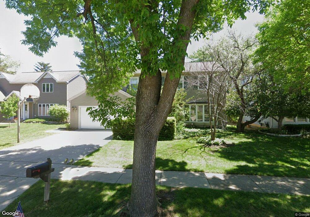
459 Linsey Ave Schaumburg, IL 60194
West Schaumburg NeighborhoodEstimated Value: $449,000 - $563,000
4
Beds
3
Baths
2,231
Sq Ft
$234/Sq Ft
Est. Value
About This Home
This home is located at 459 Linsey Ave, Schaumburg, IL 60194 and is currently estimated at $521,351, approximately $233 per square foot. 459 Linsey Ave is a home located in Cook County with nearby schools including Elizabeth Blackwell Elementary School, Jane Addams Junior High School, and Schaumburg High School.
Ownership History
Date
Name
Owned For
Owner Type
Purchase Details
Closed on
Aug 22, 2013
Sold by
Pitts William E and Pitts Pamela S
Bought by
Pitts William E and Pitts Pamela S
Current Estimated Value
Purchase Details
Closed on
May 7, 2013
Sold by
Pitts William E
Bought by
Pitts William E and Pitts Pamela S
Purchase Details
Closed on
Aug 5, 2011
Sold by
Pitts William E and Pitts Pamela S
Bought by
Pitts William E and William E Pitts Revocable Trust
Purchase Details
Closed on
Aug 13, 2001
Sold by
Kilkuskie Charles J and Kilkuskie Evaleen
Bought by
Smentek Pamela S and Pitts William E
Home Financials for this Owner
Home Financials are based on the most recent Mortgage that was taken out on this home.
Original Mortgage
$227,200
Outstanding Balance
$86,405
Interest Rate
7.28%
Estimated Equity
$434,946
Create a Home Valuation Report for This Property
The Home Valuation Report is an in-depth analysis detailing your home's value as well as a comparison with similar homes in the area
Home Values in the Area
Average Home Value in this Area
Purchase History
| Date | Buyer | Sale Price | Title Company |
|---|---|---|---|
| Pitts William E | -- | None Available | |
| Pitts William E | -- | None Available | |
| Pitts William E | -- | None Available | |
| Smentek Pamela S | $284,000 | -- |
Source: Public Records
Mortgage History
| Date | Status | Borrower | Loan Amount |
|---|---|---|---|
| Open | Smentek Pamela S | $227,200 |
Source: Public Records
Tax History
| Year | Tax Paid | Tax Assessment Tax Assessment Total Assessment is a certain percentage of the fair market value that is determined by local assessors to be the total taxable value of land and additions on the property. | Land | Improvement |
|---|---|---|---|---|
| 2025 | $9,996 | $48,000 | $7,475 | $40,525 |
| 2024 | $9,996 | $39,000 | $6,175 | $32,825 |
| 2023 | $9,665 | $39,000 | $6,175 | $32,825 |
| 2022 | $9,665 | $39,000 | $6,175 | $32,825 |
| 2021 | $8,728 | $32,126 | $4,225 | $27,901 |
| 2020 | $8,645 | $32,126 | $4,225 | $27,901 |
| 2019 | $8,649 | $35,696 | $4,225 | $31,471 |
| 2018 | $8,257 | $30,947 | $3,575 | $27,372 |
| 2017 | $8,144 | $30,947 | $3,575 | $27,372 |
| 2016 | $7,859 | $30,947 | $3,575 | $27,372 |
| 2015 | $7,350 | $27,190 | $3,087 | $24,103 |
| 2014 | $7,285 | $27,190 | $3,087 | $24,103 |
| 2013 | $7,081 | $27,190 | $3,087 | $24,103 |
Source: Public Records
Map
Nearby Homes
- 644 Leslie Ln
- 511 Eagle Ct Unit 85
- 2207 Ramsey Cir Unit 1
- 725 Leslie Ln
- 308 Skyvue Ln
- 2333 Oxhill Ct Unit 873
- 35 Cloverdale Ln
- 720 Huntly Ct Unit 1
- 2216 Andover Ct
- 819 Mansfield Ct Unit 2
- 138 White Branch Ct S Unit 541
- 105 Aspen Dr
- 2019 Williamsburg Dr
- 2400 Mallow Ct Unit Z1
- 845 Harmon Blvd
- 1939 Weston Ln
- 323 Green Knoll Ln Unit 1818
- 304 Glasgow Ln Unit X1
- 120 Ellington Dr
- 105 Glenridge Ln
- 465 Linsey Ave
- 447 Linsey Ave
- 458 Linsey Ave
- 464 Linsey Ave
- 452 Linsey Ave
- 441 Linsey Ave
- 446 Linsey Ave
- 506 Linsey Ave
- 449 N Walnut Ln
- 440 Linsey Ave
- 455 N Walnut Ln
- 445 N Walnut Ln
- 435 Linsey Ave Unit 16
- 505 N Walnut Ln
- 439 N Walnut Ln
- 512 Linsey Ave
- 434 Linsey Ave Unit 16
- 433 N Walnut Ln
- 429 Linsey Ave
Your Personal Tour Guide
Ask me questions while you tour the home.