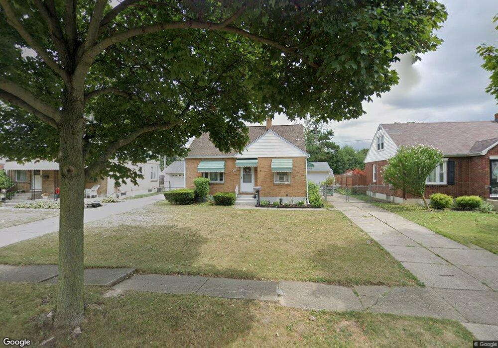
459 Maynard Dr Buffalo, NY 14226
Eggertsville NeighborhoodEstimated Value: $229,000 - $271,000
3
Beds
1
Bath
1,207
Sq Ft
$203/Sq Ft
Est. Value
About This Home
This home is located at 459 Maynard Dr, Buffalo, NY 14226 and is currently estimated at $244,456, approximately $202 per square foot. 459 Maynard Dr is a home located in Erie County with nearby schools including Windermere Boulevard School, Amherst Middle School, and Amherst Central High School.
Ownership History
Date
Name
Owned For
Owner Type
Purchase Details
Closed on
Sep 21, 2006
Sold by
Mohar Oliver N
Bought by
Link Marie P
Current Estimated Value
Home Financials for this Owner
Home Financials are based on the most recent Mortgage that was taken out on this home.
Original Mortgage
$85,100
Outstanding Balance
$50,743
Interest Rate
6.54%
Mortgage Type
Purchase Money Mortgage
Estimated Equity
$193,713
Purchase Details
Closed on
Feb 10, 1996
Sold by
Sinclair Daniel J
Bought by
Mohar Oliver N
Create a Home Valuation Report for This Property
The Home Valuation Report is an in-depth analysis detailing your home's value as well as a comparison with similar homes in the area
Home Values in the Area
Average Home Value in this Area
Purchase History
| Date | Buyer | Sale Price | Title Company |
|---|---|---|---|
| Link Marie P | $85,107 | None Available | |
| Mohar Oliver N | $65,000 | -- |
Source: Public Records
Mortgage History
| Date | Status | Borrower | Loan Amount |
|---|---|---|---|
| Open | Link Marie P | $85,100 |
Source: Public Records
Tax History
| Year | Tax Paid | Tax Assessment Tax Assessment Total Assessment is a certain percentage of the fair market value that is determined by local assessors to be the total taxable value of land and additions on the property. | Land | Improvement |
|---|---|---|---|---|
| 2024 | $4,056 | $175,000 | $34,000 | $141,000 |
| 2023 | $3,405 | $100,000 | $24,000 | $76,000 |
| 2022 | $3,222 | $100,000 | $24,000 | $76,000 |
| 2021 | $3,219 | $100,000 | $24,000 | $76,000 |
| 2020 | $1,795 | $100,000 | $24,000 | $76,000 |
| 2019 | $1,446 | $100,000 | $24,000 | $76,000 |
| 2018 | $2,818 | $100,000 | $24,000 | $76,000 |
| 2017 | $1,569 | $100,000 | $24,000 | $76,000 |
| 2016 | $2,933 | $89,000 | $14,400 | $74,600 |
| 2015 | -- | $89,000 | $14,400 | $74,600 |
| 2014 | -- | $89,000 | $14,400 | $74,600 |
Source: Public Records
Map
Nearby Homes
- 206 Lamont Dr
- 1789 Eggert Rd
- 414 Longmeadow Rd
- 380 Callodine Ave
- 12 Delta Rd
- 150 Meadow Lea Dr
- 483 Longmeadow Rd
- 50 Fairchild Dr
- 526 Capen Blvd
- 240 Callodine Ave
- 236 Callodine Ave
- 1436 Eggert Rd
- 339 Windermere Blvd
- 39 Hartford Rd
- 244 Kettering Dr
- 61 Henel Ave Unit 7
- 179 Callodine Ave
- 300 Windermere Blvd
- 651 Longmeadow Rd
- 79 Clifford Heights
- 463 Maynard Dr
- 455 Maynard Dr
- 451 Maynard Dr
- 340 Rosedale Blvd
- 334 Rosedale Blvd
- 348 Rosedale Blvd
- 447 Maynard Dr
- 475 Maynard Dr
- 352 Rosedale Blvd
- 328 Rosedale Blvd
- 462 Maynard Dr
- 458 Maynard Dr
- 466 Maynard Dr
- 479 Maynard Dr
- 454 Maynard Dr
- 356 Rosedale Blvd
- 443 Maynard Dr
- 474 Maynard Dr
- 322 Rosedale Blvd
- 483 Maynard Dr
Your Personal Tour Guide
Ask me questions while you tour the home.