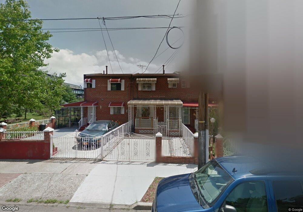
459 Powell St Brooklyn, NY 11212
Brownsville NeighborhoodEstimated Value: $423,000 - $637,000
Studio
--
Bath
1,116
Sq Ft
$492/Sq Ft
Est. Value
About This Home
This home is located at 459 Powell St, Brooklyn, NY 11212 and is currently estimated at $548,774, approximately $491 per square foot. 459 Powell St is a home located in Kings County with nearby schools including P.S. 150 - Christopher, P.S. 165 Ida Posner, and P.S. 156 Waverly.
Ownership History
Date
Name
Owned For
Owner Type
Purchase Details
Closed on
Aug 16, 2022
Sold by
Lizama Wendel G
Bought by
Wendel And Heather Lizama Revocable Trus
Current Estimated Value
Purchase Details
Closed on
Apr 9, 2015
Sold by
Fannie Mae
Bought by
Lizama Wendel G
Purchase Details
Closed on
Jul 22, 2014
Sold by
Wren Walker Hortense and Wren Hortense
Bought by
Federal National Mortgage Association
Create a Home Valuation Report for This Property
The Home Valuation Report is an in-depth analysis detailing your home's value as well as a comparison with similar homes in the area
Home Values in the Area
Average Home Value in this Area
Purchase History
| Date | Buyer | Sale Price | Title Company |
|---|---|---|---|
| Wendel And Heather Lizama Revocable Trus | -- | -- | |
| Lizama Wendel G | $283,920 | -- | |
| Federal National Mortgage Association | $240,906 | -- |
Source: Public Records
Tax History
| Year | Tax Paid | Tax Assessment Tax Assessment Total Assessment is a certain percentage of the fair market value that is determined by local assessors to be the total taxable value of land and additions on the property. | Land | Improvement |
|---|---|---|---|---|
| 2025 | $3,918 | $32,040 | $11,280 | $20,760 |
| 2024 | $3,918 | $33,600 | $11,280 | $22,320 |
| 2023 | $2,801 | $33,840 | $11,280 | $22,560 |
| 2022 | $3,864 | $31,200 | $11,280 | $19,920 |
| 2021 | $3,843 | $26,100 | $11,280 | $14,820 |
| 2019 | $3,400 | $23,460 | $11,280 | $12,180 |
| 2018 | $3,314 | $16,255 | $7,472 | $8,783 |
| 2017 | $3,288 | $16,130 | $8,945 | $7,185 |
| 2016 | $3,042 | $15,218 | $9,111 | $6,107 |
| 2015 | $1,835 | $14,358 | $7,800 | $6,558 |
| 2014 | $1,835 | $13,546 | $8,439 | $5,107 |
Source: Public Records
Map
Nearby Homes
- 625 Sackman St
- 502 Powell St
- 546 Powell St
- 460 Hinsdale St
- 533 Snediker Ave
- 699 Sackman St
- 592 Powell St
- 440 Blake Ave
- 578 Williams Ave
- 582 Williams Ave
- 584 Hinsdale St
- 797 Mother Gaston Blvd
- 589 Hinsdale St
- 525 Alabama Ave
- 606 Alabama Ave
- 610 Alabama Ave
- 555 Christopher Ave
- 650 Williams Ave
- 660 Williams Ave
- 578 Christopher Ave
Your Personal Tour Guide
Ask me questions while you tour the home.